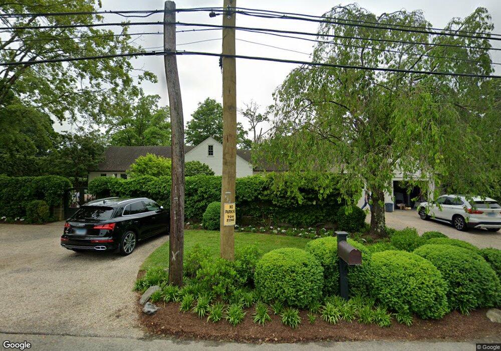
271 Westway Rd Southport, CT 06890
Southport NeighborhoodEstimated Value: $1,788,280 - $2,529,000
3
Beds
3
Baths
2,820
Sq Ft
$728/Sq Ft
Est. Value
About This Home
This home is located at 271 Westway Rd, Southport, CT 06890 and is currently estimated at $2,053,820, approximately $728 per square foot. 271 Westway Rd is a home located in Fairfield County with nearby schools including Mill Hill School, Roger Ludlowe Middle School, and Fairfield Ludlowe High School.
Ownership History
Date
Name
Owned For
Owner Type
Purchase Details
Closed on
Oct 21, 2013
Sold by
Mckinney Lucie
Bought by
Tritschler Elizabeth
Current Estimated Value
Home Financials for this Owner
Home Financials are based on the most recent Mortgage that was taken out on this home.
Original Mortgage
$300,000
Interest Rate
4.24%
Purchase Details
Closed on
Mar 3, 2003
Sold by
Brett Philip M and Brett Anne A
Bought by
Mckinney Lucie C
Purchase Details
Closed on
May 3, 1993
Sold by
Klyver Lydia M and Klyver A
Bought by
Brett Philip M and Brett Anne A
Home Financials for this Owner
Home Financials are based on the most recent Mortgage that was taken out on this home.
Original Mortgage
$450,000
Interest Rate
7.51%
Mortgage Type
Unknown
Create a Home Valuation Report for This Property
The Home Valuation Report is an in-depth analysis detailing your home's value as well as a comparison with similar homes in the area
Home Values in the Area
Average Home Value in this Area
Purchase History
| Date | Buyer | Sale Price | Title Company |
|---|---|---|---|
| Tritschler Elizabeth | $800,000 | -- | |
| Tritschler Elizabeth | $800,000 | -- | |
| Mckinney Lucie C | $1,303,500 | -- | |
| Mckinney Lucie C | $1,303,500 | -- | |
| Brett Philip M | $651,800 | -- | |
| Brett Philip M | $651,800 | -- |
Source: Public Records
Mortgage History
| Date | Status | Borrower | Loan Amount |
|---|---|---|---|
| Open | Brett Philip M | $600,000 | |
| Closed | Brett Philip M | $300,000 | |
| Previous Owner | Brett Philip M | $450,000 |
Source: Public Records
Tax History Compared to Growth
Tax History
| Year | Tax Paid | Tax Assessment Tax Assessment Total Assessment is a certain percentage of the fair market value that is determined by local assessors to be the total taxable value of land and additions on the property. | Land | Improvement |
|---|---|---|---|---|
| 2025 | $19,972 | $703,500 | $467,250 | $236,250 |
| 2024 | $19,628 | $703,500 | $467,250 | $236,250 |
| 2023 | $19,353 | $703,500 | $467,250 | $236,250 |
| 2022 | $18,711 | $686,910 | $467,250 | $219,660 |
| 2021 | $18,533 | $686,910 | $467,250 | $219,660 |
| 2020 | $18,890 | $705,110 | $473,970 | $231,140 |
| 2019 | $18,890 | $705,110 | $473,970 | $231,140 |
| 2018 | $18,587 | $705,110 | $473,970 | $231,140 |
| 2017 | $18,206 | $705,110 | $473,970 | $231,140 |
| 2016 | $17,945 | $705,110 | $473,970 | $231,140 |
| 2015 | $18,491 | $745,920 | $533,400 | $212,520 |
| 2014 | $18,200 | $745,920 | $533,400 | $212,520 |
Source: Public Records
Map
Nearby Homes
- 944 Pequot Ave
- 305 S Gate Ln
- 260 Willow St
- 2 Elmwood Dr Unit 2
- 153 Pease Ave
- 28 Mill Hill Rd Unit 28
- 342 Greens Farms Rd
- 220 Lansdowne
- 828 Sasco Hill Rd
- 844 Mill Hill Terrace
- 775 Sasco Hill Rd
- 53 Hilltop Dr
- 100 Overhill Rd
- 88 Overhill Rd
- 1131 Sasco Hill Rd
- 7 High Gate Rd
- 154 Gorham Rd
- 85 Patrick Dr
- 86 Maple Ave S
- 36 Maple Ave S
- 776 Pequot Ave
- 305 Westway Rd
- 287 Westway Rd
- 211 Westway Rd
- 808 Pequot Ave
- 807 Pequot Ave
- 715 Pequot Ave
- 246 Old South Rd
- 246 Old Rd S
- 187 Westway Rd
- 249 Old South Rd
- 249 Old Rd S
- 860 Pequot Ave
- 683 Pequot Ave
- 832 Pequot Ave
- 665 Pequot Ave
- 216 Old South Rd
- 383 Westford Dr
- 870 Pequot Ave
- 658 Pequot Ave