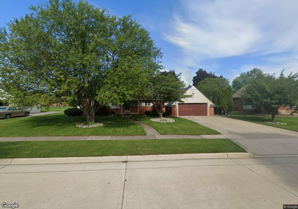
271 Woodcrest Dr Dearborn, MI 48124
Golfcrest NeighborhoodEstimated Value: $758,586 - $958,000
4
Beds
3
Baths
2,221
Sq Ft
$383/Sq Ft
Est. Value
About This Home
This home is located at 271 Woodcrest Dr, Dearborn, MI 48124 and is currently estimated at $850,897, approximately $383 per square foot. 271 Woodcrest Dr is a home located in Wayne County with nearby schools including Howard Elementary School, Bryant Middle School, and Dearborn High School.
Ownership History
Date
Name
Owned For
Owner Type
Purchase Details
Closed on
Sep 7, 2005
Sold by
Imsande Mark Edward and Imsande Patricia A
Bought by
Imsande Marcus E
Current Estimated Value
Home Financials for this Owner
Home Financials are based on the most recent Mortgage that was taken out on this home.
Original Mortgage
$147,000
Interest Rate
6.54%
Mortgage Type
Stand Alone Refi Refinance Of Original Loan
Create a Home Valuation Report for This Property
The Home Valuation Report is an in-depth analysis detailing your home's value as well as a comparison with similar homes in the area
Home Values in the Area
Average Home Value in this Area
Purchase History
| Date | Buyer | Sale Price | Title Company |
|---|---|---|---|
| Imsande Marcus E | -- | None Available |
Source: Public Records
Mortgage History
| Date | Status | Borrower | Loan Amount |
|---|---|---|---|
| Closed | Imsande Marcus E | $147,000 |
Source: Public Records
Tax History Compared to Growth
Tax History
| Year | Tax Paid | Tax Assessment Tax Assessment Total Assessment is a certain percentage of the fair market value that is determined by local assessors to be the total taxable value of land and additions on the property. | Land | Improvement |
|---|---|---|---|---|
| 2025 | $7,609 | $394,000 | $0 | $0 |
| 2024 | $7,609 | $335,000 | $0 | $0 |
| 2023 | $7,200 | $293,700 | $0 | $0 |
| 2022 | $8,102 | $262,800 | $0 | $0 |
| 2021 | $9,415 | $239,600 | $0 | $0 |
| 2019 | $9,319 | $220,800 | $0 | $0 |
| 2018 | $7,897 | $202,100 | $0 | $0 |
| 2017 | $2,265 | $181,900 | $0 | $0 |
| 2016 | $7,385 | $174,400 | $0 | $0 |
| 2015 | $13,956 | $186,600 | $0 | $0 |
| 2013 | $13,520 | $135,200 | $0 | $0 |
| 2011 | -- | $135,200 | $0 | $0 |
Source: Public Records
Map
Nearby Homes
- 500 Brentwood Dr
- 27 Shady Hollow Dr
- 323 Tannahill St
- 21800 Morley Ave Unit 707
- 21800 Morley Ave Unit 116
- 21800 Morley Ave Unit 211
- 21800 Morley Ave Unit 601
- 22811 Marlboro St
- 22905 Marlboro St
- 718 S Military St
- 9 West Ln
- 830 S Brady Rd
- 23153 Marlboro St
- 23211 Myrtle St
- 1821 Golfview Dr
- 1 W Village Ln Unit 48
- 22620 Newman St
- 22700 Garrison St Unit 404
- 22700 Garrison St Unit 1105
- 22700 Garrison St Unit 501
- 309 Woodcrest Dr
- 251 Woodcrest Dr
- 270 Golfcrest Dr
- 240 Golfcrest Dr
- 300 Golfcrest Dr
- 260 Woodcrest Dr
- 327 Woodcrest Dr
- 231 Woodcrest Dr
- 310 Woodcrest Dr
- 222 Golfcrest Dr
- 230 Woodcrest Dr
- 281 Golfcrest Dr
- 330 Golfcrest Dr
- 345 Woodcrest Dr
- 211 Woodcrest Dr
- 340 Woodcrest Dr
- 301 Brentwood Dr
- 210 Woodcrest Dr
- 200 Golfcrest Dr
- 233 Brentwood Dr