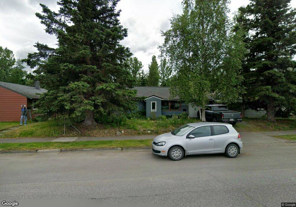
2710 E 20th Ave Anchorage, AK 99508
Airport Heights NeighborhoodEstimated Value: $139,000 - $323,000
2
Beds
1
Bath
702
Sq Ft
$344/Sq Ft
Est. Value
About This Home
This home is located at 2710 E 20th Ave, Anchorage, AK 99508 and is currently estimated at $241,469, approximately $343 per square foot. 2710 E 20th Ave is a home located in Anchorage Municipality with nearby schools including Airport Heights Elementary School, Wendler Middle School, and Bettye Davis East Anchorage High School.
Ownership History
Date
Name
Owned For
Owner Type
Purchase Details
Closed on
Jul 16, 2007
Sold by
Ruthrauff Daniel
Bought by
Ruthrauff Daniel and Becker Emily
Current Estimated Value
Purchase Details
Closed on
Apr 24, 2007
Sold by
Tefft Michelle E and Lynes Tim R
Bought by
Ruthrauff Daniel R
Home Financials for this Owner
Home Financials are based on the most recent Mortgage that was taken out on this home.
Original Mortgage
$180,670
Outstanding Balance
$108,997
Interest Rate
6.11%
Mortgage Type
FHA
Estimated Equity
$132,472
Purchase Details
Closed on
Sep 11, 1998
Sold by
Burns Kathleen C
Bought by
Tefft Michele E and Lynes Tim R
Purchase Details
Closed on
Apr 15, 1988
Sold by
Hardy Gloria
Bought by
Burns Kathleen C
Home Financials for this Owner
Home Financials are based on the most recent Mortgage that was taken out on this home.
Original Mortgage
$51,900
Interest Rate
9.96%
Mortgage Type
FHA
Create a Home Valuation Report for This Property
The Home Valuation Report is an in-depth analysis detailing your home's value as well as a comparison with similar homes in the area
Home Values in the Area
Average Home Value in this Area
Purchase History
| Date | Buyer | Sale Price | Title Company |
|---|---|---|---|
| Ruthrauff Daniel | -- | None Available | |
| Ruthrauff Daniel R | -- | None Available | |
| Tefft Michele E | -- | -- | |
| Tefft Michele E | -- | -- | |
| Burns Kathleen C | -- | -- |
Source: Public Records
Mortgage History
| Date | Status | Borrower | Loan Amount |
|---|---|---|---|
| Open | Ruthrauff Daniel R | $180,670 | |
| Previous Owner | Burns Kathleen C | $51,900 | |
| Closed | Tefft Michele E | $0 |
Source: Public Records
Tax History
| Year | Tax Paid | Tax Assessment Tax Assessment Total Assessment is a certain percentage of the fair market value that is determined by local assessors to be the total taxable value of land and additions on the property. | Land | Improvement |
|---|---|---|---|---|
| 2025 | $3,173 | $286,100 | $99,300 | $186,800 |
| 2024 | $3,173 | $271,500 | $99,300 | $172,200 |
| 2023 | $4,217 | $247,600 | $99,300 | $148,300 |
| 2022 | $3,283 | $243,700 | $99,200 | $144,500 |
| 2021 | $3,968 | $220,200 | $99,200 | $121,000 |
| 2020 | $3,031 | $223,200 | $99,200 | $124,000 |
| 2019 | $2,873 | $219,500 | $99,200 | $120,300 |
| 2018 | $2,850 | $217,200 | $99,200 | $118,000 |
| 2017 | $3,123 | $219,400 | $99,200 | $120,200 |
| 2016 | $2,518 | $202,600 | $85,200 | $117,400 |
| 2015 | $2,518 | $198,600 | $85,200 | $113,400 |
| 2014 | $2,518 | $196,100 | $80,700 | $115,400 |
Source: Public Records
Map
Nearby Homes
- 1703 Alder Dr
- 1701 Aleutian St
- 000 Tr A Thurston
- 2089 Cliffside Dr Unit 29B-6
- 3215 E 18th Cir
- 2601 Darby Cir
- 2007 Parkview Cir
- 1913 Parkview Cir
- 1620 Eastridge Dr Unit 203
- 1625 Sitka St Unit 103
- 3514 E 19th Ave
- 1524 Rosemary St
- 3401 E 15th Ave
- 1536 Valarian St
- 3714 E 17th Ave
- 2518 Crestwood St
- 3958 Reka Dr Unit A1
- 1715 Katrina Cir
- 1403 Nelchina St
- 4358 Reka Dr Unit 4358
- 2704 E 20th Ave
- 2718 E 20th Ave
- 2728 E 20th Ave
- 2636 E 20th Ave
- 2705 E 20th Ave
- 2736 E 20th Ave
- 2628 E 20th Ave
- 2727 E 20th Ave
- 2744 E 20th Ave
- 2618 E 20th Ave
- 1923 Aleutian St
- 2621 E 20th Ave
- 1922 Kuskokwim St
- 2754 E 20th Ave
- 2018 Alder Dr
- 2612 E 20th Ave
- 1922 Aleutian St
- 1911 Aleutian St
- 1912 Kuskokwim St
- 2026 Alder Dr
Your Personal Tour Guide
Ask me questions while you tour the home.