Estimated Value: $186,000 - $325,047
--
Bed
--
Bath
--
Sq Ft
2.71
Acres
About This Home
This home is located at 2710 Shoreline Dr, Delta, UT 84624 and is currently estimated at $272,262. 2710 Shoreline Dr is a home with nearby schools including White River Academy.
Ownership History
Date
Name
Owned For
Owner Type
Purchase Details
Closed on
Jul 8, 2021
Sold by
Noyes Frank
Bought by
Noyes Frank and Moore Amber
Current Estimated Value
Home Financials for this Owner
Home Financials are based on the most recent Mortgage that was taken out on this home.
Original Mortgage
$120,000
Outstanding Balance
$108,881
Interest Rate
2.9%
Mortgage Type
Balloon
Estimated Equity
$163,381
Purchase Details
Closed on
Nov 26, 2008
Sold by
Noyes Cassy
Bought by
Noyes Frank
Create a Home Valuation Report for This Property
The Home Valuation Report is an in-depth analysis detailing your home's value as well as a comparison with similar homes in the area
Home Values in the Area
Average Home Value in this Area
Purchase History
| Date | Buyer | Sale Price | Title Company |
|---|---|---|---|
| Noyes Frank | -- | Southern Utah Title | |
| Noyes Frank | -- | -- |
Source: Public Records
Mortgage History
| Date | Status | Borrower | Loan Amount |
|---|---|---|---|
| Open | Noyes Frank | $120,000 |
Source: Public Records
Tax History Compared to Growth
Tax History
| Year | Tax Paid | Tax Assessment Tax Assessment Total Assessment is a certain percentage of the fair market value that is determined by local assessors to be the total taxable value of land and additions on the property. | Land | Improvement |
|---|---|---|---|---|
| 2024 | $1,224 | $143,491 | $14,639 | $128,852 |
| 2023 | $1,224 | $143,491 | $14,639 | $128,852 |
| 2022 | $1,197 | $106,111 | $12,955 | $93,156 |
| 2021 | $959 | $82,083 | $12,955 | $69,128 |
| 2020 | $1,084 | $93,467 | $12,955 | $80,512 |
| 2019 | $1,064 | $92,612 | $12,100 | $80,512 |
| 2018 | $641 | $57,184 | $12,100 | $45,084 |
| 2017 | $635 | $54,352 | $9,268 | $45,084 |
| 2016 | $607 | $54,352 | $9,268 | $45,084 |
| 2015 | $607 | $54,352 | $9,268 | $45,084 |
| 2014 | -- | $54,352 | $9,268 | $45,084 |
| 2013 | -- | $54,698 | $9,268 | $45,430 |
Source: Public Records
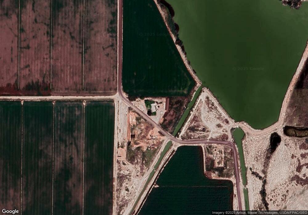
Map
Nearby Homes
- 16800 W 2500 South Rd
- 17000 W 2500 Rd S
- 6500 W 2000 S
- 6000 N 10000 W
- 1500 S 10000 W
- 2000 E 10500 N
- 850 W 15900 N
- 700 Acres
- 700 Acres Hwy 6 & Main St (Hwy 50)
- 0 Tbd 3000 Rd S Unit LotWP001
- 435 W 100 S
- 255 S 400 W
- 451 W 300 N
- 331 W 200 N
- 168 N 100 Rd W
- 163 W 100 S
- 279 W 600 N
- 185 N 200 W
- 328 S Center St
- 6177 S 3000 Rd W
- 145 Sherwood Dr
- 149 Sherwood Dr
- 490 S West Sherwood Dr
- 150 Sherwood Dr
- 158 Sherwood Dr
- 447 S Castle Hills Dr
- 496 Robin Hood Dr
- 186 Nottingham Dr
- 488 Robin Hood Dr
- 483 Robinhood Dr
- 392 Island Park Dr
- 631 Sherwood Dr
- 565 Sherwood Dr
- 356 Sherwood Dr
- 404 S 3000 W
- 426 Island Park Dr
- 361 Sherwood Dr
- 492 Nottingham Dr
- 1800 S S 1800 West St St
- 361 Robin Hood Dr