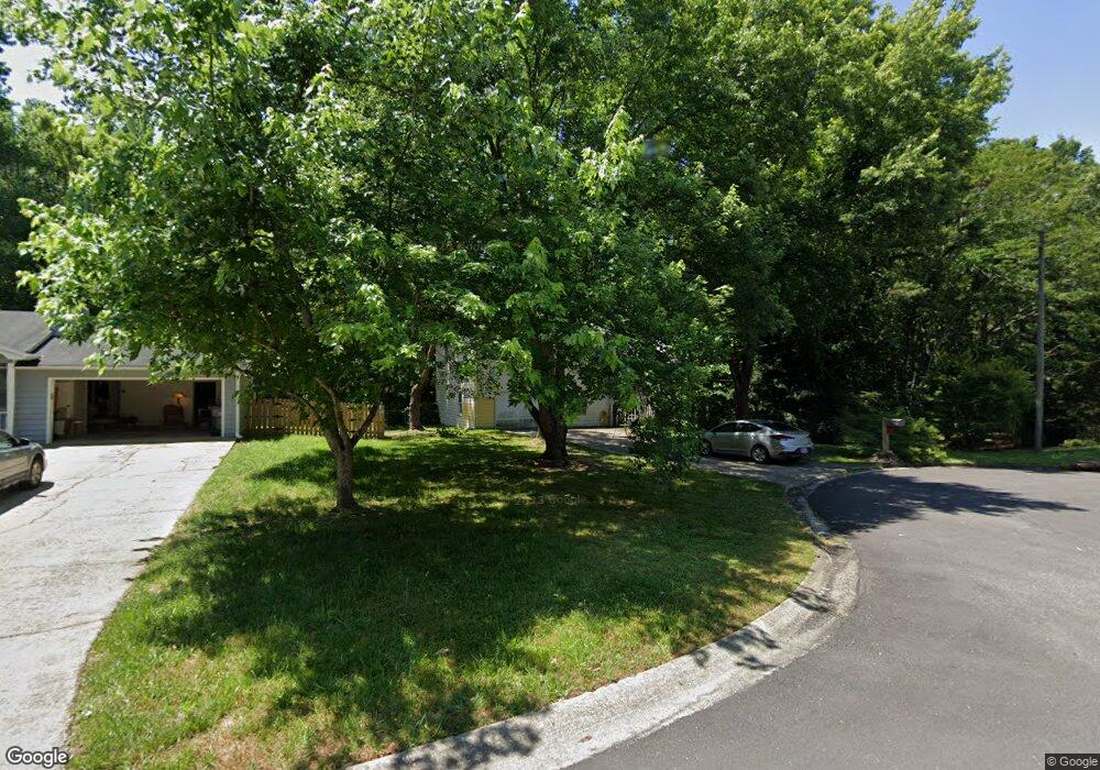
2710 Tybee Dr Unit 1 Buford, GA 30519
Estimated Value: $310,000 - $355,000
3
Beds
2
Baths
1,208
Sq Ft
$272/Sq Ft
Est. Value
About This Home
This home is located at 2710 Tybee Dr Unit 1, Buford, GA 30519 and is currently estimated at $328,020, approximately $271 per square foot. 2710 Tybee Dr Unit 1 is a home located in Gwinnett County with nearby schools including Woodward Mill Elementary School, Twin Rivers Middle School, and Mountain View High School.
Ownership History
Date
Name
Owned For
Owner Type
Purchase Details
Closed on
Dec 11, 1998
Sold by
Brewer Carl D and Brewer Jan
Bought by
Norman Samuel C and Norman Effie J
Current Estimated Value
Home Financials for this Owner
Home Financials are based on the most recent Mortgage that was taken out on this home.
Original Mortgage
$99,105
Outstanding Balance
$21,642
Interest Rate
6.87%
Mortgage Type
FHA
Estimated Equity
$306,378
Create a Home Valuation Report for This Property
The Home Valuation Report is an in-depth analysis detailing your home's value as well as a comparison with similar homes in the area
Home Values in the Area
Average Home Value in this Area
Purchase History
| Date | Buyer | Sale Price | Title Company |
|---|---|---|---|
| Norman Samuel C | $101,500 | -- |
Source: Public Records
Mortgage History
| Date | Status | Borrower | Loan Amount |
|---|---|---|---|
| Open | Norman Samuel C | $99,105 |
Source: Public Records
Tax History Compared to Growth
Tax History
| Year | Tax Paid | Tax Assessment Tax Assessment Total Assessment is a certain percentage of the fair market value that is determined by local assessors to be the total taxable value of land and additions on the property. | Land | Improvement |
|---|---|---|---|---|
| 2025 | $668 | $126,200 | $20,280 | $105,920 |
| 2024 | $669 | $118,960 | $26,000 | $92,960 |
| 2023 | $669 | $123,480 | $26,000 | $97,480 |
| 2022 | $628 | $98,320 | $20,000 | $78,320 |
| 2021 | $621 | $80,120 | $17,200 | $62,920 |
| 2020 | $618 | $70,240 | $14,800 | $55,440 |
| 2019 | $580 | $70,240 | $14,800 | $55,440 |
| 2018 | $562 | $59,920 | $12,000 | $47,920 |
| 2016 | $604 | $47,760 | $10,000 | $37,760 |
| 2015 | $616 | $41,760 | $7,200 | $34,560 |
| 2014 | -- | $38,320 | $7,200 | $31,120 |
Source: Public Records
Map
Nearby Homes
- 2711 Bluffton Rd
- 1375 Rock Springs Rd
- 1405 Rock Springs Rd
- 1334 Taylor Knoll Ln
- 1314 Taylor Knoll Ln
- 3250 Willow Glade Trail
- 1096 Rock Springs Rd
- The Melisse Plan at The Beacon at Old Peachtree - Single Family Homes
- The Pembrook Plan at The Beacon at Old Peachtree - Single Family Homes
- The Graham Plan at The Beacon at Old Peachtree - Single Family Homes
- 1051 Bullpen Bluffs
- 2907 Beaconwood Ct
- 3215 Willow Glade Trail
- 1045 Bullpen Bluffs
- 1057 Bullpen Bluffs
- 2921 Beaconwood Ct
- 1049 Bullpen Bluffs
- 2905 Beaconwood Ct
- 1047 Bullpen Bluffs
- 2901 Beaconwood Ct
- 2720 Tybee Dr Unit 1
- 2700 Tybee Dr
- 2730 Tybee Dr
- 2690 Tybee Dr
- 2731 Tybee Dr
- 2740 Tybee Dr
- 2741 Tybee Dr
- 2691 Tybee Dr
- 2631 Desota Place
- 2611 Desota Place
- 1237 Rock Springs Rd Unit 1
- 2680 Tybee Dr
- 00000 Tech Center Pkwy
- 2632 Tech Center Pkwy
- 2751 Tybee Dr NE
- 2751 Tybee Dr
- 2621 Desota Place
- 2681 Tybee Dr Unit I
- 1267 Rock Springs Rd
- 1294 Rock Springs Rd
