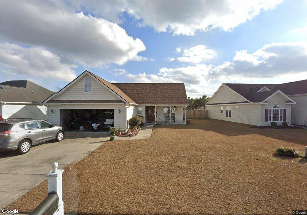
2711 Canvasback Trail Myrtle Beach, SC 29588
Estimated Value: $344,000 - $374,000
3
Beds
2
Baths
2,129
Sq Ft
$168/Sq Ft
Est. Value
About This Home
This home is located at 2711 Canvasback Trail, Myrtle Beach, SC 29588 and is currently estimated at $358,056, approximately $168 per square foot. 2711 Canvasback Trail is a home located in Horry County with nearby schools including Forestbrook Elementary School, Forestbrook Middle School, and Socastee High School.
Ownership History
Date
Name
Owned For
Owner Type
Purchase Details
Closed on
Jun 7, 2004
Sold by
Hunters Ridge Of Myrtle Beach Inc
Bought by
Byrd Donald B and Byrd Kathryn S
Current Estimated Value
Home Financials for this Owner
Home Financials are based on the most recent Mortgage that was taken out on this home.
Original Mortgage
$200,000
Outstanding Balance
$94,763
Interest Rate
6.09%
Mortgage Type
Purchase Money Mortgage
Estimated Equity
$263,293
Purchase Details
Closed on
Dec 2, 2003
Sold by
Hunters Ridge Of Myrtle Beach Inc
Bought by
Diamondroc Llc
Create a Home Valuation Report for This Property
The Home Valuation Report is an in-depth analysis detailing your home's value as well as a comparison with similar homes in the area
Home Values in the Area
Average Home Value in this Area
Purchase History
| Date | Buyer | Sale Price | Title Company |
|---|---|---|---|
| Byrd Donald B | $34,900 | -- | |
| Diamondroc Llc | $30,900 | -- |
Source: Public Records
Mortgage History
| Date | Status | Borrower | Loan Amount |
|---|---|---|---|
| Open | Byrd Donald B | $200,000 |
Source: Public Records
Tax History
| Year | Tax Paid | Tax Assessment Tax Assessment Total Assessment is a certain percentage of the fair market value that is determined by local assessors to be the total taxable value of land and additions on the property. | Land | Improvement |
|---|---|---|---|---|
| 2025 | $741 | $0 | $0 | $0 |
| 2024 | $741 | $14,498 | $4,028 | $10,470 |
| 2023 | $741 | $7,900 | $1,284 | $6,616 |
| 2021 | $648 | $7,900 | $1,284 | $6,616 |
| 2020 | $558 | $7,900 | $1,284 | $6,616 |
| 2019 | $558 | $7,900 | $1,284 | $6,616 |
| 2018 | $518 | $7,286 | $970 | $6,316 |
| 2017 | $503 | $7,286 | $970 | $6,316 |
| 2016 | -- | $7,286 | $970 | $6,316 |
| 2015 | $503 | $7,286 | $970 | $6,316 |
| 2014 | $464 | $7,286 | $970 | $6,316 |
Source: Public Records
Map
Nearby Homes
- 2540 Bearstand Trail
- 2463 Hunters Trail
- 2459 Hunters Trail
- 2560 Wild Game Trail Unit Hunters Ridge
- 281 La Patos Dr
- 2425 Hunters Trail
- 3845 Camden Dr
- 780 Harrison Mill St
- 4121 Whatuthink Rd
- 2410 Hunters Trail
- 3312 Piney Woods Way
- 837 Harrison Mill St
- 3007 Visionary Dr
- 3217 Shadowpine Ct
- 621 Cottontail Trail
- 629 Cottontail Trail Unit Hunters Ridge Crossi
- 6096 Zoe Way Unit 819
- 6108 Zoe Way Unit 822
- 6100 Zoe Way Unit 820
- 125 Marsh Rabbit Dr
- 2713 Canvasback Trail
- 2709 Canvasback Trail
- 2715 Canvasback Trail
- 2707 Canvasback Trail
- 2625 Corn Pile Rd
- 2625 Corn Pile Rd
- 2710 Canvasback Trail
- 2627 Corn Pile Rd
- 2717 Canvasback Trail
- 2712 Canvasback Trail
- 2705 Canvasback Trail
- LOT 182 Canvasback Trail
- 2708 Canvasback Trail
- 2629 Corn Pile Rd
- 2706 Canvasback Trail
- 2619 Corn Pile Rd
- 2719 Canvasback Trail
- 2716 Canvasback Trail
- 2617 Corn Pile Rd
- 2703 Canvasback Trail Unit Hunters Ridge