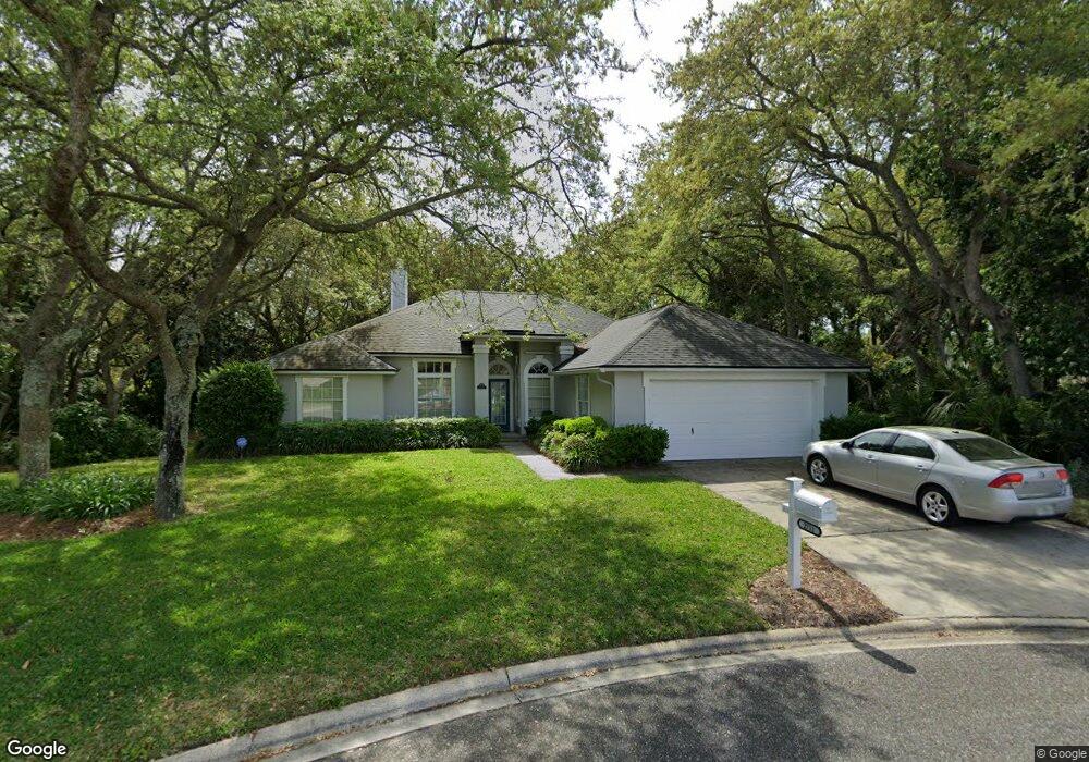
2711 Eastwind Dr Fernandina Beach, FL 32034
Estimated Value: $646,000 - $681,000
4
Beds
2
Baths
1,734
Sq Ft
$384/Sq Ft
Est. Value
About This Home
This home is located at 2711 Eastwind Dr, Fernandina Beach, FL 32034 and is currently estimated at $665,146, approximately $383 per square foot. 2711 Eastwind Dr is a home located in Nassau County with nearby schools including Southside Elementary School, Emma Love Hardee Elementary School, and Fernandina Beach Middle School.
Ownership History
Date
Name
Owned For
Owner Type
Purchase Details
Closed on
May 17, 2002
Sold by
Norwood Joseph
Bought by
Mazany Anthony M and Leising Jane E
Current Estimated Value
Home Financials for this Owner
Home Financials are based on the most recent Mortgage that was taken out on this home.
Original Mortgage
$152,500
Interest Rate
6.5%
Mortgage Type
Stand Alone First
Create a Home Valuation Report for This Property
The Home Valuation Report is an in-depth analysis detailing your home's value as well as a comparison with similar homes in the area
Home Values in the Area
Average Home Value in this Area
Purchase History
| Date | Buyer | Sale Price | Title Company |
|---|---|---|---|
| Mazany Anthony M | $212,500 | First American Title Ins Co |
Source: Public Records
Mortgage History
| Date | Status | Borrower | Loan Amount |
|---|---|---|---|
| Closed | Mazany Anthony M | $152,500 |
Source: Public Records
Tax History Compared to Growth
Tax History
| Year | Tax Paid | Tax Assessment Tax Assessment Total Assessment is a certain percentage of the fair market value that is determined by local assessors to be the total taxable value of land and additions on the property. | Land | Improvement |
|---|---|---|---|---|
| 2024 | $3,009 | $232,869 | -- | -- |
| 2023 | $3,009 | $226,086 | $0 | $0 |
| 2022 | $2,724 | $219,501 | $0 | $0 |
| 2021 | $2,749 | $213,108 | $0 | $0 |
| 2020 | $2,742 | $210,166 | $0 | $0 |
| 2019 | $2,701 | $205,441 | $0 | $0 |
| 2018 | $2,672 | $201,610 | $0 | $0 |
| 2017 | $2,434 | $197,463 | $0 | $0 |
| 2016 | $2,409 | $193,402 | $0 | $0 |
| 2015 | $2,433 | $192,058 | $0 | $0 |
| 2014 | $2,423 | $190,534 | $0 | $0 |
Source: Public Records
Map
Nearby Homes
- 1918 Sea Oats Ave
- 96025 Sea Breeze Way
- 2133 Taurus Ct
- 2881 Landyns Cir
- 1401 Fountain Dr
- 96147 Montego Bay
- 2674 Robert Oliver Ave
- 2105 Purcell Dr
- 2700 Mizell Ave Unit 203B
- 2700 Mizell Ave Unit 504A
- 2700 Mizell Ave Unit 403A
- 884 Robinhood Dr
- 2552 Pirates Bay Dr
- 2490 Captain Hook Dr
- 1512 Inverness Rd Unit 3
- 2850 1st Ave
- 2636 1st Ave
- 2805 S Fletcher Ave
- 2583 Forest Ridge Dr Unit 3
- 2563 Forest Ridge Dr Unit P3
- 2719 Eastwind Dr
- 2758 Sterling Ct
- 2720 Eastwind Dr
- 1905 Sea Oats Ave
- 2754 Sterling Ct
- 1821 Sea Oats Ave
- 1917 Sea Oats Ave
- 2727 Eastwind Dr
- 1813 Sea Oats Ave
- 1923 Sea Oats Ave
- 2728 Eastwind Dr
- 2760 Sterling Ct
- 1726 Sterling Ln
- 1804 Sterling Ln
- 1939 Sea Oats Ave
- 1812 Sterling Ln
- 2749 Eastwind Dr Unit 1
- 2736 Eastwind Dr
- 2757 Eastwind Dr