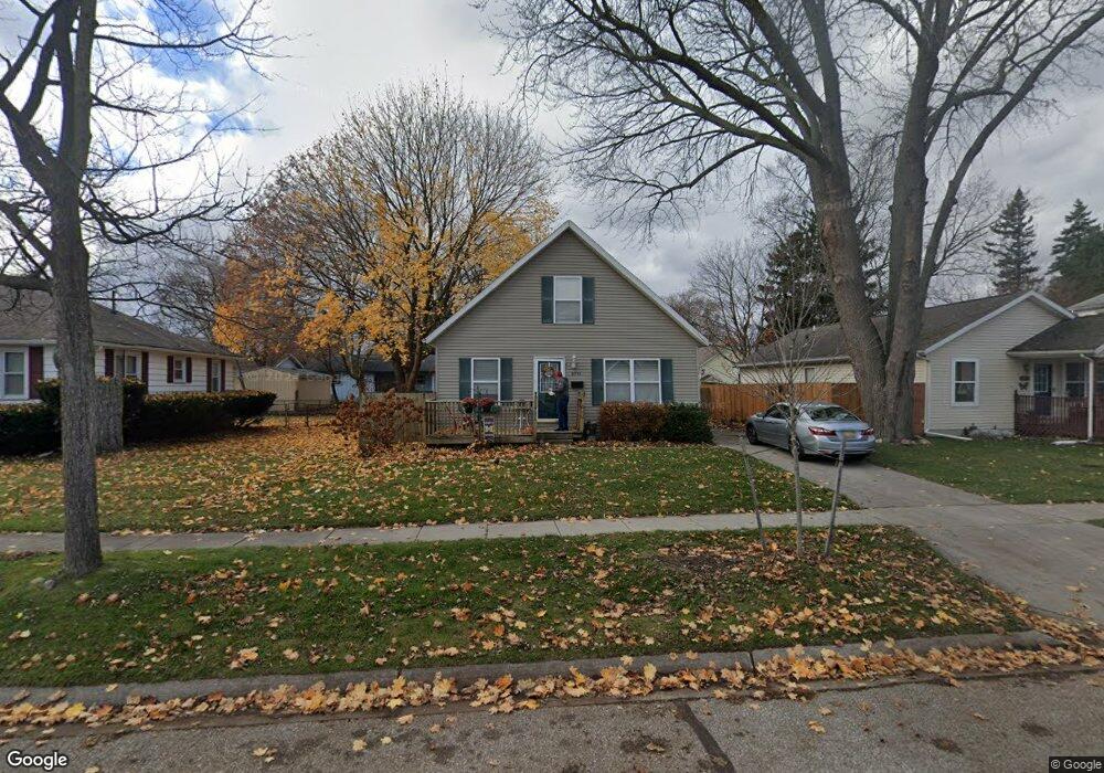
2711 Maple St Port Huron, MI 48060
Estimated Value: $181,000 - $194,000
3
Beds
1
Bath
1,190
Sq Ft
$158/Sq Ft
Est. Value
About This Home
This home is located at 2711 Maple St, Port Huron, MI 48060 and is currently estimated at $188,341, approximately $158 per square foot. 2711 Maple St is a home located in St. Clair County with nearby schools including Garfield Elementary School, Holland Woods Middle School, and Port Huron Northern High School.
Ownership History
Date
Name
Owned For
Owner Type
Purchase Details
Closed on
Nov 29, 2022
Sold by
Folske Jay
Bought by
Kuschel Scott R and Kuschel Suzette C
Current Estimated Value
Home Financials for this Owner
Home Financials are based on the most recent Mortgage that was taken out on this home.
Original Mortgage
$127,920
Outstanding Balance
$124,172
Interest Rate
7.08%
Mortgage Type
New Conventional
Estimated Equity
$64,169
Create a Home Valuation Report for This Property
The Home Valuation Report is an in-depth analysis detailing your home's value as well as a comparison with similar homes in the area
Home Values in the Area
Average Home Value in this Area
Purchase History
| Date | Buyer | Sale Price | Title Company |
|---|---|---|---|
| Kuschel Scott R | $159,900 | Service One Title |
Source: Public Records
Mortgage History
| Date | Status | Borrower | Loan Amount |
|---|---|---|---|
| Open | Kuschel Scott R | $127,920 |
Source: Public Records
Tax History
| Year | Tax Paid | Tax Assessment Tax Assessment Total Assessment is a certain percentage of the fair market value that is determined by local assessors to be the total taxable value of land and additions on the property. | Land | Improvement |
|---|---|---|---|---|
| 2025 | $3,304 | $89,600 | $0 | $0 |
| 2024 | $3,223 | $85,900 | $0 | $0 |
| 2023 | $3,045 | $76,900 | $0 | $0 |
| 2022 | $2,497 | $68,600 | $0 | $0 |
| 2020 | $2,393 | $62,500 | $62,500 | $0 |
| 2019 | $2,350 | $40,800 | $0 | $0 |
| 2018 | $2,297 | $40,800 | $0 | $0 |
| 2017 | $2,108 | $39,400 | $0 | $0 |
| 2016 | $1,882 | $39,400 | $0 | $0 |
| 2015 | $1,847 | $36,000 | $36,000 | $0 |
| 2014 | $1,847 | $34,300 | $34,300 | $0 |
| 2013 | -- | $34,500 | $0 | $0 |
Source: Public Records
Map
Nearby Homes
- 910 Church St
- 2431 Armour St
- 2400 Stone St Unit 2414
- 2915 10th Ave
- 2846 Cooper Ave
- 817 Florida Ave
- 3142 Wright St
- 1020 Sanborn St
- 3165 10th Ave
- 2915 Linda Ct
- 1828 Kennelworth Dr
- 1813 N Woodland Dr
- 3455 Gratiot Ave
- 2835 17th Ave
- 2008 Elmwood St
- 810 Holland Ave Unit 8
- 2224 Garfield St
- 2525 19th Ave
- 1523 Elk St
- 1907 Riverside Dr
Your Personal Tour Guide
Ask me questions while you tour the home.