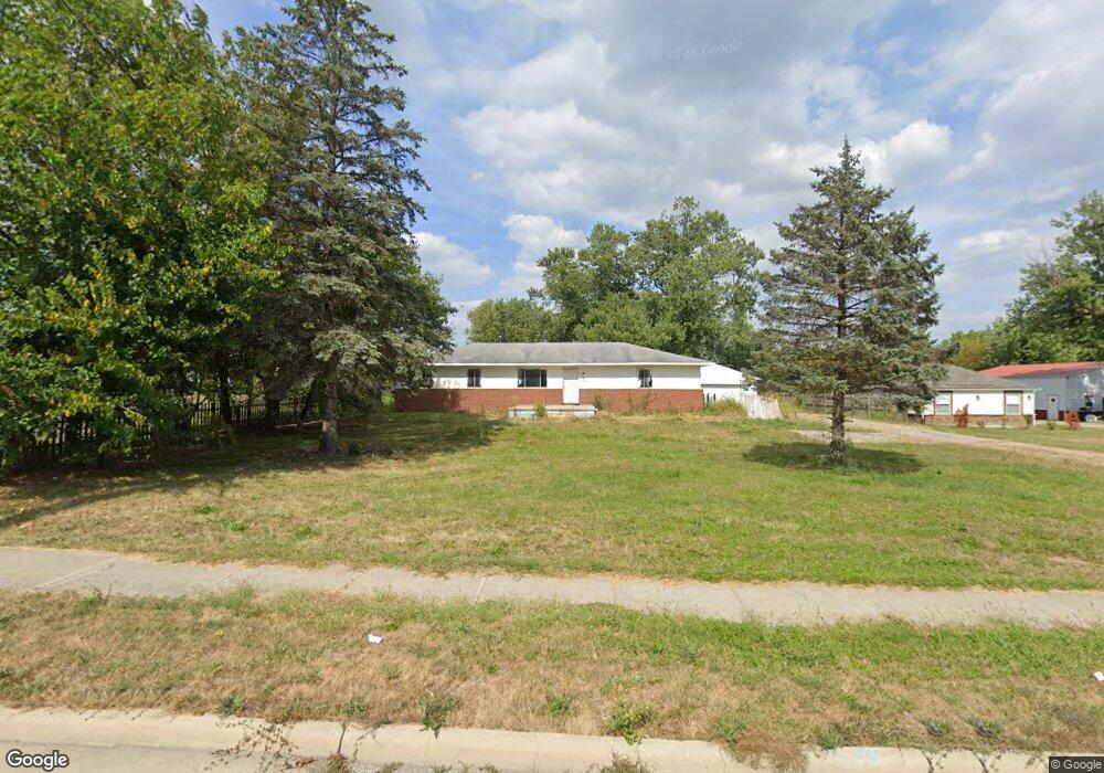
2712 Clime Rd Columbus, OH 43223
Brookshire NeighborhoodEstimated Value: $223,000 - $364,000
3
Beds
2
Baths
936
Sq Ft
$307/Sq Ft
Est. Value
About This Home
This home is located at 2712 Clime Rd, Columbus, OH 43223 and is currently estimated at $287,225, approximately $306 per square foot. 2712 Clime Rd is a home located in Franklin County with nearby schools including James A Harmon Elementary School, Franklin Woods Intermediate School, and Finland Middle School.
Ownership History
Date
Name
Owned For
Owner Type
Purchase Details
Closed on
Sep 20, 2019
Sold by
Vorhees Kathryn J
Bought by
Wolfe Doug and Wolfe Lorri
Current Estimated Value
Purchase Details
Closed on
Aug 15, 2018
Sold by
Dowler Ralph E and Dowler Randall S
Bought by
Vorhees Kathryn J
Purchase Details
Closed on
Apr 25, 2018
Bought by
Vorhees Kathryn J and Dowler Ralph E
Purchase Details
Closed on
Jul 25, 1964
Bought by
Dowler Ralph E
Create a Home Valuation Report for This Property
The Home Valuation Report is an in-depth analysis detailing your home's value as well as a comparison with similar homes in the area
Home Values in the Area
Average Home Value in this Area
Purchase History
| Date | Buyer | Sale Price | Title Company |
|---|---|---|---|
| Wolfe Doug | $80,000 | Title First Box | |
| Vorhees Kathryn J | -- | None Available | |
| Vorhees Kathryn J | -- | -- | |
| Dowler Ralph E | -- | -- |
Source: Public Records
Tax History Compared to Growth
Tax History
| Year | Tax Paid | Tax Assessment Tax Assessment Total Assessment is a certain percentage of the fair market value that is determined by local assessors to be the total taxable value of land and additions on the property. | Land | Improvement |
|---|---|---|---|---|
| 2024 | $5,004 | $95,970 | $46,830 | $49,140 |
| 2023 | $4,979 | $95,970 | $46,830 | $49,140 |
| 2022 | $3,836 | $50,860 | $23,770 | $27,090 |
| 2021 | $3,649 | $50,860 | $23,770 | $27,090 |
| 2020 | $3,644 | $50,860 | $23,770 | $27,090 |
| 2019 | $3,317 | $41,510 | $19,810 | $21,700 |
| 2018 | $2,619 | $41,510 | $19,810 | $21,700 |
| 2017 | $2,314 | $41,510 | $19,810 | $21,700 |
| 2016 | $2,081 | $33,890 | $11,590 | $22,300 |
| 2015 | $1,933 | $33,890 | $11,590 | $22,300 |
| 2014 | $1,934 | $33,890 | $11,590 | $22,300 |
| 2013 | $1,092 | $37,660 | $12,880 | $24,780 |
Source: Public Records
Map
Nearby Homes
- 0 Glencreek Rd
- 1520 Fall Brook Rd
- 0 S Central Ave
- 2894 Creith Ct
- 2195 Big Run Ave
- 2856 Chesfield Dr
- 2987 Daisy Ln
- 2800 Alkire Rd
- 2255 Harrisburg Pike
- 1949 Big Run Bluffs Blvd
- 4745 Big Run Rd E
- 1248 Gresham Rd
- 2103 Keller Place W
- 1948 Big Run Bluffs Blvd
- 1543 Red Leaf Ln
- 2547 Rosedale Ave
- 2929 Briggs Rd
- 2154 Drumlin Dr
- 2210 October Ridge Dr
- 2436 Onyx Ct