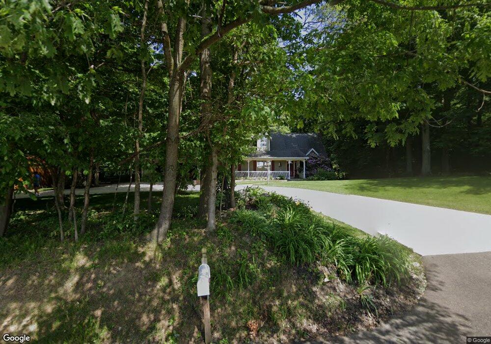
2712 Deermont Ave NW Massillon, OH 44647
Amherst Heights-Clearview NeighborhoodEstimated Value: $420,360 - $500,000
3
Beds
3
Baths
2,289
Sq Ft
$202/Sq Ft
Est. Value
About This Home
This home is located at 2712 Deermont Ave NW, Massillon, OH 44647 and is currently estimated at $462,840, approximately $202 per square foot. 2712 Deermont Ave NW is a home located in Stark County with nearby schools including Tuslaw Elementary School, Tuslaw Middle School, and Tuslaw High School.
Ownership History
Date
Name
Owned For
Owner Type
Purchase Details
Closed on
Oct 20, 2016
Sold by
Tylke Nelson R and Tylke Sandra L
Bought by
Tylke Nelson Ray and The Nelson Ray Tylke Revocable Trust
Current Estimated Value
Purchase Details
Closed on
May 31, 2012
Sold by
Lehman Randell K and Lehman Maryl L
Bought by
Tylke Nelson R and Tylke Sandra J
Home Financials for this Owner
Home Financials are based on the most recent Mortgage that was taken out on this home.
Original Mortgage
$164,000
Outstanding Balance
$114,136
Interest Rate
3.92%
Mortgage Type
New Conventional
Estimated Equity
$348,704
Purchase Details
Closed on
Jan 10, 1992
Create a Home Valuation Report for This Property
The Home Valuation Report is an in-depth analysis detailing your home's value as well as a comparison with similar homes in the area
Home Values in the Area
Average Home Value in this Area
Purchase History
| Date | Buyer | Sale Price | Title Company |
|---|---|---|---|
| Tylke Nelson Ray | -- | None Available | |
| Tylke Nelson R | $239,000 | None Available | |
| -- | $19,000 | -- |
Source: Public Records
Mortgage History
| Date | Status | Borrower | Loan Amount |
|---|---|---|---|
| Open | Tylke Nelson R | $164,000 |
Source: Public Records
Tax History Compared to Growth
Tax History
| Year | Tax Paid | Tax Assessment Tax Assessment Total Assessment is a certain percentage of the fair market value that is determined by local assessors to be the total taxable value of land and additions on the property. | Land | Improvement |
|---|---|---|---|---|
| 2025 | -- | $146,870 | $27,060 | $119,810 |
| 2024 | -- | $146,870 | $27,060 | $119,810 |
| 2023 | $4,331 | $110,330 | $18,590 | $91,740 |
| 2022 | $4,263 | $108,820 | $18,590 | $90,230 |
| 2021 | $4,325 | $108,820 | $18,590 | $90,230 |
| 2020 | $3,714 | $87,960 | $15,230 | $72,730 |
| 2019 | $3,586 | $87,960 | $15,230 | $72,730 |
| 2018 | $3,530 | $87,960 | $15,230 | $72,730 |
| 2017 | $3,315 | $77,740 | $13,620 | $64,120 |
| 2016 | $3,352 | $77,740 | $13,620 | $64,120 |
| 2015 | $3,393 | $77,740 | $13,620 | $64,120 |
| 2014 | $1,427 | $75,150 | $13,130 | $62,020 |
| 2013 | $1,726 | $75,150 | $13,130 | $62,020 |
Source: Public Records
Map
Nearby Homes
- 2636 Kenyon Ave NW
- 3564 Kenyon Creek Ave NW
- 3610 Kenyon Creek Ave NW
- 3575 Kenyon Creek Ave NW
- 1783 Heron Creek St NW
- 4420 Lockhart Cir NW
- 3069 Castle West Cir NW
- 4745 Sippo Reserves Dr NW
- 2855 Poplar St NW
- 1350 Alpha St NW
- 10225 Wooster St NW
- 1252 Gabrielle Cir NW
- 830 Standish Cir NW
- 3130 Lincoln Way W
- 0 Manchester Ave NW
- 860 17th St NW
- 822 32nd St NW
- 852 15th St NW
- 982 Lanedale St NW
- 4065 Manchester Ave NW
- 2830 Deermont Ave NW
- 2644 Deermont Ave NW
- 2936 Deermont Ave NW
- 11571 Corundite Rd NW
- 11631 Corundite Rd NW
- 11525 Corundite Rd NW
- 2882 Kenyon Ave NW
- 11411 Corundite Rd NW
- 11624 Corundite Rd NW
- 11524 Corundite Rd NW
- 11373 Corundite Rd NW
- 11333 Corundite Rd NW
- 11376 Corundite Rd NW
- 11341 Corundite Rd NW
- 2340 Deermont Ave NW
- 11285 Corundite Rd NW
- 11262 Corundite Rd NW
- 2262 Deermont Ave NW
- 2626 Kenyon Ave NW
- 11184 Corundite Rd NW