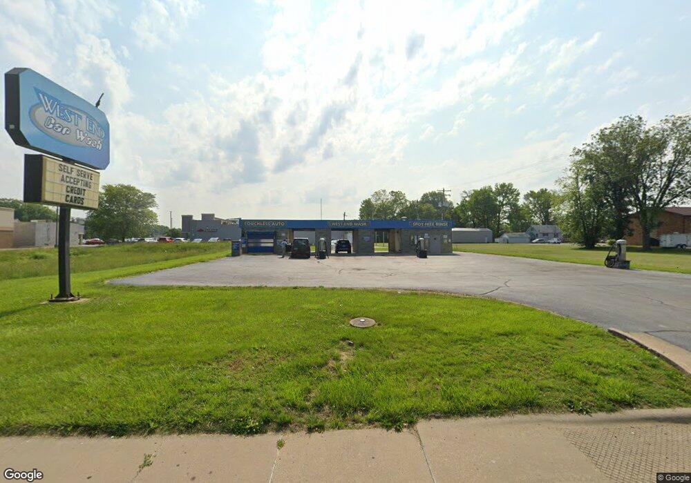
2712 Frank Scott Pkwy W Belleville, IL 62223
Estimated Value: $197,070
--
Bed
--
Bath
1,638
Sq Ft
$120/Sq Ft
Est. Value
About This Home
This home is located at 2712 Frank Scott Pkwy W, Belleville, IL 62223 and is currently estimated at $197,070, approximately $120 per square foot. 2712 Frank Scott Pkwy W is a home located in St. Clair County with nearby schools including Ellis Elementary School, Emge Junior High School, and Our Lady Queen Of Peace Catholic School.
Ownership History
Date
Name
Owned For
Owner Type
Purchase Details
Closed on
Jun 1, 2021
Sold by
Dbt Properties Llc
Bought by
Westwood Washes Llc
Current Estimated Value
Purchase Details
Closed on
Oct 21, 2011
Sold by
Bell Richard E
Bought by
Dbt Poperties Llc
Home Financials for this Owner
Home Financials are based on the most recent Mortgage that was taken out on this home.
Original Mortgage
$131,000
Interest Rate
4.12%
Mortgage Type
Purchase Money Mortgage
Create a Home Valuation Report for This Property
The Home Valuation Report is an in-depth analysis detailing your home's value as well as a comparison with similar homes in the area
Home Values in the Area
Average Home Value in this Area
Purchase History
| Date | Buyer | Sale Price | Title Company |
|---|---|---|---|
| Westwood Washes Llc | $150,000 | Town & Country Title Co | |
| Dbt Poperties Llc | $290,000 | Fatic |
Source: Public Records
Mortgage History
| Date | Status | Borrower | Loan Amount |
|---|---|---|---|
| Previous Owner | Dbt Poperties Llc | $131,000 |
Source: Public Records
Tax History Compared to Growth
Tax History
| Year | Tax Paid | Tax Assessment Tax Assessment Total Assessment is a certain percentage of the fair market value that is determined by local assessors to be the total taxable value of land and additions on the property. | Land | Improvement |
|---|---|---|---|---|
| 2024 | $5,841 | $63,644 | $11,508 | $52,136 |
| 2023 | $6,042 | $62,733 | $11,423 | $51,310 |
| 2022 | $5,644 | $56,476 | $10,284 | $46,192 |
| 2021 | $5,461 | $52,210 | $9,507 | $42,703 |
| 2020 | $7,794 | $80,198 | $8,878 | $71,320 |
| 2019 | $9,306 | $84,343 | $9,337 | $75,006 |
| 2018 | $9,142 | $82,519 | $9,135 | $73,384 |
| 2017 | $4,616 | $81,939 | $9,071 | $72,868 |
| 2016 | $9,126 | $80,198 | $8,878 | $71,320 |
| 2014 | $7,645 | $77,868 | $8,870 | $68,998 |
| 2013 | $7,401 | $78,982 | $8,997 | $69,985 |
Source: Public Records
Map
Nearby Homes
- 2819 Frank Scott Pkwy W
- 6005 N Belt W
- 102 Kensington Heights Rd
- 22 Terrace Dr
- 102 Kingsway Dr
- 4720 Ruth St
- 6204 Warren Dr
- 53 Paulette Dr
- 18 Jonathon Lee Dr
- 11 Kingsway Dr
- 3 Lynnwood Ct
- 408 Rosewood Ct
- 22 Elizabeth Dr
- 44 Gatewood Ct
- 12 Lynnwood Ct
- 202 Liberty Dr
- 8 S 51st St
- 4907 W Washington St
- 5316 W Main St
- 119 Freedom Dr
- 2726 Frank Scott Pkwy W
- 2711 Frank Scott Pkwy W
- 2707 Frank Scott Pkwy W
- 2721 Frank Scott Pkwy W
- 2727 Frank Scott Pkwy W
- 2715 Frank Scott Pkwy W
- 5905 Memory Ln
- 5825 Memory Ln
- 2617 Frank Scott Pkwy W
- 5907 Memory Ln
- 2810 Frank Scott Pkwy W
- 2810 Frank Scott Pkwy W Unit 800
- 2810 Frank Scott Pkwy W
- 2810 Frank Scott Pkwy W Unit 812
- 5817 Memory Ln
- 5909 Memory Ln
- 5908 Wilson Dr
- 5905 Wilson Dr
- 5813 Memory Ln
- 5913 Memory Ln