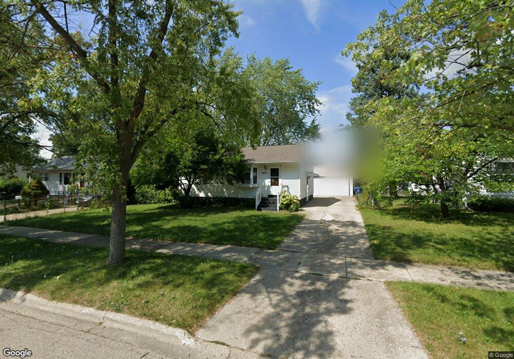
2712 Mohawk Rd Waukegan, IL 60087
Lake Cogardens NeighborhoodEstimated Value: $168,000 - $213,770
2
Beds
1
Bath
768
Sq Ft
$256/Sq Ft
Est. Value
About This Home
This home is located at 2712 Mohawk Rd, Waukegan, IL 60087 and is currently estimated at $196,943, approximately $256 per square foot. 2712 Mohawk Rd is a home located in Lake County with nearby schools including Oakdale Elementary School, Miguel Juarez Middle School, and Waukegan High School.
Ownership History
Date
Name
Owned For
Owner Type
Purchase Details
Closed on
Jun 16, 2006
Sold by
Gulledge John E
Bought by
Moreno Rogelio and Moreno Mario
Current Estimated Value
Home Financials for this Owner
Home Financials are based on the most recent Mortgage that was taken out on this home.
Original Mortgage
$143,000
Outstanding Balance
$83,128
Interest Rate
6.37%
Mortgage Type
Purchase Money Mortgage
Estimated Equity
$113,815
Purchase Details
Closed on
Dec 2, 1996
Sold by
Barto Marguerite C
Bought by
Barto Marguerite C and Gulledge John E
Create a Home Valuation Report for This Property
The Home Valuation Report is an in-depth analysis detailing your home's value as well as a comparison with similar homes in the area
Home Values in the Area
Average Home Value in this Area
Purchase History
| Date | Buyer | Sale Price | Title Company |
|---|---|---|---|
| Moreno Rogelio | $143,000 | Nat | |
| Barto Marguerite C | -- | -- |
Source: Public Records
Mortgage History
| Date | Status | Borrower | Loan Amount |
|---|---|---|---|
| Open | Moreno Rogelio | $143,000 |
Source: Public Records
Tax History Compared to Growth
Tax History
| Year | Tax Paid | Tax Assessment Tax Assessment Total Assessment is a certain percentage of the fair market value that is determined by local assessors to be the total taxable value of land and additions on the property. | Land | Improvement |
|---|---|---|---|---|
| 2024 | $4,874 | $57,215 | $8,662 | $48,553 |
| 2023 | $3,700 | $51,688 | $7,826 | $43,862 |
| 2022 | $3,700 | $43,851 | $7,456 | $36,395 |
| 2021 | $3,370 | $38,326 | $6,454 | $31,872 |
| 2020 | $3,367 | $35,706 | $6,013 | $29,693 |
| 2019 | $3,336 | $32,719 | $5,510 | $27,209 |
| 2018 | $2,607 | $26,545 | $7,020 | $19,525 |
| 2017 | $2,487 | $23,485 | $6,211 | $17,274 |
| 2016 | $2,226 | $20,407 | $5,397 | $15,010 |
| 2015 | $2,072 | $18,264 | $4,830 | $13,434 |
| 2014 | $2,336 | $19,347 | $5,301 | $14,046 |
| 2012 | $3,115 | $20,961 | $5,744 | $15,217 |
Source: Public Records
Map
Nearby Homes
- 2713 Varonen Ave
- 2928 W Country Club Ave
- 3000 W Country Club Ave
- 2946 W Country Club Ave
- 1913 Chippewa Rd
- 2715 W Greenwood Ave
- 2440 W Cheyenne Rd
- 2705 Dana Ave
- 3320 Sunset Ave
- 2708 Dana Ave
- 3032 W Vermont Ave
- 2810 W Atlantic Ave
- 2207 Williamsburg Dr
- 36955 N Garrick Ave
- 2350 N Lewis Ave
- 12312 W Audrey Ave
- 12352 W Atlantic Ave
- 12933 W Polo Ave
- 2008 Harding Ave
- 2009 Harding Ave
- 2708 Mohawk Rd
- 2716 Mohawk Rd
- 2713 Sunset Ave
- 2709 Sunset Ave
- 2717 Sunset Ave
- 2720 Mohawk Rd
- 2704 Mohawk Rd
- 2721 Sunset Ave
- 2705 Sunset Ave
- 2709 Mohawk Rd
- 2713 Mohawk Rd
- 2705 Mohawk Rd
- 2724 Mohawk Rd
- 2700 Mohawk Rd
- 2717 Mohawk Rd
- 2725 Sunset Ave
- 2701 Sunset Ave
- 2701 Mohawk Rd
- 2721 Mohawk Rd
- 2638 Mohawk Rd