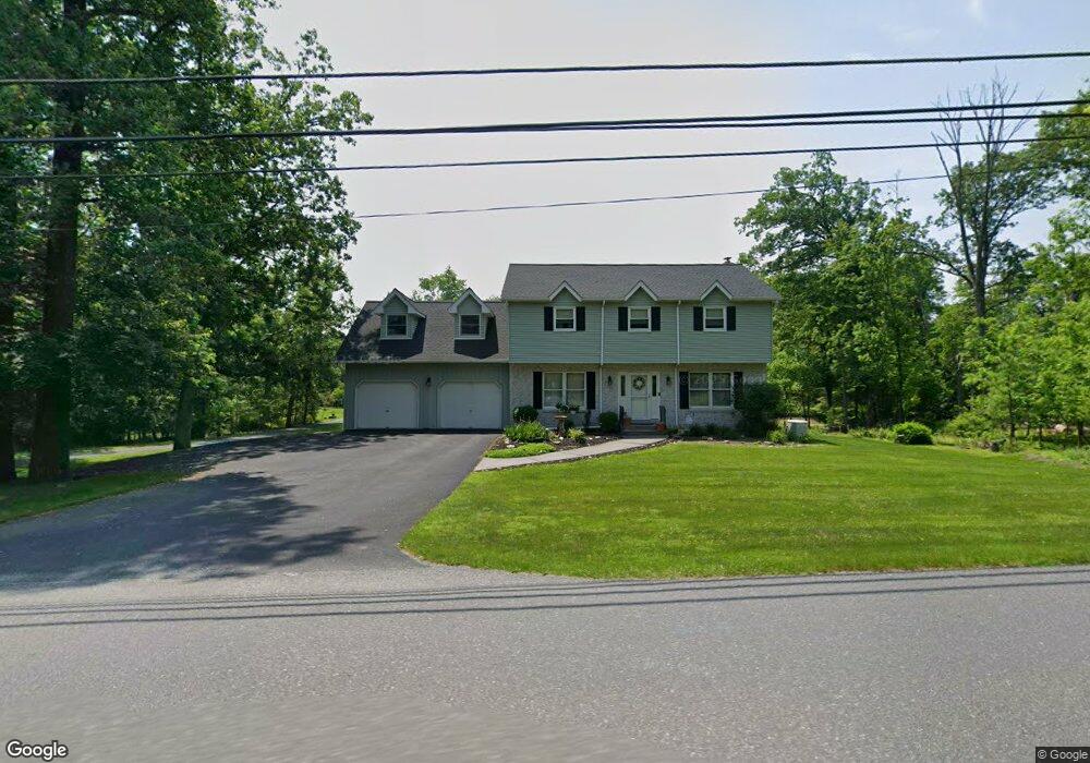
2712 Welshtown Rd Slatington, PA 18080
Washington Township NeighborhoodEstimated Value: $361,000 - $482,000
4
Beds
2
Baths
2,088
Sq Ft
$199/Sq Ft
Est. Value
About This Home
This home is located at 2712 Welshtown Rd, Slatington, PA 18080 and is currently estimated at $415,831, approximately $199 per square foot. 2712 Welshtown Rd is a home located in Lehigh County with nearby schools including Deep Creek Central Elementary School, Grassfield Elementary School, and Slatington Elementary School.
Ownership History
Date
Name
Owned For
Owner Type
Purchase Details
Closed on
Oct 11, 1985
Sold by
Lancsak Francis G and Lancsak Agnes M
Bought by
Sander Joseph M and Sander Cynthia A
Current Estimated Value
Create a Home Valuation Report for This Property
The Home Valuation Report is an in-depth analysis detailing your home's value as well as a comparison with similar homes in the area
Home Values in the Area
Average Home Value in this Area
Purchase History
| Date | Buyer | Sale Price | Title Company |
|---|---|---|---|
| Sander Joseph M | $8,500 | -- |
Source: Public Records
Tax History Compared to Growth
Tax History
| Year | Tax Paid | Tax Assessment Tax Assessment Total Assessment is a certain percentage of the fair market value that is determined by local assessors to be the total taxable value of land and additions on the property. | Land | Improvement |
|---|---|---|---|---|
| 2025 | $6,580 | $223,400 | $62,100 | $161,300 |
| 2024 | $6,466 | $223,400 | $62,100 | $161,300 |
| 2023 | $6,288 | $223,400 | $62,100 | $161,300 |
| 2022 | $6,176 | $223,400 | $161,300 | $62,100 |
| 2021 | $6,071 | $223,400 | $62,100 | $161,300 |
| 2020 | $5,941 | $223,400 | $62,100 | $161,300 |
| 2019 | $5,786 | $223,400 | $62,100 | $161,300 |
| 2018 | $5,648 | $223,400 | $62,100 | $161,300 |
| 2017 | $5,632 | $223,400 | $62,100 | $161,300 |
| 2016 | -- | $223,400 | $62,100 | $161,300 |
| 2015 | -- | $223,400 | $62,100 | $161,300 |
| 2014 | -- | $223,400 | $62,100 | $161,300 |
Source: Public Records
Map
Nearby Homes
- 2718 Welshtown Rd
- 2670 Welshtown Rd
- 2724 Welshtown Rd
- 2693 Welshtown Rd
- 2666 Welshtown Rd
- 2708 Welshtown Rd
- 2727 Welshtown Rd
- 2674 Welshtown Rd
- 2730 Welshtown Rd
- 2662 Welshtown Rd
- 2742 Welshtown Rd
- 2739 Welshtown Rd
- 2656 Welshtown Rd
- 2657 Welshtown Rd
- 2675 Welshtown Rd
- 2814 Welshtown Rd
- 8201 Armstrong Ln
- 2817 Welshtown Rd
- 2653 Welshtown Rd
- 2822 Welshtown Rd