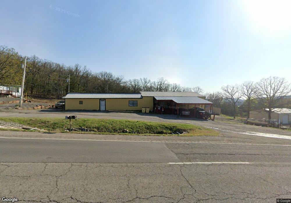
27123 Highway 82 Park Hill, OK 74451
Estimated Value: $95,697 - $261,000
3
Beds
2
Baths
6,801
Sq Ft
$27/Sq Ft
Est. Value
About This Home
This home is located at 27123 Highway 82, Park Hill, OK 74451 and is currently estimated at $182,674, approximately $26 per square foot. 27123 Highway 82 is a home located in Cherokee County.
Ownership History
Date
Name
Owned For
Owner Type
Purchase Details
Closed on
Aug 27, 2021
Sold by
Ryals Justin L and Ryals Kimberly
Bought by
Faber Roger D and Faber Roger
Current Estimated Value
Purchase Details
Closed on
Jan 17, 2020
Sold by
Armstrong Bank
Bought by
Ryals Justin L and Ryals Kimberly
Home Financials for this Owner
Home Financials are based on the most recent Mortgage that was taken out on this home.
Original Mortgage
$34,400
Interest Rate
3.6%
Mortgage Type
Future Advance Clause Open End Mortgage
Purchase Details
Closed on
Jul 23, 2019
Sold by
The Estate Of Donald A Bowin
Bought by
Armstrong Bank
Create a Home Valuation Report for This Property
The Home Valuation Report is an in-depth analysis detailing your home's value as well as a comparison with similar homes in the area
Home Values in the Area
Average Home Value in this Area
Purchase History
| Date | Buyer | Sale Price | Title Company |
|---|---|---|---|
| Faber Roger D | $75,000 | Infinity Title Llc | |
| Ryals Justin L | $43,000 | Infinity Title Llc | |
| Armstrong Bank | -- | None Available |
Source: Public Records
Mortgage History
| Date | Status | Borrower | Loan Amount |
|---|---|---|---|
| Previous Owner | Ryals Justin L | $34,400 |
Source: Public Records
Tax History Compared to Growth
Tax History
| Year | Tax Paid | Tax Assessment Tax Assessment Total Assessment is a certain percentage of the fair market value that is determined by local assessors to be the total taxable value of land and additions on the property. | Land | Improvement |
|---|---|---|---|---|
| 2024 | $629 | $7,283 | $1,595 | $5,688 |
| 2023 | $629 | $7,283 | $1,595 | $5,688 |
| 2022 | $576 | $7,283 | $1,595 | $5,688 |
| 2021 | $1,614 | $20,266 | $504 | $19,762 |
| 2020 | $1,735 | $21,357 | $504 | $20,853 |
| 2019 | $1,711 | $21,357 | $504 | $20,853 |
| 2018 | $1,704 | $21,357 | $504 | $20,853 |
| 2017 | $1,708 | $21,357 | $504 | $20,853 |
| 2016 | $1,639 | $20,527 | $137 | $20,390 |
| 2015 | $1,459 | $19,550 | $434 | $19,116 |
| 2014 | $1,459 | $18,619 | $413 | $18,206 |
Source: Public Records
Map
Nearby Homes
- 27778 Hwy 82
- 27871 S Lakeview Dr
- 0 E 855 Rd
- 22231 E 843 Rd
- 27989 S Lakeview Dr
- 10 S Big Hollow Rd
- 22307 E 843 Rd
- 26204 S 532 Rd
- 28917 S Ranch Ln
- 29300 State Highway 82 Unit 92
- 29300 Hwy 82 Unit 113
- 29300 Hwy 82 Unit 119
- 27245 S 565 Rd
- 26055 S Sandbass Run
- 0 Hwy 82 Hwy Unit 2536097
- 19925 E Horseshoe Bend Rd
- 24720 S 555 Rd
- 20100 E Horseshoe Bend Rd
- 20178 E Horseshoe Bend Rd
- 28383 S 568 Rd
- 27144 Hwy 82
- 27232 Highway 82
- 27029 S 556 Rd
- 21560 E 851 Rd
- 21592 E 851 Rd
- 27098 S 556 Rd
- 27144 Hwy 82 S
- 21499 E Carters Landing Rd
- 21557 E Carters Landing Rd
- 21601 E Carters Landing Rd
- 233 Carters Landing Rd
- 21625 E Carters Landing Rd
- 21625 E Carters Landing Rd
- 21629 E Carters Landing Rd
- 27293 Highway 82
- 26844 S 552 Rd
- 21408 E 843 Rd
- 26840 Highway 82
- 21448 E 843 Rd
- 21454 E 843 Rd