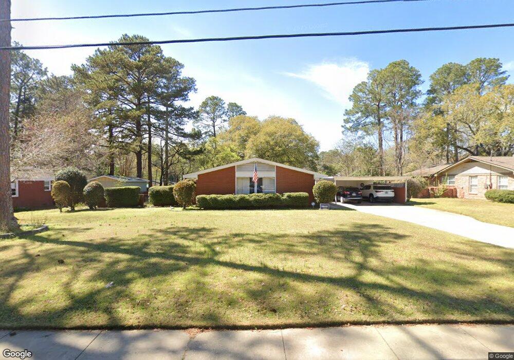
2713 Auburn Ave Columbus, GA 31906
Hilton Heights-Clubview Heights NeighborhoodEstimated Value: $313,000 - $319,000
3
Beds
3
Baths
2,430
Sq Ft
$130/Sq Ft
Est. Value
About This Home
This home is located at 2713 Auburn Ave, Columbus, GA 31906 and is currently estimated at $316,770, approximately $130 per square foot. 2713 Auburn Ave is a home located in Muscogee County with nearby schools including Clubview Elementary School, Richards Middle School, and Hardaway High School.
Ownership History
Date
Name
Owned For
Owner Type
Purchase Details
Closed on
May 17, 2011
Sold by
Landis V Michael
Bought by
Ogrady Eugene L and Ogrady Tyler B
Current Estimated Value
Home Financials for this Owner
Home Financials are based on the most recent Mortgage that was taken out on this home.
Original Mortgage
$216,826
Outstanding Balance
$150,058
Interest Rate
4.79%
Mortgage Type
VA
Estimated Equity
$166,712
Create a Home Valuation Report for This Property
The Home Valuation Report is an in-depth analysis detailing your home's value as well as a comparison with similar homes in the area
Home Values in the Area
Average Home Value in this Area
Purchase History
| Date | Buyer | Sale Price | Title Company |
|---|---|---|---|
| Ogrady Eugene L | $209,900 | -- |
Source: Public Records
Mortgage History
| Date | Status | Borrower | Loan Amount |
|---|---|---|---|
| Open | Ogrady Eugene L | $216,826 |
Source: Public Records
Tax History Compared to Growth
Tax History
| Year | Tax Paid | Tax Assessment Tax Assessment Total Assessment is a certain percentage of the fair market value that is determined by local assessors to be the total taxable value of land and additions on the property. | Land | Improvement |
|---|---|---|---|---|
| 2025 | $2,770 | $107,476 | $18,728 | $88,748 |
| 2024 | $2,768 | $107,476 | $18,728 | $88,748 |
| 2023 | $2,092 | $107,476 | $18,728 | $88,748 |
| 2022 | $2,887 | $83,800 | $18,728 | $65,072 |
| 2021 | $2,880 | $83,240 | $18,728 | $64,512 |
| 2020 | $2,881 | $83,240 | $18,728 | $64,512 |
| 2019 | $2,892 | $83,240 | $18,728 | $64,512 |
| 2018 | $2,892 | $83,240 | $18,728 | $64,512 |
| 2017 | $2,903 | $83,240 | $18,728 | $64,512 |
| 2016 | $2,915 | $83,936 | $14,643 | $69,293 |
| 2015 | $2,919 | $83,936 | $14,643 | $69,293 |
| 2014 | $2,923 | $83,936 | $14,643 | $69,293 |
| 2013 | -- | $83,936 | $14,643 | $69,293 |
Source: Public Records
Map
Nearby Homes
- 2637 Sue MacK Dr
- 2604 Sue MacK Dr
- 2576 Habersham Ave
- 2940 Birchfield Dr
- 2817 Carson Dr
- 2820 Nancy St
- 2930 Sue MacK Dr
- 2722 E Lindsay Dr
- 2917 Edgewood Rd
- 1903 Marilon Dr
- 3224 Carden Dr
- 2525 Norris Rd Unit 36
- 2525 Norris Rd Unit 73
- 2525 Norris Rd Unit 91
- 2010 Wells Dr
- 1712 Marilon Dr
- 1714 Iris Dr
- 3402 Cambridge Dr
- 2609 Hilton Ave
- 2645 Edgewood Rd
- 2721 Auburn Ave
- 2705 Auburn Ave
- 2714 Sue MacK Dr
- 2704 Sue MacK Dr
- 2729 Auburn Ave
- 2643 Auburn Ave
- 2710 Auburn Ave
- 2642 Sue MacK Dr
- 2700 Auburn Ave
- 2927 Glenbrook Dr
- 2640 Auburn Ave
- 2737 Auburn Ave
- 2635 Auburn Ave
- 2632 Sue MacK Dr
- 2868 Techwood Dr
- 2931 Glenbrook Dr
- 2632 Auburn Ave
- 2740 Sue MacK Dr
- 2709 Habersham Ave
- 2740 Auburn Ave