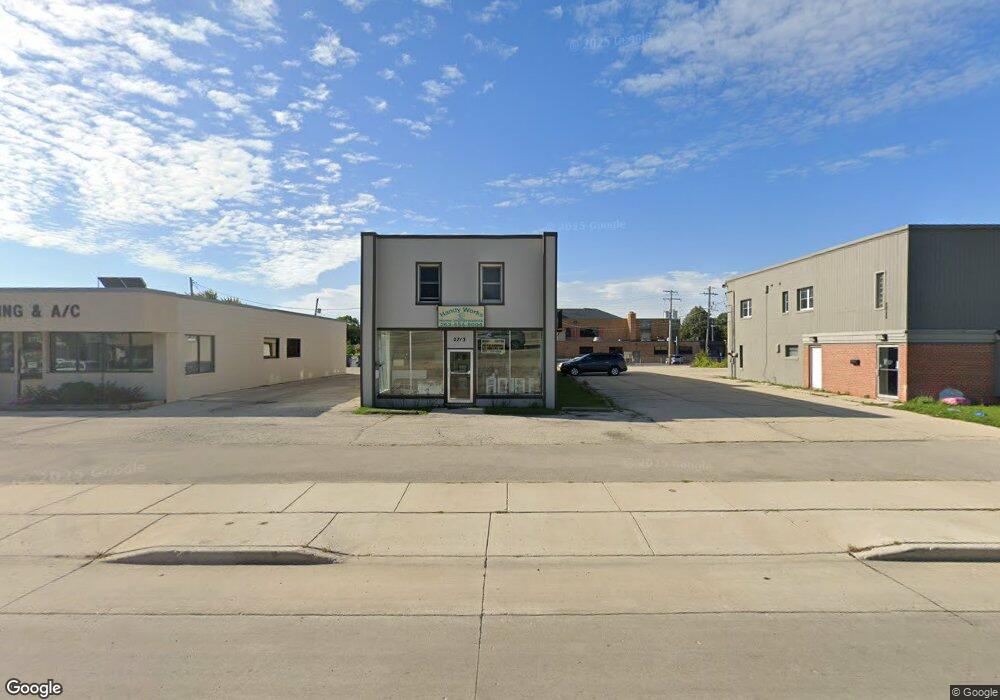
2713 Durand Ave Unit 2713 Racine, WI 53403
Green Crest NeighborhoodEstimated Value: $220,416
--
Bed
--
Bath
4,272
Sq Ft
$52/Sq Ft
Est. Value
About This Home
This home is located at 2713 Durand Ave Unit 2713, Racine, WI 53403 and is currently estimated at $220,416, approximately $51 per square foot. 2713 Durand Ave Unit 2713 is a home located in Racine County with nearby schools including Mitchell Elementary School, Mitchell Middle School, and Park High School.
Ownership History
Date
Name
Owned For
Owner Type
Purchase Details
Closed on
Dec 18, 2020
Sold by
Katt Holdings Llc
Bought by
2713 Durand Llc
Current Estimated Value
Home Financials for this Owner
Home Financials are based on the most recent Mortgage that was taken out on this home.
Original Mortgage
$112,500
Outstanding Balance
$100,159
Interest Rate
2.7%
Mortgage Type
Future Advance Clause Open End Mortgage
Estimated Equity
$120,257
Create a Home Valuation Report for This Property
The Home Valuation Report is an in-depth analysis detailing your home's value as well as a comparison with similar homes in the area
Home Values in the Area
Average Home Value in this Area
Purchase History
| Date | Buyer | Sale Price | Title Company |
|---|---|---|---|
| 2713 Durand Llc | $150,000 | Landmark Title Of Racine Inc |
Source: Public Records
Mortgage History
| Date | Status | Borrower | Loan Amount |
|---|---|---|---|
| Open | 2713 Durand Llc | $112,500 |
Source: Public Records
Tax History Compared to Growth
Tax History
| Year | Tax Paid | Tax Assessment Tax Assessment Total Assessment is a certain percentage of the fair market value that is determined by local assessors to be the total taxable value of land and additions on the property. | Land | Improvement |
|---|---|---|---|---|
| 2024 | $4,015 | $154,000 | $31,200 | $122,800 |
| 2023 | $4,183 | $154,000 | $31,200 | $122,800 |
| 2022 | $900 | $147,000 | $31,200 | $115,800 |
| 2021 | $4,435 | $147,000 | $31,200 | $115,800 |
| 2020 | $4,341 | $147,000 | $31,200 | $115,800 |
| 2019 | $4,032 | $137,000 | $31,200 | $105,800 |
| 2018 | $3,944 | $128,000 | $31,200 | $96,800 |
| 2017 | $4,337 | $128,000 | $31,200 | $96,800 |
| 2016 | $4,413 | $128,000 | $31,200 | $96,800 |
| 2015 | $4,653 | $128,000 | $31,200 | $96,800 |
| 2014 | $4,653 | $128,000 | $31,200 | $96,800 |
| 2013 | $4,653 | $143,000 | $31,200 | $111,800 |
Source: Public Records
Map
Nearby Homes
- 2712 Mitchell St
- 2711 Gilson St
- 2821 Pinehurst Ave
- 3111 Wheelock Dr
- 3427 E Elmwood Dr
- 3221 Kearney Ave
- 3019 Phillips Ave
- 3031 Phillips Ave
- 3010 21st St
- 2426 21st St
- 2721 Brentwood Dr
- 2005 Thurston Ave
- 2042 Hickory Grove Ave
- 2627 Lathrop Ave
- 3810 Durand Ave
- 3330 Raymond Ct
- 2021 Jay Eye See Ave
- 3331 Green Meadows Ln
- 1820 Holmes Ave
- 2504 Norwood Ct
- 2713 Durand Ave
- 3017 Drexel Ave
- 2747 Hwy R
- 2700 Durand Ave
- 2710 Durand Ave
- 2624 Durand Ave
- 3023 Carpenter Ave
- 3023 Carpenter Ave
- 2620 Durand Ave
- 2919 Drexel Ave
- 2616 Durand Ave
- 3031 Carpenter Ave
- 2612 Durand Ave
- 3035 Carpenter Ave
- 2913 Drexel Ave
- 2608 Durand Ave
- 3030 Drexel Ave
- 3039 Carpenter Ave
- 2604 Durand Ave
- 2701 Dwight St