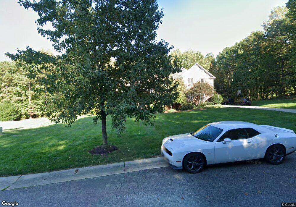
2713 Fernvale Ct Midlothian, VA 23113
Westchester NeighborhoodEstimated Value: $1,178,986 - $1,255,000
6
Beds
6
Baths
4,899
Sq Ft
$248/Sq Ft
Est. Value
About This Home
This home is located at 2713 Fernvale Ct, Midlothian, VA 23113 and is currently estimated at $1,215,747, approximately $248 per square foot. 2713 Fernvale Ct is a home located in Chesterfield County with nearby schools including Bettie Weaver Elementary School, Robious Middle School, and James River High School.
Ownership History
Date
Name
Owned For
Owner Type
Purchase Details
Closed on
Mar 31, 2023
Sold by
Ott Charles Alan and Ott Mary Ann
Bought by
Ott Charles Alan and Ott Mary Ann
Current Estimated Value
Purchase Details
Closed on
Mar 29, 2002
Sold by
Gray Land/Development Co Inc
Bought by
Ott Charles A and Ott Mary A
Home Financials for this Owner
Home Financials are based on the most recent Mortgage that was taken out on this home.
Original Mortgage
$600,000
Interest Rate
6.88%
Create a Home Valuation Report for This Property
The Home Valuation Report is an in-depth analysis detailing your home's value as well as a comparison with similar homes in the area
Home Values in the Area
Average Home Value in this Area
Purchase History
| Date | Buyer | Sale Price | Title Company |
|---|---|---|---|
| Ott Charles Alan | -- | -- | |
| Ott Charles A | $95,500 | -- |
Source: Public Records
Mortgage History
| Date | Status | Borrower | Loan Amount |
|---|---|---|---|
| Previous Owner | Ott Charles A | $600,000 |
Source: Public Records
Tax History Compared to Growth
Tax History
| Year | Tax Paid | Tax Assessment Tax Assessment Total Assessment is a certain percentage of the fair market value that is determined by local assessors to be the total taxable value of land and additions on the property. | Land | Improvement |
|---|---|---|---|---|
| 2025 | $9,738 | $1,091,400 | $174,000 | $917,400 |
| 2024 | $9,738 | $1,072,900 | $174,000 | $898,900 |
| 2023 | $8,911 | $979,200 | $169,000 | $810,200 |
| 2022 | $8,481 | $921,800 | $166,000 | $755,800 |
| 2021 | $8,683 | $907,000 | $166,000 | $741,000 |
| 2020 | $8,243 | $867,700 | $160,000 | $707,700 |
| 2019 | $7,764 | $817,300 | $142,000 | $675,300 |
| 2018 | $7,571 | $796,900 | $140,000 | $656,900 |
| 2017 | $7,586 | $790,200 | $140,000 | $650,200 |
| 2016 | $7,384 | $769,200 | $135,000 | $634,200 |
| 2015 | $7,467 | $775,200 | $130,000 | $645,200 |
| 2014 | $7,348 | $762,800 | $116,000 | $646,800 |
Source: Public Records
Map
Nearby Homes
- 16106 Swallowtail Place
- 816 Founders Grant Place
- 14335 Lander Rd
- 16151 Founders Bridge Terrace
- 2206 Founders Bridge Rd
- 14110 Netherfield Dr
- 2523 Huguenot Springs Rd
- 16037 Aspect Way
- 16033 Aspect Way
- 16112 Esteem Way
- 1175 Cardinal Crest Terrace
- 16116 Esteem Way
- 521 Bel Crest Terrace
- 14560 Kenmont Dr
- 16041 Aspect Way
- 16025 Aspect Way
- 13901 Dunkeld Terrace
- 3200 Queens Grant Dr
- 16029 Aspect Way
- 513 Totten Dr
- 2707 Fernvale Ct
- 2719 Fernvale Ct
- 16206 Mabry Mill Dr
- 16200 Mabry Mill Dr
- 2718 Fernvale Ct
- 16212 Mabry Mill Dr
- 16142 Swallowtail Place
- 16136 Swallowtail Place
- 16124 Mabry Mill Dr
- 16218 Mabry Mill Dr
- 16130 Swallowtail Place
- 16148 Swallowtail Place
- 16224 Mabry Mill Dr
- 2648 Mulberry Row Rd
- 746 Riverstone Rd
- 16201 Mabry Mill Dr
- 16118 Mabry Mill Dr
- 16207 Mabry Mill Dr
- 750 Riverstone Rd
- 754 Riverstone Rd