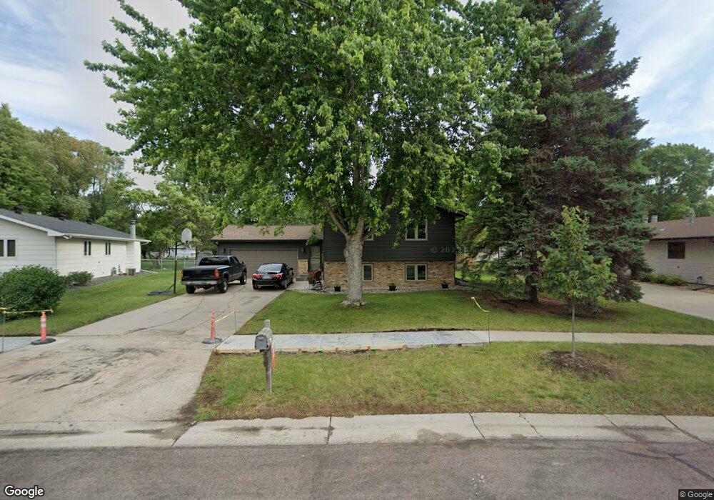
2713 Southgate Dr S Fargo, ND 58103
Westgate NeighborhoodEstimated Value: $279,000 - $347,000
3
Beds
2
Baths
2,200
Sq Ft
$143/Sq Ft
Est. Value
About This Home
This home is located at 2713 Southgate Dr S, Fargo, ND 58103 and is currently estimated at $314,569, approximately $142 per square foot. 2713 Southgate Dr S is a home located in Cass County with nearby schools including Lewis & Clark Elementary School, Carl Ben Eielson Middle School, and South High School.
Ownership History
Date
Name
Owned For
Owner Type
Purchase Details
Closed on
Sep 30, 2009
Sold by
Bjornstad Teri M
Bought by
Whiting Chad G and Whiting Karie L
Current Estimated Value
Home Financials for this Owner
Home Financials are based on the most recent Mortgage that was taken out on this home.
Original Mortgage
$165,665
Interest Rate
4.9%
Mortgage Type
New Conventional
Create a Home Valuation Report for This Property
The Home Valuation Report is an in-depth analysis detailing your home's value as well as a comparison with similar homes in the area
Home Values in the Area
Average Home Value in this Area
Purchase History
| Date | Buyer | Sale Price | Title Company |
|---|---|---|---|
| Whiting Chad G | -- | -- |
Source: Public Records
Mortgage History
| Date | Status | Borrower | Loan Amount |
|---|---|---|---|
| Previous Owner | Whiting Chad G | $165,665 |
Source: Public Records
Tax History Compared to Growth
Tax History
| Year | Tax Paid | Tax Assessment Tax Assessment Total Assessment is a certain percentage of the fair market value that is determined by local assessors to be the total taxable value of land and additions on the property. | Land | Improvement |
|---|---|---|---|---|
| 2024 | $3,781 | $148,300 | $45,650 | $102,650 |
| 2023 | $3,588 | $123,150 | $45,650 | $77,500 |
| 2022 | $3,651 | $123,150 | $45,650 | $77,500 |
| 2021 | $3,372 | $114,950 | $44,250 | $70,700 |
| 2020 | $3,246 | $111,700 | $44,250 | $67,450 |
| 2019 | $3,249 | $111,700 | $27,650 | $84,050 |
| 2018 | $3,211 | $111,700 | $27,650 | $84,050 |
| 2017 | $3,043 | $106,400 | $27,650 | $78,750 |
| 2016 | $2,707 | $103,300 | $27,650 | $75,650 |
| 2015 | $2,654 | $94,750 | $18,800 | $75,950 |
| 2014 | $2,535 | $87,750 | $18,800 | $68,950 |
| 2013 | $2,533 | $87,750 | $18,800 | $68,950 |
Source: Public Records
Map
Nearby Homes
- 1402 E Gateway Cir S Unit M
- 2719 Cobblestone Ct S
- 3211 15th Ave S Unit B
- 3210 15th Ave S
- 3217 15th Ave S
- 3208 16th Ave S
- 3237 17th Ave S Unit 101
- 1725 Prairie Ln S
- 3250 15th Ave S Unit 2
- 1427 23rd St S
- 2202 15th Ave S
- 3253 17th Ave S Unit 101
- 1129 22nd St S Unit B09
- 1129 22nd St S Unit B12
- 71 Prairiewood Crossing S Unit B
- 2009 13th Ave S
- 2707 Southgate Dr S
- 2719 Southgate Dr S
- 2714 Eastgate Dr S
- 2832 Westgate Dr S
- 2708 Eastgate Dr S
- 2701 Southgate Dr S
- 2725 Southgate Dr S
- 2702 Eastgate Dr S
- 2844 Westgate Dr S
- 2826 Westgate Dr S
- 2720 Eastgate Dr S
- 2801 Southgate Dr S
- 2631 Southgate Dr S
- 2626 Eastgate Dr S
- 2850 Westgate Dr S
- 2726 Eastgate Dr S
- 2820 Westgate Dr S
- 2807 Southgate Dr S
- 2802 Southgate Dr S
- 2625 Southgate Dr S