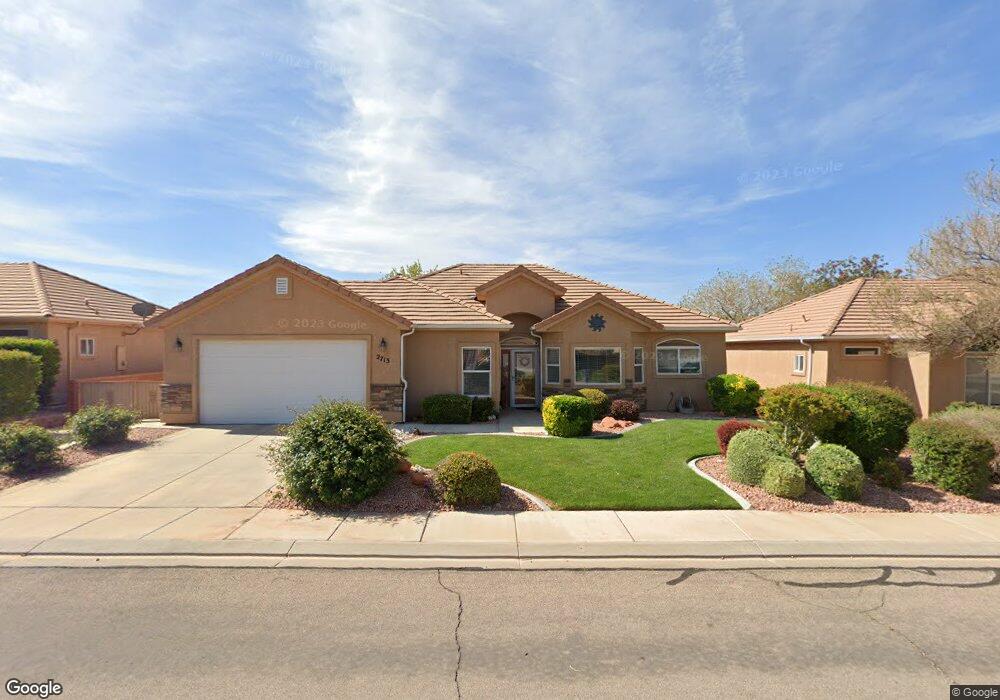
2713 W 570 N Hurricane, UT 84737
Estimated Value: $452,341 - $488,000
3
Beds
2
Baths
1,699
Sq Ft
$277/Sq Ft
Est. Value
About This Home
This home is located at 2713 W 570 N, Hurricane, UT 84737 and is currently estimated at $470,335, approximately $276 per square foot. 2713 W 570 N is a home located in Washington County with nearby schools including Hurricane Middle School, Hurricane Elementary School, and Hurricane High School.
Ownership History
Date
Name
Owned For
Owner Type
Purchase Details
Closed on
Dec 13, 2005
Sold by
Gemstone Homes Inc
Bought by
Mcdonnell Steven C and Mcdonnell Laura B
Current Estimated Value
Home Financials for this Owner
Home Financials are based on the most recent Mortgage that was taken out on this home.
Original Mortgage
$170,000
Outstanding Balance
$95,229
Interest Rate
6.31%
Mortgage Type
Purchase Money Mortgage
Estimated Equity
$375,106
Create a Home Valuation Report for This Property
The Home Valuation Report is an in-depth analysis detailing your home's value as well as a comparison with similar homes in the area
Home Values in the Area
Average Home Value in this Area
Purchase History
| Date | Buyer | Sale Price | Title Company |
|---|---|---|---|
| Mcdonnell Steven C | -- | Southern Utah Title Co | |
| Gemstone Homes Inc | -- | Southern Utah Title Co |
Source: Public Records
Mortgage History
| Date | Status | Borrower | Loan Amount |
|---|---|---|---|
| Open | Gemstone Homes Inc | $170,000 | |
| Closed | Mcdonnell Steven C | $170,000 |
Source: Public Records
Tax History Compared to Growth
Tax History
| Year | Tax Paid | Tax Assessment Tax Assessment Total Assessment is a certain percentage of the fair market value that is determined by local assessors to be the total taxable value of land and additions on the property. | Land | Improvement |
|---|---|---|---|---|
| 2025 | $1,793 | $240,955 | $59,400 | $181,555 |
| 2023 | $1,824 | $244,640 | $55,000 | $189,640 |
| 2022 | $1,859 | $233,860 | $52,250 | $181,610 |
| 2021 | $1,770 | $329,000 | $65,000 | $264,000 |
| 2020 | $1,602 | $278,300 | $50,000 | $228,300 |
| 2019 | $1,533 | $258,400 | $45,000 | $213,400 |
| 2018 | $1,515 | $131,340 | $0 | $0 |
| 2017 | $1,479 | $123,310 | $0 | $0 |
| 2016 | $1,441 | $116,380 | $0 | $0 |
| 2015 | $334 | $107,140 | $0 | $0 |
| 2014 | $322 | $108,570 | $0 | $0 |
Source: Public Records
Map
Nearby Homes
- 2698 W 510 N
- 2691 W 625 N Unit 4
- 2691 W 625 N Unit 2
- 2687 W 625 N Unit 2
- 2690 W 625 N
- 2681 W 625 N Unit 3
- 2688 W 625 N
- 2686 W 625 N
- 648 N 2740 W
- 2684 W 625 N
- 2747 W 410 N
- 2669 W 570 N
- Sierra Nevada Plan at Eagle Pointe At The Front Nine
- Kilauea Plan at Eagle Pointe At The Front Nine
- Olympic 2 Plan at Eagle Pointe At The Front Nine
- Kenai Plan at Eagle Pointe At The Front Nine
- Mauna Loa 2 Plan at Eagle Pointe At The Front Nine
- Kilauea 2 Plan at Eagle Pointe At The Front Nine
- Pine Valley Plan at Eagle Pointe At The Front Nine
- Timpanogos Plan at Eagle Pointe At The Front Nine