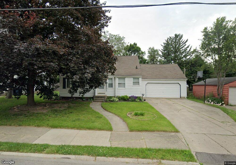
2714 Coventry Ct Flint, MI 48503
Glendale NeighborhoodEstimated Value: $60,000 - $105,000
2
Beds
1
Bath
1,064
Sq Ft
$79/Sq Ft
Est. Value
About This Home
This home is located at 2714 Coventry Ct, Flint, MI 48503 and is currently estimated at $84,274, approximately $79 per square foot. 2714 Coventry Ct is a home located in Genesee County with nearby schools including Durant-Tuuri-Mott Elementary School, St. Paul Lutheran School, and St John Vianney Catholic School.
Ownership History
Date
Name
Owned For
Owner Type
Purchase Details
Closed on
Mar 25, 2025
Sold by
Coburn Gladys Marie
Bought by
Coburn Gladys Marie and Duffie Danielle M
Current Estimated Value
Purchase Details
Closed on
Aug 15, 2014
Sold by
Dort Federal Credit Union
Bought by
Coburn Gladys M
Purchase Details
Closed on
Feb 26, 2014
Sold by
Mitru Perry
Bought by
Dort Federal Credit Union
Create a Home Valuation Report for This Property
The Home Valuation Report is an in-depth analysis detailing your home's value as well as a comparison with similar homes in the area
Home Values in the Area
Average Home Value in this Area
Purchase History
| Date | Buyer | Sale Price | Title Company |
|---|---|---|---|
| Coburn Gladys Marie | -- | None Listed On Document | |
| Coburn Gladys M | $32,000 | Greco Title Agency Llc | |
| Dort Federal Credit Union | $45,000 | None Available |
Source: Public Records
Tax History
| Year | Tax Paid | Tax Assessment Tax Assessment Total Assessment is a certain percentage of the fair market value that is determined by local assessors to be the total taxable value of land and additions on the property. | Land | Improvement |
|---|---|---|---|---|
| 2025 | $1,356 | $40,600 | $0 | $0 |
| 2024 | $1,216 | $37,500 | $0 | $0 |
| 2023 | $1,187 | $34,100 | $0 | $0 |
| 2022 | $0 | $27,000 | $0 | $0 |
| 2021 | $1,242 | $27,400 | $0 | $0 |
| 2020 | $1,107 | $23,100 | $0 | $0 |
| 2019 | $1,071 | $17,400 | $0 | $0 |
| 2018 | $1,101 | $18,900 | $0 | $0 |
| 2017 | $1,068 | $0 | $0 | $0 |
| 2016 | $1,060 | $0 | $0 | $0 |
| 2015 | -- | $0 | $0 | $0 |
| 2014 | -- | $0 | $0 | $0 |
| 2012 | -- | $20,400 | $0 | $0 |
Source: Public Records
Map
Nearby Homes
- 2710 Mansfield Ave
- 2663 W Court St
- 3405 Sherwood Dr
- 3320 Pencombe Place
- 911 Hughes Ave
- 932 Bradley Ave
- 320 Sheffield Ave
- 314 Sheffield Ave
- 3302 Van Buren Ave
- 3517 Norwood Dr
- 3617 Sherwood Dr
- 916 Mann Ave
- 0000 Beecher Rd
- 2464 Gibson St
- 2437 Zimmerman St
- 3709 Brentwood Dr
- 960 Mann Ave
- 2805 Reynolds St
- 825 Frank St
- 1017 Stocker Ave
- 2718 Coventry Ct
- 612 Bradley Ave
- 2725 Crestwood Dr
- 2717 Crestwood Dr
- 2722 Coventry Ct
- 2729 Crestwood Dr
- 2707 Coventry Ct
- 2715 Coventry Ct
- 2701 Crestwood Dr
- 2730 Coventry Ct
- 2721 Coventry Ct
- 2733 Crestwood Dr
- 2727 Coventry Ct
- 2737 Crestwood Dr
- 2702 Mansfield Ave
- 3202 Brentwood Dr
- 621 Bradley Ave
- 617 Bradley Ave
- 613 Bradley Ave
- 2714 Mansfield Ave
Your Personal Tour Guide
Ask me questions while you tour the home.