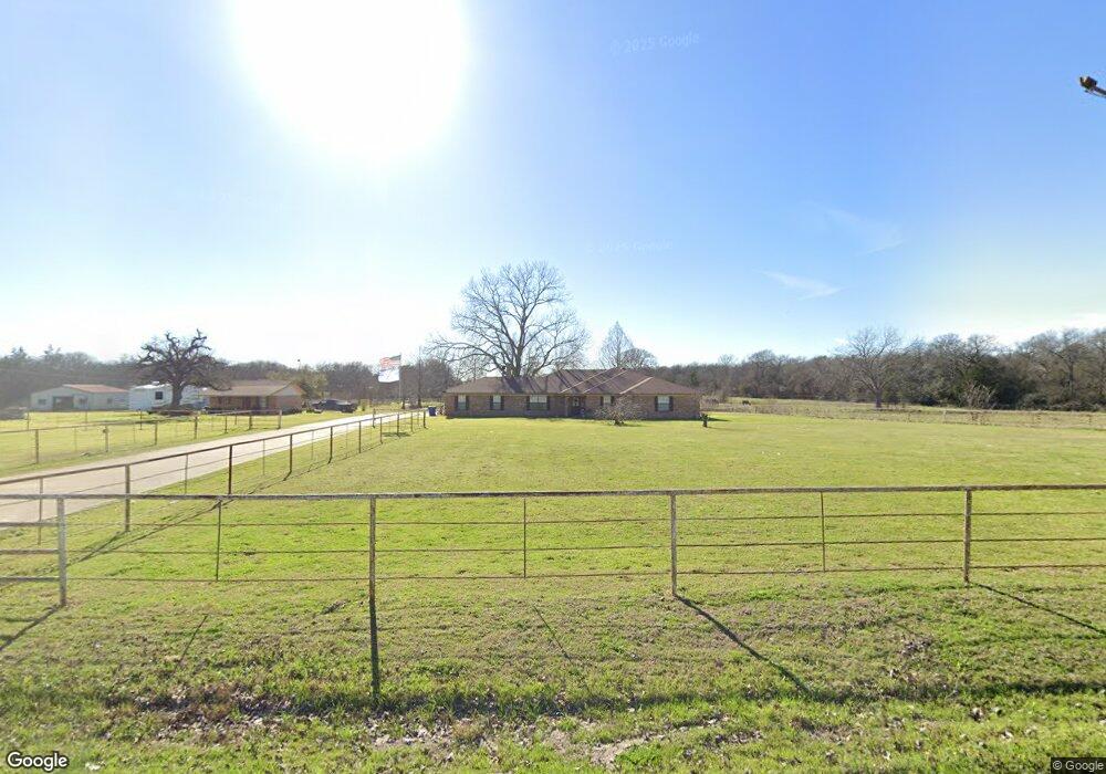
2714 Liberty Dr Corsicana, TX 75110
Estimated Value: $511,731 - $604,000
3
Beds
2
Baths
3,118
Sq Ft
$175/Sq Ft
Est. Value
About This Home
This home is located at 2714 Liberty Dr, Corsicana, TX 75110 and is currently estimated at $546,910, approximately $175 per square foot. 2714 Liberty Dr is a home located in Navarro County with nearby schools including Corsicana High School.
Ownership History
Date
Name
Owned For
Owner Type
Purchase Details
Closed on
Oct 16, 2015
Sold by
Hatfield Lenard J and Hatfield Connie L
Bought by
Evans William Lawrence and Evans Ronda L
Current Estimated Value
Home Financials for this Owner
Home Financials are based on the most recent Mortgage that was taken out on this home.
Original Mortgage
$255,375
Outstanding Balance
$200,717
Interest Rate
3.93%
Mortgage Type
VA
Estimated Equity
$346,193
Purchase Details
Closed on
Sep 20, 2005
Sold by
Petty Danny and Petty Christie
Bought by
Conger Patty Cunningham and Conger William G
Home Financials for this Owner
Home Financials are based on the most recent Mortgage that was taken out on this home.
Original Mortgage
$154,000
Interest Rate
5.73%
Mortgage Type
Purchase Money Mortgage
Create a Home Valuation Report for This Property
The Home Valuation Report is an in-depth analysis detailing your home's value as well as a comparison with similar homes in the area
Home Values in the Area
Average Home Value in this Area
Purchase History
| Date | Buyer | Sale Price | Title Company |
|---|---|---|---|
| Evans William Lawrence | -- | None Available | |
| Conger Patty Cunningham | -- | None Available |
Source: Public Records
Mortgage History
| Date | Status | Borrower | Loan Amount |
|---|---|---|---|
| Open | Evans William Lawrence | $255,375 | |
| Previous Owner | Conger Patty Cunningham | $154,000 |
Source: Public Records
Tax History Compared to Growth
Tax History
| Year | Tax Paid | Tax Assessment Tax Assessment Total Assessment is a certain percentage of the fair market value that is determined by local assessors to be the total taxable value of land and additions on the property. | Land | Improvement |
|---|---|---|---|---|
| 2025 | $7,760 | $636,383 | $0 | $0 |
| 2024 | $5,585 | $462,018 | $0 | $0 |
| 2023 | $4,384 | $422,613 | $0 | $0 |
| 2022 | $5,917 | $331,230 | $0 | $0 |
| 2021 | $5,877 | $0 | $0 | $0 |
| 2020 | $5,993 | $0 | $0 | $0 |
| 2019 | $6,038 | $0 | $0 | $0 |
| 2018 | $5,974 | $0 | $0 | $0 |
| 2017 | $5,565 | $0 | $0 | $0 |
| 2016 | $4,998 | $0 | $0 | $0 |
| 2015 | -- | $0 | $0 | $0 |
| 2014 | -- | $0 | $0 | $0 |
Source: Public Records
Map
Nearby Homes
- 5521 Monte Carlo St
- Tract 129C Hwy 31 Bypass
- Lot 3-2 Hwy 31 Bypass
- TBD US Hwy 287
- 1010 Oak Valley Ln
- 1031 Liberty Dr
- 114 Trailridge Dr
- 4329 W Park Row Blvd Unit 46A
- 3917 Skyhawk Ave
- 9999 S 45th St
- 308 Seminole St
- 304 Seminole St
- 404 Seratoga St
- 328 Seratoga St
- 205 Seratoga St
- TBD County Road 2004
- 3227 NW County Road 2004
- 3848 Skylane Ave
- 3808 Pilatus Ave
- 3725 Pilatus Ave
- 5530 Payne St
- 5520 Payne St
- 5504 Payne St
- 5456 Payne St
- 118 Waters Edge
- 121 Waters Edge
- 5418 Monte Carlo St
- 0000 Payne St
- 5450 Payne St
- 101 Waters Edge
- 132 Waters Edge
- 2700 Liberty Dr
- 101 Water Oak Ln
- 109 Shumard Oak Ln
- 111 Shumard Oak Ln
- 5449 Payne St
- 163 Shumard Oak Ln
- 2801 Liberty Dr
- 1147 Red Oak Ln
- 2100 Liberty Dr