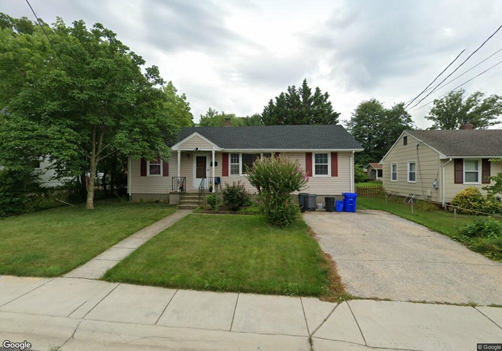
2714 Newton St Silver Spring, MD 20902
Estimated Value: $437,000 - $493,000
Studio
2
Baths
1,056
Sq Ft
$448/Sq Ft
Est. Value
About This Home
This home is located at 2714 Newton St, Silver Spring, MD 20902 and is currently estimated at $473,531, approximately $448 per square foot. 2714 Newton St is a home located in Montgomery County with nearby schools including Arcola Elementary School, Odessa Shannon Middle School, and Northwood High School.
Ownership History
Date
Name
Owned For
Owner Type
Purchase Details
Closed on
Aug 20, 2004
Sold by
Ehrlich Richard S
Bought by
Berrios Neftali
Current Estimated Value
Purchase Details
Closed on
Jun 11, 2001
Sold by
Love Brian S
Bought by
Ehrlich Richard S
Purchase Details
Closed on
Jul 9, 1999
Sold by
Lutz Terry L and Lutz M J
Bought by
Love Brian S
Create a Home Valuation Report for This Property
The Home Valuation Report is an in-depth analysis detailing your home's value as well as a comparison with similar homes in the area
Home Values in the Area
Average Home Value in this Area
Purchase History
| Date | Buyer | Sale Price | Title Company |
|---|---|---|---|
| Berrios Neftali | $305,000 | -- | |
| Ehrlich Richard S | $173,500 | -- | |
| Love Brian S | $150,000 | -- |
Source: Public Records
Tax History
| Year | Tax Paid | Tax Assessment Tax Assessment Total Assessment is a certain percentage of the fair market value that is determined by local assessors to be the total taxable value of land and additions on the property. | Land | Improvement |
|---|---|---|---|---|
| 2025 | $5,476 | $438,000 | $172,400 | $265,600 |
| 2024 | $5,476 | $412,133 | $0 | $0 |
| 2023 | $4,462 | $386,267 | $0 | $0 |
| 2022 | $3,938 | $360,400 | $172,400 | $188,000 |
| 2021 | $3,497 | $344,967 | $0 | $0 |
| 2020 | $3,497 | $329,533 | $0 | $0 |
| 2019 | $3,292 | $314,100 | $157,700 | $156,400 |
| 2018 | $3,171 | $305,400 | $0 | $0 |
| 2017 | $3,123 | $296,700 | $0 | $0 |
| 2016 | $1,191 | $288,000 | $0 | $0 |
| 2015 | $1,191 | $282,300 | $0 | $0 |
| 2014 | $1,191 | $276,600 | $0 | $0 |
Source: Public Records
Map
Nearby Homes
- 2715 Randolph Rd
- 2510 Weisman Rd
- 2816 Harris Ave
- 2305 Greenery Ln Unit 1023
- 3027 Medway St
- 2511 Auden Dr
- 3007 Medway St
- 2202 Greenery Ln Unit 301
- 2200 Greenery Ln Unit 101
- 135 Klee Aly
- 2301 Greenery Ln Unit 103
- 3405 Fredale St
- 12106 Bluhill Rd
- 12220 Centerhill St
- 2373 Wyeth St
- 12816 Valleywood Dr
- 3410 Embry St
- 3409 Janet Rd
- 2603 Arcola Ave
- 11902 Bernard Dr
Your Personal Tour Guide
Ask me questions while you tour the home.