2714 Paul Quinn St Houston, TX 77091
Acres Homes NeighborhoodEstimated Value: $481,000 - $635,000
--
Bed
--
Bath
--
Sq Ft
0.99
Acres
About This Home
This home is located at 2714 Paul Quinn St, Houston, TX 77091 and is currently estimated at $558,000. 2714 Paul Quinn St is a home located in Harris County with nearby schools including Frank Black Middle School, Scarborough High School, and Brazos School For Inquiry And Crea.
Ownership History
Date
Name
Owned For
Owner Type
Purchase Details
Closed on
Jul 26, 2024
Sold by
Toledo Roberto
Bought by
Sandin Carl O
Current Estimated Value
Purchase Details
Closed on
Nov 1, 2019
Sold by
Toledo Pamela
Bought by
Toledo Robert
Purchase Details
Closed on
Apr 14, 2015
Sold by
Parrish Doris and Norton Dee Metria Parrish
Bought by
Toledo Pamela
Purchase Details
Closed on
Feb 28, 2015
Sold by
Thomas Mary Ann
Bought by
Parrish Doris
Create a Home Valuation Report for This Property
The Home Valuation Report is an in-depth analysis detailing your home's value as well as a comparison with similar homes in the area
Home Values in the Area
Average Home Value in this Area
Purchase History
| Date | Buyer | Sale Price | Title Company |
|---|---|---|---|
| Sandin Carl O | -- | First American Title | |
| Toledo Robert | -- | None Available | |
| Toledo Pamela | -- | None Available | |
| Parrish Doris | -- | None Available |
Source: Public Records
Tax History Compared to Growth
Tax History
| Year | Tax Paid | Tax Assessment Tax Assessment Total Assessment is a certain percentage of the fair market value that is determined by local assessors to be the total taxable value of land and additions on the property. | Land | Improvement |
|---|---|---|---|---|
| 2025 | $7,940 | -- | -- | -- |
| 2024 | $7,940 | $379,473 | $379,473 | -- |
| 2023 | $7,646 | $379,473 | $379,473 | $0 |
| 2022 | $6,443 | $292,591 | $292,591 | $0 |
| 2021 | $5,161 | $221,421 | $221,421 | $0 |
| 2020 | $3,447 | $142,342 | $142,342 | $0 |
| 2019 | $2,881 | $113,873 | $113,873 | $0 |
| 2018 | $2,401 | $94,895 | $94,895 | $0 |
| 2017 | $2,000 | $79,079 | $79,079 | $0 |
| 2016 | $2,000 | $79,079 | $79,079 | $0 |
| 2015 | $813 | $63,263 | $63,263 | $0 |
| 2014 | $813 | $31,632 | $31,632 | $0 |
Source: Public Records
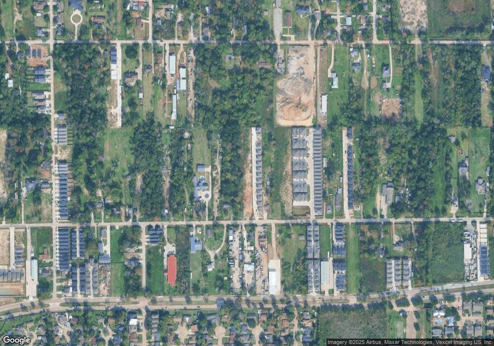
Map
Nearby Homes
- 2632 Paul Quinn
- 2631 Mansfield St
- 2602 Paul Quinn St
- 2599 Paul Quinn St
- 2595 Paul Quinn St
- 2589 Paul Quinn St
- 2587 Paul Quinn St
- 2581 Paul Quinn St
- 2583 Paul Quinn St
- 2593 Paul Quinn St
- 2591 Paul Quinn St
- 5616 Bertellis Ln
- 2598 W Tidwell Rd
- 2592 W Tidwell Rd
- 5811 Outer Banks St
- 2582 W Tidwell Rd
- 2504 W Tidwell Rd Unit C
- 2504 W Tidwell Rd Unit F
- 5823 Outer Banks St
- 5819 Outer Banks St
- 5721 Elysian St
- 5715 Elysian St
- 5723 Elysian St
- 5725 Elysian St
- 5711 Elysian St
- 5727 Elysian St
- 5707 Elysian St
- 2710 Paul Quinn St
- 5705 Elysian St
- 5729 Elysian St
- 2728 Paul Quinn St
- 5703 Elysian St
- 2706 Paul Quinn St
- 5731 Elysian St
- 2806 Paul Quinn St
- 2610 James Madison Way
- 2702 Paul Quinn St
- 2611 Turner Quinn Way
- 2628 Paul Quinn St
- 2628 Paul Quinn St Unit A