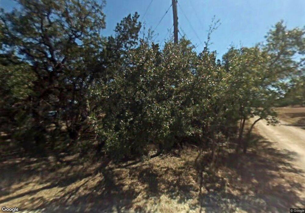
27141 Interstate 10 W Boerne, TX 78006
Scenic Oaks NeighborhoodEstimated Value: $972,000
2
Beds
1
Bath
960
Sq Ft
$1,012/Sq Ft
Est. Value
About This Home
This home is located at 27141 Interstate 10 W, Boerne, TX 78006 and is currently priced at $972,000, approximately $1,012 per square foot. 27141 Interstate 10 W is a home located in Bexar County with nearby schools including Aue Elementary School, Rawlinson Middle School, and Clark High School.
Ownership History
Date
Name
Owned For
Owner Type
Purchase Details
Closed on
Dec 31, 2009
Sold by
Holt Texas Properties Inc
Bought by
Holt Texas Ltd
Current Estimated Value
Purchase Details
Closed on
Jun 3, 2008
Sold by
Lundberg Curt and Lundberg Lynn A
Bought by
Holt Texas Properties Inc
Purchase Details
Closed on
Jul 5, 2006
Sold by
Eat 2005-012 Llc
Bought by
Lundberg Curt and Lundberg Lynn A
Purchase Details
Closed on
May 2, 2006
Sold by
Goldsbury Cara L and Estate Of Paul A Gensweider
Bought by
Eat 2006-012 Llc
Home Financials for this Owner
Home Financials are based on the most recent Mortgage that was taken out on this home.
Original Mortgage
$391,200
Interest Rate
6.32%
Mortgage Type
Purchase Money Mortgage
Create a Home Valuation Report for This Property
The Home Valuation Report is an in-depth analysis detailing your home's value as well as a comparison with similar homes in the area
Home Values in the Area
Average Home Value in this Area
Purchase History
| Date | Buyer | Sale Price | Title Company |
|---|---|---|---|
| Holt Texas Ltd | -- | None Available | |
| Holt Texas Properties Inc | -- | Chicago Title | |
| Lundberg Curt | -- | None Available | |
| Eat 2006-012 Llc | -- | Ameripoint Title San Antonio |
Source: Public Records
Mortgage History
| Date | Status | Borrower | Loan Amount |
|---|---|---|---|
| Previous Owner | Eat 2006-012 Llc | $391,200 |
Source: Public Records
Tax History Compared to Growth
Tax History
| Year | Tax Paid | Tax Assessment Tax Assessment Total Assessment is a certain percentage of the fair market value that is determined by local assessors to be the total taxable value of land and additions on the property. | Land | Improvement |
|---|---|---|---|---|
| 2020 | $8,244 | $767,860 | $766,860 | $1,000 |
| 2019 | -- | $760,040 | $759,040 | $1,000 |
| 2018 | -- | $739,170 | $738,170 | $1,000 |
| 2017 | -- | $705,260 | $704,260 | $1,000 |
| 2016 | -- | $645,270 | $644,270 | $1,000 |
| 2015 | -- | $594,410 | $593,410 | $1,000 |
| 2014 | -- | $529,200 | $0 | $0 |
Source: Public Records
Map
Nearby Homes
- 8519 Nichols Tree
- 8715 Buckskin Dr
- 8311 Narcissus Path
- 27314 Dana Creek Dr
- 8526 Nichols Rim
- 27619 Nichols Pass
- 26815 Tulip Meadow
- 27403 Falls Bridge
- 8510 Nichols Rim
- 27013 Camellia Trace
- 8206 Claret Cup Way
- 8618 Indian Hills Ln
- 26910 Oleander Chase
- 26919 Camellia Trace
- LOT 204 Fire Dance
- 8139 Mystic Chase
- 8612 Flint Rock Dr
- 8355 Reunion Oak
- 8219 Mystic Chase
- 26515 Fire Dance
- 27075 Misty Grove
- 27035 Misty Grove
- 27118 Hidden Trail
- 8830 Canyon Crest Dr
- 8827 Canyon Crest Dr
- 8710 Fox Briar Ln
- 26985 Interstate 10 W
- 27119 Hidden Trail
- 8826 Canyon Crescent
- 26765 Orchid Trail
- 8824 Fox Briar Ln
- 8527 Nichols Rain
- 10013 Canyon Crest Dr
- 8821 Canyon Crest
- 8821 Canyon Crest Dr
- 27106 Hidden Trail
- 8526 Nichols Tree
- 8524 Nichols Rain
- 8543 Nichols Tree
- 8543 Nichols Stone
