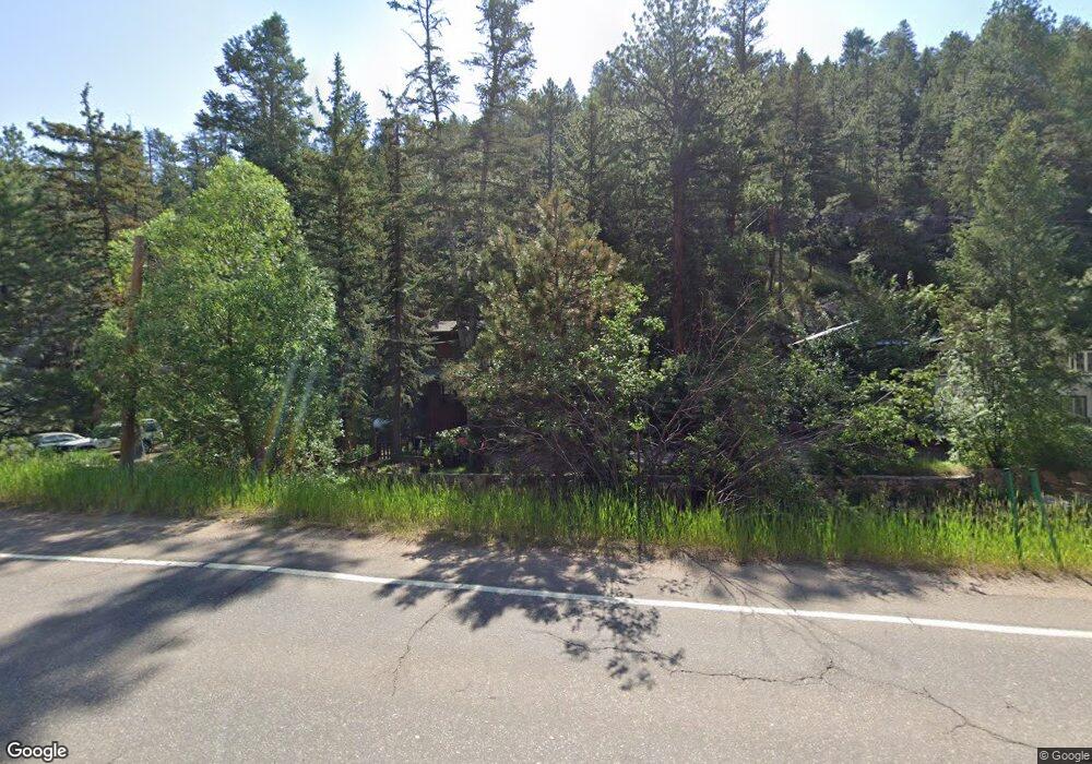
27144 Highway 74 Evergreen, CO 80439
Estimated Value: $519,000 - $659,000
3
Beds
3
Baths
1,196
Sq Ft
$495/Sq Ft
Est. Value
About This Home
This home is located at 27144 Highway 74, Evergreen, CO 80439 and is currently estimated at $592,407, approximately $495 per square foot. 27144 Highway 74 is a home located in Jefferson County with nearby schools including Parmalee Elementary School, Evergreen Middle School, and Evergreen High School.
Ownership History
Date
Name
Owned For
Owner Type
Purchase Details
Closed on
Sep 28, 2001
Sold by
Wysocki Margaret M and Bailey John T
Bought by
Tully Anne B
Current Estimated Value
Home Financials for this Owner
Home Financials are based on the most recent Mortgage that was taken out on this home.
Original Mortgage
$141,900
Outstanding Balance
$55,504
Interest Rate
6.88%
Estimated Equity
$536,903
Purchase Details
Closed on
Jul 12, 1995
Sold by
Halfmann Lee R
Bought by
Wysocki Margaret M and Bailey John T
Purchase Details
Closed on
Jun 29, 1994
Sold by
Halfmann Lee R
Bought by
Wysocki Margaret M and Bailey John T
Home Financials for this Owner
Home Financials are based on the most recent Mortgage that was taken out on this home.
Original Mortgage
$89,900
Interest Rate
8.47%
Create a Home Valuation Report for This Property
The Home Valuation Report is an in-depth analysis detailing your home's value as well as a comparison with similar homes in the area
Home Values in the Area
Average Home Value in this Area
Purchase History
| Date | Buyer | Sale Price | Title Company |
|---|---|---|---|
| Tully Anne B | $177,400 | Empire Title & Escrow | |
| Wysocki Margaret M | -- | Land Title Guarantee Company | |
| Wysocki Margaret M | $124,900 | Land Title |
Source: Public Records
Mortgage History
| Date | Status | Borrower | Loan Amount |
|---|---|---|---|
| Open | Tully Anne B | $141,900 | |
| Previous Owner | Wysocki Margaret M | $89,900 |
Source: Public Records
Tax History Compared to Growth
Tax History
| Year | Tax Paid | Tax Assessment Tax Assessment Total Assessment is a certain percentage of the fair market value that is determined by local assessors to be the total taxable value of land and additions on the property. | Land | Improvement |
|---|---|---|---|---|
| 2024 | $2,480 | $25,806 | $8,239 | $17,567 |
| 2023 | $2,480 | $25,806 | $8,239 | $17,567 |
| 2022 | $2,184 | $22,049 | $6,726 | $15,323 |
| 2021 | $2,205 | $22,684 | $6,920 | $15,764 |
| 2020 | $2,013 | $20,563 | $6,198 | $14,365 |
| 2019 | $1,986 | $20,563 | $6,198 | $14,365 |
| 2018 | $1,622 | $16,268 | $4,858 | $11,410 |
| 2017 | $1,483 | $16,268 | $4,858 | $11,410 |
| 2016 | $1,187 | $12,207 | $5,672 | $6,535 |
| 2015 | $928 | $12,207 | $5,672 | $6,535 |
| 2014 | $928 | $9,268 | $4,866 | $4,402 |
Source: Public Records
Map
Nearby Homes
- 27154 Highway 74
- 26600 Mowbray Ct
- 27124 Sun Ridge Dr
- 26238 S End Rd
- 3425 Burnham Dr
- 26197 S End Rd Unit A
- 26214 Seitz Rd
- 3384 Avenue F
- 3429 Avenue D
- 3192 Gold Yarrow Ln
- 3191 Bittersweet Ln
- 3144 Snow Trillium Way
- 27873 Meadow View Dr
- 27579 Fireweed Dr
- 28094 Harebell Ln
- 3876 Ridge Rd
- 4464 Forest Trail
- 4198 Timbervale Dr
- 27901 Pine Dr
- 2414 Legacy Ranch Rd
- 27140 Highway 74
- 27150 Colorado 74
- 27154 Colorado 74
- 26468 S End Rd
- 27160 Highway 74
- 27134 Highway 74
- 26497 S End Rd
- 26495 S End Rd
- 3475 Independence Trail
- 26490 Mowbray Ct Unit B
- 26490 Mowbray Ct
- 26490 Mowbray Ct Unit A
- 3562 Independence Trail
- 27164 Highway 74
- 26480 Mowbray Ct
- 26470 Mowbray Ct
- 0 Colorado 74
- 26450 Mowbray Ct
- 26458 S End Rd
- 26489 Mowbray Ct
