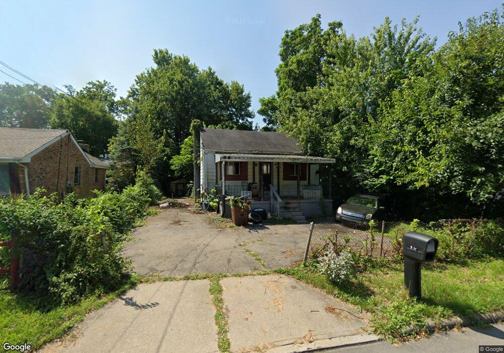
2715 Wilson Ave Cincinnati, OH 45231
Mount Healthy Heights NeighborhoodEstimated Value: $91,000 - $178,000
2
Beds
1
Bath
576
Sq Ft
$214/Sq Ft
Est. Value
About This Home
This home is located at 2715 Wilson Ave, Cincinnati, OH 45231 and is currently estimated at $123,188, approximately $213 per square foot. 2715 Wilson Ave is a home located in Hamilton County with nearby schools including Pleasant Run Elementary School, Taylor Elementary School, and Pleasant Run Middle School.
Ownership History
Date
Name
Owned For
Owner Type
Purchase Details
Closed on
Aug 29, 2001
Sold by
Management Plus Estates
Bought by
Paras Properties Ltd
Current Estimated Value
Purchase Details
Closed on
Apr 28, 2000
Sold by
Management Plus Estates Inc
Bought by
Paras Properties Ltd
Home Financials for this Owner
Home Financials are based on the most recent Mortgage that was taken out on this home.
Original Mortgage
$20,000
Interest Rate
10%
Mortgage Type
Seller Take Back
Purchase Details
Closed on
Aug 11, 1995
Sold by
Ellis Dorothy J
Bought by
Management Plus Estates Inc
Purchase Details
Closed on
Aug 3, 1995
Sold by
Begley Penny
Bought by
Ellis Dorothy J
Create a Home Valuation Report for This Property
The Home Valuation Report is an in-depth analysis detailing your home's value as well as a comparison with similar homes in the area
Home Values in the Area
Average Home Value in this Area
Purchase History
| Date | Buyer | Sale Price | Title Company |
|---|---|---|---|
| Paras Properties Ltd | $25,000 | -- | |
| Paras Properties Ltd | $25,000 | -- | |
| Management Plus Estates Inc | -- | -- | |
| Ellis Dorothy J | -- | -- |
Source: Public Records
Mortgage History
| Date | Status | Borrower | Loan Amount |
|---|---|---|---|
| Previous Owner | Paras Properties Ltd | $20,000 |
Source: Public Records
Tax History
| Year | Tax Paid | Tax Assessment Tax Assessment Total Assessment is a certain percentage of the fair market value that is determined by local assessors to be the total taxable value of land and additions on the property. | Land | Improvement |
|---|---|---|---|---|
| 2025 | $1,197 | $20,199 | $6,458 | $13,741 |
| 2024 | $1,140 | $20,199 | $6,458 | $13,741 |
| 2023 | $1,127 | $20,199 | $6,458 | $13,741 |
| 2022 | $1,015 | $14,876 | $5,695 | $9,181 |
| 2021 | $1,025 | $14,876 | $5,695 | $9,181 |
| 2020 | $1,013 | $14,876 | $5,695 | $9,181 |
| 2019 | $880 | $11,995 | $4,592 | $7,403 |
| 2018 | $793 | $11,995 | $4,592 | $7,403 |
| 2017 | $762 | $11,995 | $4,592 | $7,403 |
| 2016 | $785 | $12,072 | $4,634 | $7,438 |
| 2015 | $782 | $12,072 | $4,634 | $7,438 |
| 2014 | $784 | $12,072 | $4,634 | $7,438 |
| 2013 | $787 | $12,709 | $4,879 | $7,830 |
Source: Public Records
Map
Nearby Homes
- 10918 Newmarket Dr
- 2659 Roosevelt Ave
- 2776 Klondike Ct
- 2540 Wilson Ave
- 10945 Penarth Dr
- 2508 Wilson Ave
- 2342 Washington Ave
- 2617 Chesterhill Dr
- 10877 Birchridge Dr
- 10474 Gloria Ave
- 2192 Pinney Ln
- 10897 Sprucehill Dr
- 10528 Pottinger Rd
- 2071 Roosevelt Ave
- 10372 Pippin Ln
- 10366 Pippin Ln
- 1958 Bluehill Dr
- 2456 Fulbourne Dr
- 2585 Fulbourne Dr
- 1931 Lotushill Dr
- 2735 Wilson Ave
- 2709 Wilson Ave
- 10928 Pippin Rd
- 2716 Grant Ave
- 2702 Grant Ave
- 10920 Pippin Rd
- 2698 Wilson Ave
- 2675 Wilson Ave
- 2686 Grant Ave
- 2763 Wilson Ave
- 2719 Grant Ave
- 2676 Wilson Ave
- 10925 Pippin Rd
- 2679 Wilson Ave
- 2709 Grant Ave
- 2771 Grant Ave
- 10955 Pippin Rd
- 2670 Grant Ave
- 10917 Pippin Rd
- 2683 Grant Ave
Your Personal Tour Guide
Ask me questions while you tour the home.