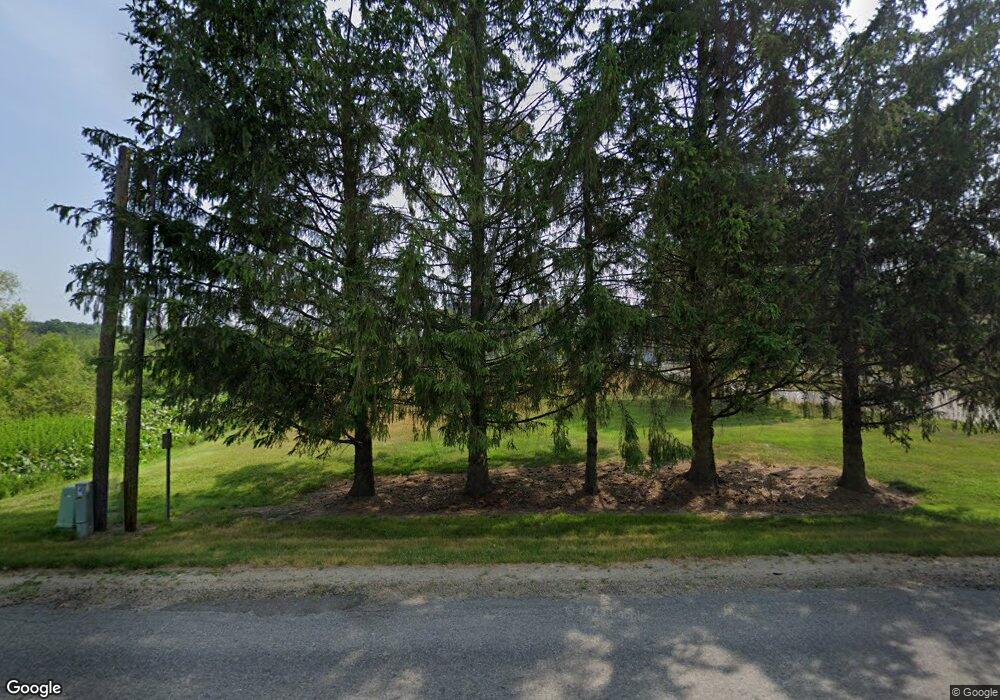
27152 Banker St Sturgis, MI 49091
Estimated Value: $174,000 - $263,000
--
Bed
--
Bath
--
Sq Ft
80.14
Acres
About This Home
This home is located at 27152 Banker St, Sturgis, MI 49091 and is currently estimated at $218,500. 27152 Banker St is a home located in St. Joseph County with nearby schools including Sturgis High School and Lake Area Christian School.
Ownership History
Date
Name
Owned For
Owner Type
Purchase Details
Closed on
Jul 15, 2008
Sold by
Zarza Steven James and Zarza Jean Ann
Bought by
Manowe Ministries Inc
Current Estimated Value
Home Financials for this Owner
Home Financials are based on the most recent Mortgage that was taken out on this home.
Original Mortgage
$290,000
Interest Rate
6.54%
Mortgage Type
Purchase Money Mortgage
Purchase Details
Closed on
Jan 12, 2007
Sold by
Zarza Steven James and Zarza Jean Ann
Bought by
Manowe Ministries Inc
Home Financials for this Owner
Home Financials are based on the most recent Mortgage that was taken out on this home.
Original Mortgage
$180,000
Interest Rate
4.97%
Mortgage Type
Seller Take Back
Purchase Details
Closed on
Jan 1, 1901
Create a Home Valuation Report for This Property
The Home Valuation Report is an in-depth analysis detailing your home's value as well as a comparison with similar homes in the area
Home Values in the Area
Average Home Value in this Area
Purchase History
| Date | Buyer | Sale Price | Title Company |
|---|---|---|---|
| Manowe Ministries Inc | $230,000 | Patrick Abstract | |
| Manowe Ministries Inc | $230,000 | None Available | |
| -- | -- | -- |
Source: Public Records
Mortgage History
| Date | Status | Borrower | Loan Amount |
|---|---|---|---|
| Previous Owner | Manowe Ministries Inc | $290,000 | |
| Previous Owner | Manowe Ministries Inc | $180,000 |
Source: Public Records
Tax History Compared to Growth
Tax History
| Year | Tax Paid | Tax Assessment Tax Assessment Total Assessment is a certain percentage of the fair market value that is determined by local assessors to be the total taxable value of land and additions on the property. | Land | Improvement |
|---|---|---|---|---|
| 2025 | $299 | $117,900 | $117,900 | $0 |
| 2024 | $102 | $113,500 | $113,500 | $0 |
| 2023 | $97 | $96,100 | $96,100 | $0 |
| 2022 | $0 | $54,800 | $54,800 | $0 |
| 2021 | $174 | $51,200 | $51,200 | $0 |
| 2020 | $89 | $50,400 | $50,400 | $0 |
| 2019 | $87 | $50,400 | $50,400 | $0 |
| 2018 | $251 | $50,400 | $50,400 | $0 |
| 2017 | $227 | $50,400 | $50,400 | $0 |
| 2016 | -- | $50,400 | $50,400 | $0 |
| 2015 | -- | $43,000 | $43,000 | $0 |
| 2014 | -- | $49,400 | $49,400 | $0 |
| 2012 | -- | $46,000 | $46,000 | $0 |
Source: Public Records
Map
Nearby Homes
- 0 V L M66- 102+ - Unit 24045986
- 28195 Blackberry Ln
- V/L White Pine Dr
- 27810 Maystead Rd
- V/L Banker St
- 66109 Hideaway Ln
- 66223 Grey Lake Rd
- 61704 Crystal Beach Dr
- 27304 Oak Dr
- 61436 Crystal Beach Dr
- 28123 Timberly Dr
- 61984 Bayshore Dr
- 0 Rainbow Dr
- 0 Wright Unit 25058230
- 0 Wright Unit 25058229
- 0 Wright Unit 25058231
- 3 Wright
- 708 N Centerville Rd
- 1100 Sherwood Forrest Trail
- 814 N Lakeview Ave
- 27152 Banker St
- 27152 Banker St
- 27231 Banker St
- 27231 Banker St
- 27160 Banker St
- 27231 Banker St
- 27195 Banker St
- 27195 Banker St
- 27210 Banker St
- 26899 N Shore Dr
- 26899 N Shore Dr
- 27083 N Shore Dr
- 26867 N Shore Dr
- 26867 N Shore Dr
- 27250 Banker Street Rd
- 27012 N Shore Dr
- 26831 N Shore Dr
- 26845 N Shore Dr
- 26845 N Shore Dr
- 26817 N Shore Dr