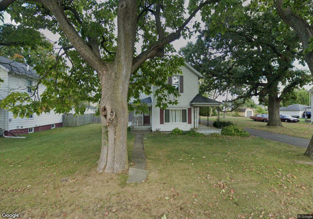
2716 Dwight Rd Unit 2718 Springfield, OH 45503
Estimated Value: $142,000 - $208,490
5
Beds
3
Baths
2,133
Sq Ft
$76/Sq Ft
Est. Value
About This Home
This home is located at 2716 Dwight Rd Unit 2718, Springfield, OH 45503 and is currently estimated at $163,123, approximately $76 per square foot. 2716 Dwight Rd Unit 2718 is a home located in Clark County with nearby schools including Warder Park-Wayne Elementary School, Schaefer Middle School, and Springfield High School.
Ownership History
Date
Name
Owned For
Owner Type
Purchase Details
Closed on
Feb 8, 2009
Sold by
Us Bank National Association
Bought by
Geis Kim
Current Estimated Value
Purchase Details
Closed on
Dec 16, 2008
Sold by
Current Shellie S
Bought by
Us Bank National Association
Purchase Details
Closed on
Mar 3, 2004
Sold by
Rodocker Larry J and Rodocker Janice M
Bought by
Current Randy L and Current Shellie S
Home Financials for this Owner
Home Financials are based on the most recent Mortgage that was taken out on this home.
Original Mortgage
$116,300
Interest Rate
5.77%
Mortgage Type
Purchase Money Mortgage
Purchase Details
Closed on
Jul 23, 1990
Create a Home Valuation Report for This Property
The Home Valuation Report is an in-depth analysis detailing your home's value as well as a comparison with similar homes in the area
Home Values in the Area
Average Home Value in this Area
Purchase History
| Date | Buyer | Sale Price | Title Company |
|---|---|---|---|
| Geis Kim | $48,000 | Chicago Title Insurance Co | |
| Us Bank National Association | $56,667 | Attorney | |
| Current Randy L | $119,900 | -- | |
| -- | $63,000 | -- |
Source: Public Records
Mortgage History
| Date | Status | Borrower | Loan Amount |
|---|---|---|---|
| Previous Owner | Current Randy L | $116,300 |
Source: Public Records
Tax History
| Year | Tax Paid | Tax Assessment Tax Assessment Total Assessment is a certain percentage of the fair market value that is determined by local assessors to be the total taxable value of land and additions on the property. | Land | Improvement |
|---|---|---|---|---|
| 2025 | $2,452 | $61,190 | $10,610 | $50,580 |
| 2024 | $2,390 | $47,800 | $8,820 | $38,980 |
| 2023 | $2,390 | $47,800 | $8,820 | $38,980 |
| 2022 | $2,446 | $47,800 | $8,820 | $38,980 |
| 2021 | $2,131 | $37,820 | $6,890 | $30,930 |
| 2020 | $2,135 | $37,820 | $6,890 | $30,930 |
| 2019 | $2,141 | $37,820 | $6,890 | $30,930 |
| 2018 | $1,947 | $32,840 | $5,170 | $27,670 |
| 2017 | $1,945 | $32,837 | $5,166 | $27,671 |
| 2016 | $1,948 | $32,837 | $5,166 | $27,671 |
| 2015 | $1,926 | $31,791 | $5,166 | $26,625 |
| 2014 | $1,918 | $31,791 | $5,166 | $26,625 |
| 2013 | $1,898 | $31,791 | $5,166 | $26,625 |
Source: Public Records
Map
Nearby Homes
- 907 Bellevue Ave
- 2226 Columbus Ave
- 2224-2226 Columbus Ave
- 2845 Columbus Ave Unit 5
- 2201 Woodside Ave
- 515 Bellevue Ave
- 419 Bellevue Ave
- 2210 Larch St
- 2124 Woodside Ave
- 207 Roseland Ave W
- 2111 Beatrice St
- 2023 Cleveland Ave
- 129 N Burnett Rd
- 1519 Edgewood Ave
- 2691 Tecumseh Ave
- 2020 Woodside Ave
- 743 N Belmont Ave
- 1830 Edwards Ave
- 2702 Maplewood Ave
- 115 S Burnett Rd
Your Personal Tour Guide
Ask me questions while you tour the home.