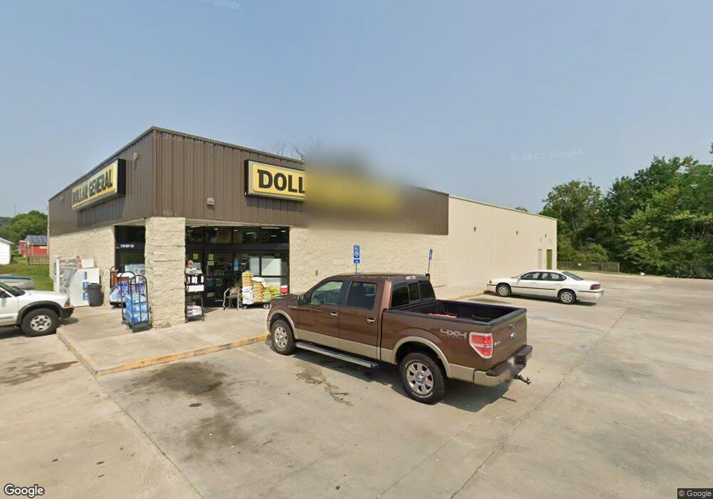
2716 Highway 100 Gray Summit, MO 63039
Estimated Value: $1,595,182
Studio
--
Bath
9,216
Sq Ft
$173/Sq Ft
Est. Value
About This Home
This home is located at 2716 Highway 100, Gray Summit, MO 63039 and is currently estimated at $1,595,182, approximately $173 per square foot. 2716 Highway 100 is a home located in Franklin County with nearby schools including Pacific High School and St Bridget Elementary School.
Ownership History
Date
Name
Owned For
Owner Type
Purchase Details
Closed on
Apr 20, 2020
Sold by
Mccann Family Farms Inc
Bought by
Postal Building & Leasing Co
Current Estimated Value
Home Financials for this Owner
Home Financials are based on the most recent Mortgage that was taken out on this home.
Original Mortgage
$3,545,000
Outstanding Balance
$3,145,530
Interest Rate
3.6%
Mortgage Type
Commercial
Estimated Equity
-$1,550,348
Purchase Details
Closed on
Jan 26, 2017
Sold by
Rsbr Investments Llc
Bought by
Mccann Family Farms Inc
Purchase Details
Closed on
Feb 5, 2016
Sold by
Labeaume William J and Labeaume Nicolina S
Bought by
Rsbr Investment Llc
Purchase Details
Closed on
Jun 15, 2015
Sold by
Franklin County Title Co Inc
Bought by
Labeaume William J and Labeaume Nicoline S
Purchase Details
Closed on
Jul 3, 2007
Sold by
Franklin County Title Co
Bought by
Labeaume William J and Labeaume Nicolina S
Purchase Details
Closed on
Mar 30, 2007
Sold by
First Baptist Church Of Gray Summit
Bought by
Franklin County Title
Create a Home Valuation Report for This Property
The Home Valuation Report is an in-depth analysis detailing your home's value as well as a comparison with similar homes in the area
Home Values in the Area
Average Home Value in this Area
Purchase History
| Date | Buyer | Sale Price | Title Company |
|---|---|---|---|
| Postal Building & Leasing Co | -- | None Available | |
| Mccann Family Farms Inc | -- | -- | |
| Rsbr Investment Llc | -- | -- | |
| Labeaume William J | -- | -- | |
| Labeaume William J | -- | None Available | |
| Franklin County Title | -- | None Available |
Source: Public Records
Mortgage History
| Date | Status | Borrower | Loan Amount |
|---|---|---|---|
| Open | Postal Building & Leasing Co | $3,545,000 |
Source: Public Records
Tax History
| Year | Tax Paid | Tax Assessment Tax Assessment Total Assessment is a certain percentage of the fair market value that is determined by local assessors to be the total taxable value of land and additions on the property. | Land | Improvement |
|---|---|---|---|---|
| 2025 | -- | $0 | $0 | $0 |
| 2023 | -- | $0 | $0 | $0 |
| 2022 | $0 | $0 | $0 | $0 |
| 2021 | $0 | $0 | $0 | $0 |
| 2020 | $0 | $0 | $0 | $0 |
| 2019 | $0 | $0 | $0 | $0 |
| 2018 | $0 | $0 | $0 | $0 |
| 2017 | $0 | $0 | $0 | $0 |
| 2016 | $169 | $0 | $0 | $0 |
| 2015 | $169 | $2,644 | $0 | $0 |
| 2014 | $167 | $2,644 | $0 | $0 |
Source: Public Records
Map
Nearby Homes
- 2 Summerfield at Parkview Common
- 2 St James at Parkview Commons
- 1668 Missouri Ave
- Lot 33 Meremac Ave
- 2 Aspen at Parkview Manors
- 2 Manors
- Lot 34 Meramec Ave
- 1654 Missouri Ave
- 2 Maple at Parkview Manors
- 2 Berwick at Parkview Manors
- 35, 36 Missouri Ave
- 2 Royal II at Parkview Manors
- 2 Sterling at Parkview Manors
- 2 Ashford at Parkview Manors
- 1464 Meramec Ave
- 1624 Missouri Ave
- 1003 Mitchell Way
- 409 Puetz Ln
- 410 Oak Dr
- 926 Wisdom Ln
- 2717 Highway 100
- 2730 Highway 100
- 2719 Highway 100
- 2721 Highway 100
- 2725 Highway 100
- 2694 Highway 100
- 349 Bradford St
- 2109 Pettus Rd
- 2693 Highway 100
- 354 Bradford St
- 343 Bradford St
- 2735 Highway 100
- 2739 Highway 100
- 2682 Highway 100
- 2747 Highway 100
- 488 Roberts St
- 494 Roberts St
- 3783 Highway Mm
- 2232 Pine Lake Loop
- 489 Roberts St
Your Personal Tour Guide
Ask me questions while you tour the home.