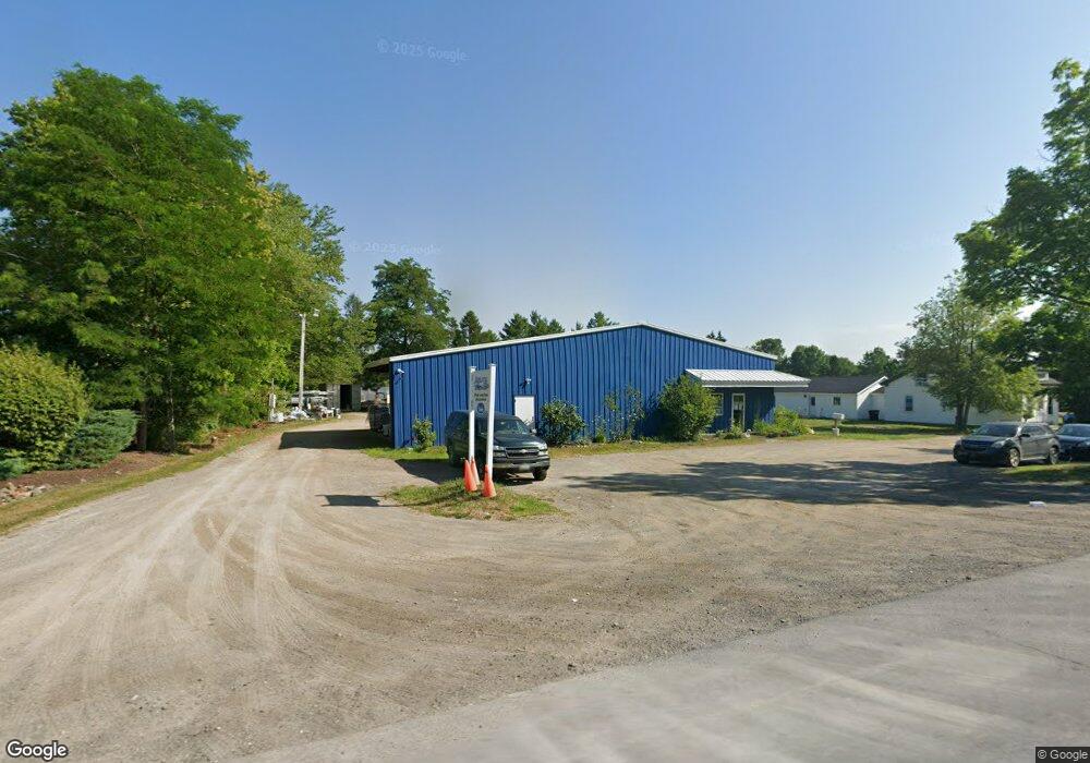
2717 Route 2 Hermon, ME 04401
Estimated Value: $532,000 - $612,000
2
Beds
1
Bath
1,865
Sq Ft
$305/Sq Ft
Est. Value
About This Home
This home is located at 2717 Route 2, Hermon, ME 04401 and is currently estimated at $567,938, approximately $304 per square foot. 2717 Route 2 is a home with nearby schools including Patricia A Duran School, Hermon Middle School, and Hermon High School.
Ownership History
Date
Name
Owned For
Owner Type
Purchase Details
Closed on
Jan 30, 2009
Sold by
Chokebore Llc
Bought by
Aquatic Development Inc
Current Estimated Value
Home Financials for this Owner
Home Financials are based on the most recent Mortgage that was taken out on this home.
Original Mortgage
$130,000
Outstanding Balance
$82,964
Interest Rate
5.28%
Mortgage Type
Unknown
Estimated Equity
$484,974
Purchase Details
Closed on
Sep 29, 2008
Sold by
Pioneer Capital Corp
Bought by
Chokebore Llc
Create a Home Valuation Report for This Property
The Home Valuation Report is an in-depth analysis detailing your home's value as well as a comparison with similar homes in the area
Home Values in the Area
Average Home Value in this Area
Purchase History
| Date | Buyer | Sale Price | Title Company |
|---|---|---|---|
| Aquatic Development Inc | -- | -- | |
| Chokebore Llc | $125,000 | -- |
Source: Public Records
Mortgage History
| Date | Status | Borrower | Loan Amount |
|---|---|---|---|
| Open | Chokebore Llc | $50,000 | |
| Open | Chokebore Llc | $130,000 |
Source: Public Records
Tax History Compared to Growth
Tax History
| Year | Tax Paid | Tax Assessment Tax Assessment Total Assessment is a certain percentage of the fair market value that is determined by local assessors to be the total taxable value of land and additions on the property. | Land | Improvement |
|---|---|---|---|---|
| 2024 | $5,690 | $522,000 | $89,600 | $432,400 |
| 2023 | $4,376 | $372,400 | $83,400 | $289,000 |
| 2022 | $3,935 | $330,700 | $74,200 | $256,500 |
| 2021 | $3,909 | $326,000 | $71,800 | $254,200 |
| 2020 | $3,868 | $322,600 | $70,100 | $252,500 |
| 2019 | $3,819 | $318,500 | $68,400 | $250,100 |
| 2018 | $3,695 | $318,500 | $68,400 | $250,100 |
| 2017 | $3,894 | $319,200 | $71,800 | $247,400 |
| 2016 | $3,748 | $312,300 | $69,200 | $243,100 |
| 2015 | $3,283 | $273,600 | $66,500 | $207,100 |
| 2014 | $3,223 | $268,557 | $66,500 | $202,057 |
Source: Public Records
Map
Nearby Homes
- 202 Orchard Dr
- 36 Munn Dr
- 22 Stoneybrook Way
- 555 Westwood Dr
- 41 Wendy Acres Dr
- Lot11 Boxwood
- 558 Blackstream Rd
- 7 Beech Ridge Dr
- 91 Wendy Acres Dr
- 148 Mountain View Dr
- 204 Edenfield Dr
- 2425- U S 2
- Lot 15 Hemlock Ridge Dr
- 37 Hunter Dr
- 37 Hunter Dr Unit 37
- 63 Cambridge Dr
- Lot 81 Fuller Rd
- 649 Streamside Ave
- 633 Streamside Ave
- 17 Brad Dr
- 0 Annis Rd Unit 310236
- 0 Annis Rd Unit 487285
- 0 Annis Rd Unit 219037
- 0 Annis Rd Unit 174468
- 0 Annis Rd Unit 1061796
- 0 Annis Rd Unit 1022741
- 0 Annis Rd Unit 1039343
- 0 Old Stage& Off Annis Rd Unit 1140500
- 3 Klatte Rd
- 18 Annis Rd
- Lot 5 Klatt Rd
- LOT2 Klatte Rd
- 0 Klatt Rd Unit 1154247
- 4 Klatte Rd
- 2729 Route 2
- 24 Annis Rd
- 30 Annis Rd
- 17 Klatte Rd
- 18 Klatte Rd
- 38 Annis Rd