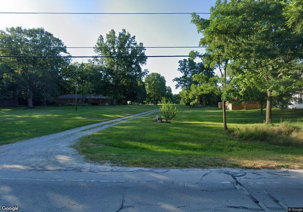
2717 Wadsworth Rd Norton, OH 44203
Estimated Value: $392,000 - $536,085
4
Beds
3
Baths
3,424
Sq Ft
$130/Sq Ft
Est. Value
About This Home
This home is located at 2717 Wadsworth Rd, Norton, OH 44203 and is currently estimated at $445,521, approximately $130 per square foot. 2717 Wadsworth Rd is a home located in Summit County with nearby schools including Norton Primary Elementary School, Norton Middle School, and Norton High School.
Ownership History
Date
Name
Owned For
Owner Type
Purchase Details
Closed on
Jun 23, 2009
Sold by
Thurman Rex D
Bought by
Hsbc Bank Usa
Current Estimated Value
Purchase Details
Closed on
Jul 15, 1999
Sold by
Stano Patricia A and Dufore Portia M
Bought by
Thurman Rex D and Thurman Christine L
Home Financials for this Owner
Home Financials are based on the most recent Mortgage that was taken out on this home.
Original Mortgage
$53,600
Interest Rate
7.7%
Create a Home Valuation Report for This Property
The Home Valuation Report is an in-depth analysis detailing your home's value as well as a comparison with similar homes in the area
Home Values in the Area
Average Home Value in this Area
Purchase History
| Date | Buyer | Sale Price | Title Company |
|---|---|---|---|
| Hsbc Bank Usa | $188,000 | None Available | |
| Thurman Rex D | $67,000 | Bond & Associates Title Agen |
Source: Public Records
Mortgage History
| Date | Status | Borrower | Loan Amount |
|---|---|---|---|
| Previous Owner | Thurman Rex D | $53,600 |
Source: Public Records
Tax History Compared to Growth
Tax History
| Year | Tax Paid | Tax Assessment Tax Assessment Total Assessment is a certain percentage of the fair market value that is determined by local assessors to be the total taxable value of land and additions on the property. | Land | Improvement |
|---|---|---|---|---|
| 2025 | $5,174 | $126,137 | $17,794 | $108,343 |
| 2024 | $5,174 | $126,137 | $17,794 | $108,343 |
| 2023 | $5,174 | $126,137 | $17,794 | $108,343 |
| 2022 | $5,546 | $111,017 | $15,610 | $95,407 |
| 2021 | $5,573 | $111,017 | $15,610 | $95,407 |
| 2020 | $5,206 | $111,020 | $15,610 | $95,410 |
| 2019 | $5,093 | $95,320 | $19,080 | $76,240 |
| 2018 | $5,008 | $95,320 | $19,080 | $76,240 |
| 2017 | $5,466 | $95,320 | $19,080 | $76,240 |
| 2016 | $5,466 | $95,320 | $19,080 | $76,240 |
| 2015 | $5,466 | $95,320 | $19,080 | $76,240 |
| 2014 | $5,415 | $95,320 | $19,080 | $76,240 |
| 2013 | $5,246 | $93,390 | $19,080 | $74,310 |
Source: Public Records
Map
Nearby Homes
- 2817 Kay Blvd
- 2881 Wilbanks Dr
- 2995 Wilbanks Dr
- 3007 Wilbanks Dr
- 2711 S Cleveland Massillon Rd
- 3270 Glenbrook Dr
- 3303 Glenbrook Dr
- 2395 Hull Dr
- 2394 Jacoby Rd
- 3141 Fair Oaks Dr
- 2783 Shellhart Rd
- 2065 Wadsworth Rd
- 2767 Steeb Cir
- 3012 Shellhart Rd
- 3658 Knecht Rd
- 2902 S/L 16 Willow Way
- 2870 S/L 12 Willow Way
- 3371 Brenner Rd
- 3649 Stradley Cir
- 3837 S Cleveland Massillon Rd
- 2685 Wadsworth Rd
- 2729 Wadsworth Rd
- 2785 Wadsworth Rd
- 2743 Wadsworth Rd
- 2908 Rich Rd
- 2707 Wadsworth Rd
- 2930 Rich Rd
- 2894 Rich Rd
- 2763 Wadsworth Rd
- 2876 Rich Rd
- 2781 Wadsworth Rd
- 2659 Wadsworth Rd
- 2920 Rich Rd
- 2649 Rush Rd
- 2726 Wadsworth Rd
- 2706 Wadsworth Rd
- 2791 Wadsworth Rd
- 2696 Wadsworth Rd
- 2690 Wadsworth Rd
- 2750 Wadsworth Rd