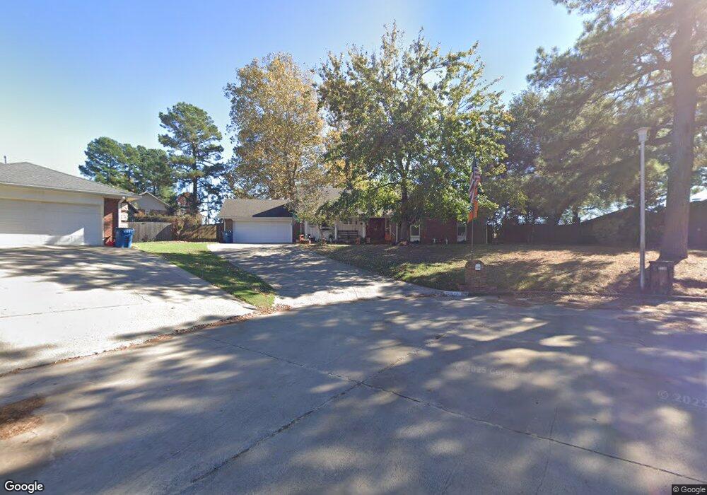
2718 Brookside Cir McAlester, OK 74501
Estimated Value: $186,000 - $268,000
3
Beds
2
Baths
2,689
Sq Ft
$88/Sq Ft
Est. Value
About This Home
This home is located at 2718 Brookside Cir, McAlester, OK 74501 and is currently estimated at $237,805, approximately $88 per square foot. 2718 Brookside Cir is a home located in Pittsburg County with nearby schools including McAlester High School, Mcalester Christian Academy, and Lakewood Christian School.
Ownership History
Date
Name
Owned For
Owner Type
Purchase Details
Closed on
Oct 3, 2024
Sold by
Strickland Jerry Melvin and Strickland Bonita Mae
Bought by
Hutson Ronica Jo and Rader Jerri Beth
Current Estimated Value
Create a Home Valuation Report for This Property
The Home Valuation Report is an in-depth analysis detailing your home's value as well as a comparison with similar homes in the area
Purchase History
| Date | Buyer | Sale Price | Title Company |
|---|---|---|---|
| Hutson Ronica Jo | -- | None Listed On Document | |
| Hutson Ronica Jo | -- | None Listed On Document |
Source: Public Records
Tax History
| Year | Tax Paid | Tax Assessment Tax Assessment Total Assessment is a certain percentage of the fair market value that is determined by local assessors to be the total taxable value of land and additions on the property. | Land | Improvement |
|---|---|---|---|---|
| 2025 | $1,575 | $18,919 | $2,020 | $16,899 |
| 2024 | $1,575 | $18,368 | $1,961 | $16,407 |
| 2023 | $1,523 | $17,833 | $1,909 | $15,924 |
| 2022 | $1,428 | $17,314 | $1,865 | $15,449 |
| 2021 | $1,421 | $17,314 | $1,865 | $15,449 |
| 2020 | $1,343 | $16,320 | $1,781 | $14,539 |
| 2019 | $1,196 | $16,320 | $1,793 | $14,527 |
| 2018 | $1,161 | $15,383 | $1,690 | $13,693 |
| 2017 | $1,136 | $14,936 | $1,641 | $13,295 |
| 2016 | $1,095 | $14,500 | $1,593 | $12,907 |
| 2015 | $973 | $14,078 | $1,382 | $12,696 |
| 2014 | $973 | $14,078 | $1,382 | $12,696 |
Source: Public Records
Map
Nearby Homes
- 2705 Brookside Cir
- 0 Hardy Springs Cir
- 602 Flamingo Rd
- 3201 Hardy Springs Rd
- 2710 Hardy Springs Rd
- 1910 Cardinal Ln
- 1901 Mockingbird Ln
- 509 Dove Dr
- 1813 Mockingbird Ln
- 3101 Hardy Springs Rd
- 3001 Hardy Springs Rd
- 3100 Hardy Springs Rd
- 1813 Nightingale Cir
- 1003 Sunnybrook
- 1803 S 9th St
- 0 Oklahoma Ave
- 1709 Virginia Dr
- 1710 Louise Dr
- 1708 Louise Dr
- 9 Edgewood Dr
- 2712 Brookside Cir
- 2717 Brookside Cir
- 2713 Highland Terrace
- 2715 Highland Terrace
- 2713 Brookside Cir
- 2713 Brookside Cir
- 2710 Brookside Cir
- 2711 Highland Terrace
- 0 Great Oaks Dr Unit 2202041
- 2711 Brookside Cir
- 2708 Brookside Cir
- 2709 Highland Terrace
- 2716 Highland Terrace
- 2706 Brookside Cir
- 804 Great Oaks Dr
- 2712 Highland Terrace
- 2707 Highland Terrace
- 2710 Highland Terrace
- 2704 Brookside Cir
- 2208 Mockingbird Ln
Your Personal Tour Guide
Ask me questions while you tour the home.