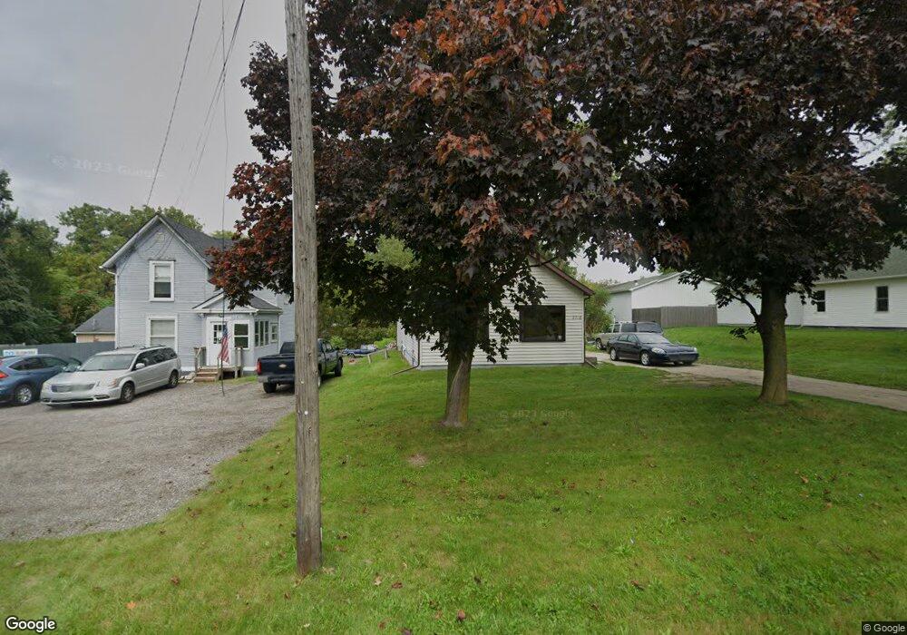
2718 Page Ave Jackson, MI 49203
Estimated Value: $103,491 - $156,000
2
Beds
1
Bath
1,196
Sq Ft
$107/Sq Ft
Est. Value
About This Home
This home is located at 2718 Page Ave, Jackson, MI 49203 and is currently estimated at $128,123, approximately $107 per square foot. 2718 Page Ave is a home located in Jackson County with nearby schools including Middle School at Parkside, Jackson High School, and Francis Street Primary School.
Ownership History
Date
Name
Owned For
Owner Type
Purchase Details
Closed on
Oct 3, 2018
Sold by
Hammond John A
Bought by
Hammond Jeffrey S
Current Estimated Value
Purchase Details
Closed on
Jun 16, 2010
Sold by
Hammond John A and Hammond Susanne
Bought by
Hammond John A and The John A Hammond Restated Trust
Purchase Details
Closed on
Aug 10, 2009
Sold by
Chase Home Finance Llc
Bought by
Federal National Mortgage Association
Purchase Details
Closed on
Aug 28, 2002
Sold by
Dillay Mark A and Dillay Mary Lou
Bought by
Parker Christopher J
Home Financials for this Owner
Home Financials are based on the most recent Mortgage that was taken out on this home.
Original Mortgage
$69,600
Interest Rate
8.95%
Mortgage Type
Purchase Money Mortgage
Create a Home Valuation Report for This Property
The Home Valuation Report is an in-depth analysis detailing your home's value as well as a comparison with similar homes in the area
Home Values in the Area
Average Home Value in this Area
Purchase History
| Date | Buyer | Sale Price | Title Company |
|---|---|---|---|
| Hammond Jeffrey S | -- | Title Matters | |
| Hammond John A | -- | None Available | |
| Federal National Mortgage Association | -- | None Available | |
| Parker Christopher J | $87,000 | -- |
Source: Public Records
Mortgage History
| Date | Status | Borrower | Loan Amount |
|---|---|---|---|
| Previous Owner | Parker Christopher J | $69,600 |
Source: Public Records
Tax History Compared to Growth
Tax History
| Year | Tax Paid | Tax Assessment Tax Assessment Total Assessment is a certain percentage of the fair market value that is determined by local assessors to be the total taxable value of land and additions on the property. | Land | Improvement |
|---|---|---|---|---|
| 2025 | $1,540 | $42,500 | $0 | $0 |
| 2024 | $1,165 | $40,800 | $0 | $0 |
| 2023 | $1,116 | $39,300 | $0 | $0 |
| 2022 | $1,406 | $33,900 | $0 | $0 |
| 2021 | $1,379 | $28,300 | $0 | $0 |
| 2020 | $1,360 | $28,400 | $0 | $0 |
| 2019 | $1,343 | $26,300 | $0 | $0 |
| 2018 | $1,304 | $25,200 | $0 | $0 |
| 2017 | $1,119 | $24,800 | $0 | $0 |
| 2016 | $879 | $24,300 | $24,300 | $0 |
| 2015 | $831 | $22,600 | $22,600 | $0 |
| 2014 | $831 | $22,500 | $0 | $0 |
| 2013 | -- | $22,500 | $22,500 | $0 |
Source: Public Records
Map
Nearby Homes
- 2718 Page Ave
- 2505 Page Ave
- 0 Page Ave Unit 25019979
- Vl Watts St
- 1139 S Dettman Rd
- 939 S Gorham St
- 698 S Dettman Rd
- 2016 Pringle Ave
- 539 S Dettman Rd
- O Research Dr
- 606 S Gorham St
- 509 S Gorham St
- Unit 55 Sanctuary Dr
- Unit 50 Sanctuary Dr
- Unit 48,49 Sanctuary Dr
- Unit 53 Sanctuary Dr
- Unit 53, 5 Sanctuary Dr
- vl Seymour Rd
- Unit 48 Sanctuary Dr
- Unit 28 Sanctuary Dr