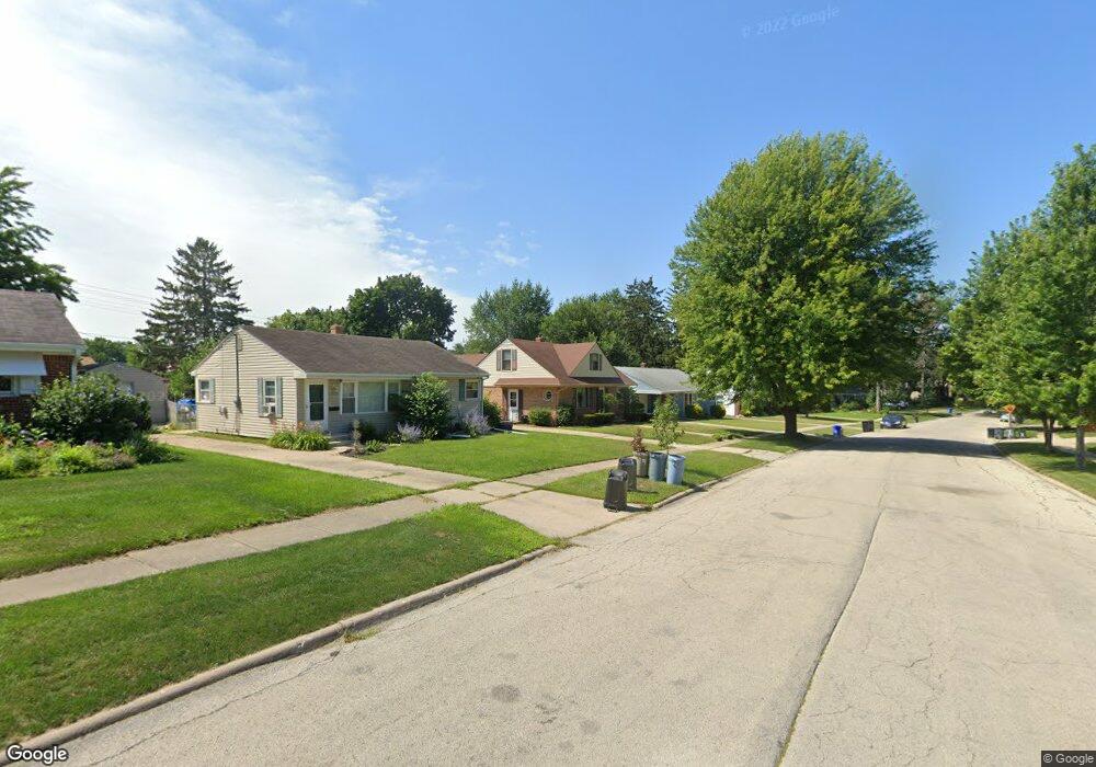
2719 18th Ave Rockford, IL 61108
Rolling Green NeighborhoodEstimated Value: $132,000 - $172,399
4
Beds
2
Baths
1,658
Sq Ft
$94/Sq Ft
Est. Value
About This Home
This home is located at 2719 18th Ave, Rockford, IL 61108 and is currently estimated at $156,100, approximately $94 per square foot. 2719 18th Ave is a home located in Winnebago County with nearby schools including Whitehead Elementary School, Bernard W. Flinn Middle School, and Rockford East High School.
Ownership History
Date
Name
Owned For
Owner Type
Purchase Details
Closed on
May 30, 2025
Sold by
Kast Deborah and Oakley Radonna
Bought by
Cobb William Hairl and Cobb Stephanie Faith
Current Estimated Value
Home Financials for this Owner
Home Financials are based on the most recent Mortgage that was taken out on this home.
Original Mortgage
$132,275
Outstanding Balance
$131,931
Interest Rate
6.75%
Mortgage Type
New Conventional
Estimated Equity
$24,169
Purchase Details
Closed on
Feb 8, 2023
Sold by
Cobb Delena J
Bought by
Cobb Delena J and Kast Deborah
Create a Home Valuation Report for This Property
The Home Valuation Report is an in-depth analysis detailing your home's value as well as a comparison with similar homes in the area
Home Values in the Area
Average Home Value in this Area
Purchase History
| Date | Buyer | Sale Price | Title Company |
|---|---|---|---|
| Cobb William Hairl | $130,000 | None Listed On Document | |
| Cobb Delena J | -- | None Listed On Document |
Source: Public Records
Mortgage History
| Date | Status | Borrower | Loan Amount |
|---|---|---|---|
| Open | Cobb William Hairl | $132,275 |
Source: Public Records
Tax History Compared to Growth
Tax History
| Year | Tax Paid | Tax Assessment Tax Assessment Total Assessment is a certain percentage of the fair market value that is determined by local assessors to be the total taxable value of land and additions on the property. | Land | Improvement |
|---|---|---|---|---|
| 2024 | $2,820 | $40,762 | $5,240 | $35,522 |
| 2023 | $1,297 | $35,942 | $4,620 | $31,322 |
| 2022 | $1,427 | $32,125 | $4,129 | $27,996 |
| 2021 | $1,531 | $29,456 | $3,786 | $25,670 |
| 2020 | $1,606 | $27,846 | $3,579 | $24,267 |
| 2019 | $1,673 | $26,540 | $3,411 | $23,129 |
| 2018 | $1,846 | $25,013 | $3,215 | $21,798 |
| 2017 | $1,853 | $23,938 | $3,077 | $20,861 |
| 2016 | $1,887 | $23,489 | $3,019 | $20,470 |
| 2015 | $1,910 | $23,489 | $3,019 | $20,470 |
| 2014 | $2,779 | $24,985 | $3,765 | $21,220 |
Source: Public Records
Map
Nearby Homes