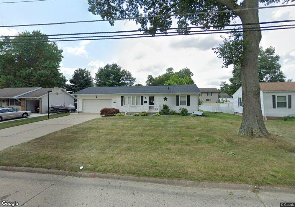
2719 Center Ave Alliance, OH 44601
Estimated Value: $199,000 - $231,000
3
Beds
1
Bath
1,319
Sq Ft
$163/Sq Ft
Est. Value
About This Home
This home is located at 2719 Center Ave, Alliance, OH 44601 and is currently estimated at $215,468, approximately $163 per square foot. 2719 Center Ave is a home located in Stark County with nearby schools including Alliance Elementary School at Rockhill, Alliance Intermediate School at Northside, and Alliance Middle School.
Ownership History
Date
Name
Owned For
Owner Type
Purchase Details
Closed on
Apr 17, 2025
Sold by
William M And Loretta L Offenbecher Trus and Offenbecher Barry J
Bought by
Offenbecher Family Irrevocable Trust and Offenbecher
Current Estimated Value
Purchase Details
Closed on
Jan 21, 2016
Sold by
Offenbecher William M and Offenbecher Loretta L
Bought by
Offenbecher Willliam M and Offenbecher Loretta L
Purchase Details
Closed on
May 20, 2005
Sold by
Cox Ronald L and Cox Diana J
Bought by
Offenbecher William M and Offenbecher Loretta L
Create a Home Valuation Report for This Property
The Home Valuation Report is an in-depth analysis detailing your home's value as well as a comparison with similar homes in the area
Home Values in the Area
Average Home Value in this Area
Purchase History
| Date | Buyer | Sale Price | Title Company |
|---|---|---|---|
| Offenbecher Family Irrevocable Trust | -- | None Listed On Document | |
| Offenbecher Willliam M | -- | Attorney | |
| Offenbecher William M | $125,000 | -- |
Source: Public Records
Tax History Compared to Growth
Tax History
| Year | Tax Paid | Tax Assessment Tax Assessment Total Assessment is a certain percentage of the fair market value that is determined by local assessors to be the total taxable value of land and additions on the property. | Land | Improvement |
|---|---|---|---|---|
| 2025 | -- | $61,610 | $14,180 | $47,430 |
| 2024 | -- | $61,610 | $14,180 | $47,430 |
| 2023 | $1,455 | $45,370 | $11,940 | $33,430 |
| 2022 | $1,481 | $45,370 | $11,940 | $33,430 |
| 2021 | $1,483 | $45,370 | $11,940 | $33,430 |
| 2020 | $1,317 | $39,130 | $10,360 | $28,770 |
| 2019 | $1,298 | $39,130 | $10,360 | $28,770 |
| 2018 | $1,304 | $39,130 | $10,360 | $28,770 |
| 2017 | $1,172 | $35,600 | $8,860 | $26,740 |
| 2016 | $1,123 | $34,270 | $7,530 | $26,740 |
| 2015 | $1,133 | $34,270 | $7,530 | $26,740 |
| 2014 | $1,152 | $33,460 | $7,350 | $26,110 |
| 2013 | $575 | $33,460 | $7,350 | $26,110 |
Source: Public Records
Map
Nearby Homes
- 1059 Oakwood Dr
- 2220 Western Ave
- 2112 Blenheim Ave
- 0 Winchester St
- 0 Winchester St Unit 5162877
- 2050 Federal Ave
- 1325 W Beech St
- 2839 S Rockhill Ave
- 3101 Ridgehill Ave
- 884 W College Rd
- 1515 S Rockhill Ave
- 0 Easton St NE
- 1201 Overlook Dr
- 277 W Carol St
- 1321 Parkway Blvd
- 256 Laramie St
- 1038 Fairview Place
- 2081 Marwood Cir
- 236 E Milton St
- 970 Kingsway St
- 2801 Center Ave
- 2709 Center Ave
- 2720 Blenheim Ave
- 2809 Center Ave
- 2802 Blenheim Ave
- 2710 Blenheim Ave
- 2720 Center Ave
- 2800 Center Ave
- 2812 Blenheim Ave
- 2710 Center Ave
- 2649 Center Ave
- 2819 Center Ave
- 2810 Center Ave
- 2650 Blenheim Ave
- 2822 Blenheim Ave
- 2650 Center Ave
- 2639 Center Ave
- 2820 Center Ave
- 2829 Center Ave
- 2640 Blenheim Ave