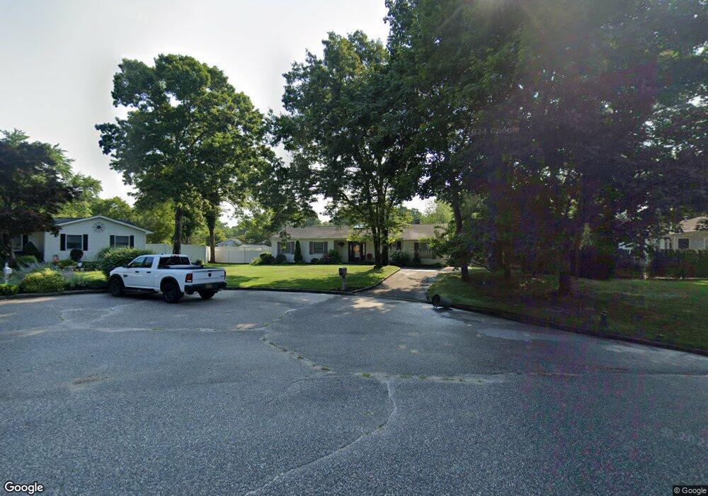
2719 John Roe Smith Ave Medford, NY 11763
Estimated Value: $548,000 - $690,000
3
Beds
2
Baths
1,678
Sq Ft
$370/Sq Ft
Est. Value
About This Home
This home is located at 2719 John Roe Smith Ave, Medford, NY 11763 and is currently estimated at $621,041, approximately $370 per square foot. 2719 John Roe Smith Ave is a home located in Suffolk County with nearby schools including Patchogue-Medford High School and Long Island Baptist Academy.
Ownership History
Date
Name
Owned For
Owner Type
Purchase Details
Closed on
Apr 28, 2011
Sold by
Greer Melissa and Greer Derrick
Bought by
Lodico Jennifer
Current Estimated Value
Home Financials for this Owner
Home Financials are based on the most recent Mortgage that was taken out on this home.
Original Mortgage
$209,549
Outstanding Balance
$144,752
Interest Rate
4.75%
Mortgage Type
FHA
Estimated Equity
$476,289
Purchase Details
Closed on
Mar 24, 2006
Purchase Details
Closed on
Dec 16, 2004
Sold by
Barrett Thomas J
Bought by
Greer Melissa
Create a Home Valuation Report for This Property
The Home Valuation Report is an in-depth analysis detailing your home's value as well as a comparison with similar homes in the area
Home Values in the Area
Average Home Value in this Area
Purchase History
| Date | Buyer | Sale Price | Title Company |
|---|---|---|---|
| Lodico Jennifer | $215,000 | -- | |
| -- | -- | -- | |
| Greer Melissa | $323,000 | James Dimartino |
Source: Public Records
Mortgage History
| Date | Status | Borrower | Loan Amount |
|---|---|---|---|
| Open | Lodico Jennifer | $209,549 |
Source: Public Records
Tax History Compared to Growth
Tax History
| Year | Tax Paid | Tax Assessment Tax Assessment Total Assessment is a certain percentage of the fair market value that is determined by local assessors to be the total taxable value of land and additions on the property. | Land | Improvement |
|---|---|---|---|---|
| 2024 | $8,436 | $2,160 | $250 | $1,910 |
| 2023 | $8,436 | $2,160 | $250 | $1,910 |
| 2022 | $7,313 | $2,160 | $250 | $1,910 |
| 2021 | $7,313 | $2,160 | $250 | $1,910 |
| 2020 | $7,580 | $2,160 | $250 | $1,910 |
| 2019 | $7,580 | $0 | $0 | $0 |
| 2018 | $7,068 | $2,160 | $250 | $1,910 |
| 2017 | $7,068 | $2,160 | $250 | $1,910 |
| 2016 | $6,928 | $2,160 | $250 | $1,910 |
| 2015 | -- | $2,160 | $250 | $1,910 |
| 2014 | -- | $2,160 | $250 | $1,910 |
Source: Public Records
Map
Nearby Homes
- 2697 Heather Ave
- 2617 Kane Ave
- 4 Taylor Ln
- 2712 Falcon Ave
- 2812 Sipp Ave
- 2909 Falcon Ave
- 2401 Race Ave
- 37 Lot 2 Locust Ave S
- 37 Lot 1 Locust Ave S
- 0 Cedar Ln Unit ONE3556748
- 3019 Sipp Ave
- 21 Locust Ave S
- 1902 Race Ave
- 35 Timber Trail Ln
- 3115 Heather Ave
- 3110 Kane Ave
- 3004 New London Ave
- 2905 Beechnut Ave
- 0 Bellport Ave
- 2405 Fire Ave
- 2801 West Gate
- 2721 John Roe Smith Ave
- 54 Hagerman Ave
- 2803 W Gate
- 2803 West Gate
- 56 Hagerman Ave
- 58 Hagerman Ave
- 2723 John Roe Smith Ave
- 2718 John Roe Smith Ave
- 2802 West Gate
- 2716 John Roe Smith Ave
- 2804 West Gate
- 2725 John Roe Smith Ave
- 2714 John Roe Smith Ave
- 2713 John Roe Smith Ave
- 4 Hope Ct
- 2727 John Roe Smith Ave
- 2802 Knickerbocker Ave
- 28 Hagerman Ave
- 2804 Knickerbocker Ave