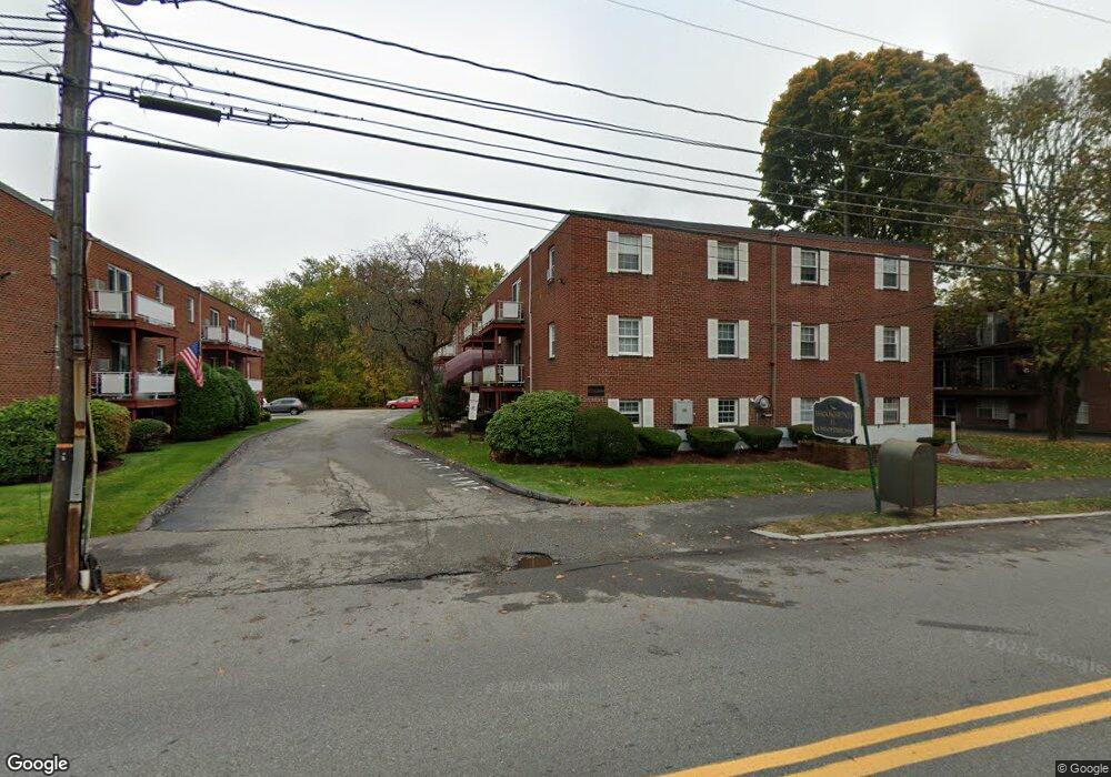
272 Albion St Unit 20 Wakefield, MA 01880
West Side NeighborhoodEstimated Value: $363,007 - $446,000
2
Beds
1
Bath
825
Sq Ft
$470/Sq Ft
Est. Value
About This Home
This home is located at 272 Albion St Unit 20, Wakefield, MA 01880 and is currently estimated at $387,502, approximately $469 per square foot. 272 Albion St Unit 20 is a home located in Middlesex County with nearby schools including Wakefield Memorial High School, St Joseph School, and St. Patrick Elementary School.
Ownership History
Date
Name
Owned For
Owner Type
Purchase Details
Closed on
Apr 6, 2009
Sold by
Moore Sylvester and Moore Angela M
Bought by
Moore Sylvester
Current Estimated Value
Purchase Details
Closed on
Dec 1, 2004
Sold by
Panuthos Peter J
Bought by
Moore Angela and Moore Sylvester
Home Financials for this Owner
Home Financials are based on the most recent Mortgage that was taken out on this home.
Original Mortgage
$213,400
Interest Rate
5.69%
Mortgage Type
Purchase Money Mortgage
Create a Home Valuation Report for This Property
The Home Valuation Report is an in-depth analysis detailing your home's value as well as a comparison with similar homes in the area
Home Values in the Area
Average Home Value in this Area
Purchase History
| Date | Buyer | Sale Price | Title Company |
|---|---|---|---|
| Moore Sylvester | -- | -- | |
| Moore Angela | $220,000 | -- |
Source: Public Records
Mortgage History
| Date | Status | Borrower | Loan Amount |
|---|---|---|---|
| Previous Owner | Moore Angela | $213,400 |
Source: Public Records
Tax History
| Year | Tax Paid | Tax Assessment Tax Assessment Total Assessment is a certain percentage of the fair market value that is determined by local assessors to be the total taxable value of land and additions on the property. | Land | Improvement |
|---|---|---|---|---|
| 2025 | $4,077 | $359,200 | $0 | $359,200 |
| 2024 | $3,615 | $321,300 | $0 | $321,300 |
| 2023 | $3,555 | $303,100 | $0 | $303,100 |
| 2022 | $3,734 | $303,100 | $0 | $303,100 |
| 2021 | $3,464 | $272,100 | $0 | $272,100 |
| 2020 | $3,316 | $259,700 | $0 | $259,700 |
| 2019 | $3,127 | $243,700 | $0 | $243,700 |
| 2018 | $2,770 | $213,900 | $0 | $213,900 |
| 2017 | $2,555 | $196,100 | $0 | $196,100 |
| 2016 | $2,428 | $180,000 | $0 | $180,000 |
| 2015 | $2,379 | $176,500 | $0 | $176,500 |
| 2014 | $2,169 | $169,700 | $0 | $169,700 |
Source: Public Records
Map
Nearby Homes
- 252 Albion St Unit 3
- 248 Albion St Unit 231
- 248 Albion St Unit 321
- 55 Bartley St
- 69 Foundry St Unit 310
- 69 Foundry St Unit 416
- 62 Foundry St Unit 310
- 62 Foundry St Unit 312
- 62 Foundry St Unit 204
- 62 Foundry St Unit 505
- 62 Foundry St Unit 202
- 62 Foundry St Unit 208
- 62 Foundry St Unit 414
- 34 Cedar St
- 4 Adams St
- 8 Mayflower Dr
- 95 Prospect St
- 43-45 Crescent St
- 38 Bennett St Unit 3D
- 16 Pleasant St
- 272 Albion St Unit 24
- 272 Albion St Unit 23
- 272 Albion St Unit 22
- 272 Albion St Unit 21
- 272 Albion St Unit 19
- 272 Albion St Unit 18
- 272 Albion St Unit 17
- 272 Albion St Unit 16
- 272 Albion St Unit 15
- 272 Albion St Unit 14
- 272 Albion St Unit 13
- 272 Albion St Unit 12
- 272 Albion St Unit 11
- 272 Albion St Unit 10
- 272 Albion St Unit 9
- 272 Albion St Unit 8
- 272 Albion St Unit 7
- 272 Albion St Unit 6
- 272 Albion St Unit 5
- 272 Albion St Unit 4