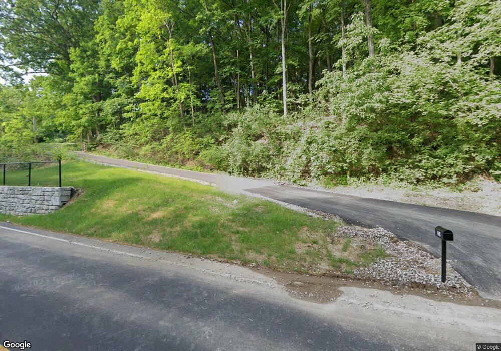
272 Allen Rd Fenton, MO 63026
Estimated Value: $798,000 - $2,321,404
2
Beds
5
Baths
5,539
Sq Ft
$243/Sq Ft
Est. Value
About This Home
This home is located at 272 Allen Rd, Fenton, MO 63026 and is currently estimated at $1,347,351, approximately $243 per square foot. 272 Allen Rd is a home located in St. Louis County with nearby schools including Concord Elementary School, Sperreng Middle School, and Lindbergh High School.
Ownership History
Date
Name
Owned For
Owner Type
Purchase Details
Closed on
Jun 16, 2022
Sold by
Vogt and Linda
Bought by
Vogt Living Trust
Current Estimated Value
Purchase Details
Closed on
Apr 12, 2019
Sold by
Dewey L Dixon And Dorothy M Dixon Rev Tr
Bought by
Vogt Scott and Vogt Linda
Purchase Details
Closed on
Nov 26, 2014
Sold by
Dixon Dewey L and Dixon Dorothy M
Bought by
Dixon Dewey L and Dixon Dorothy M
Create a Home Valuation Report for This Property
The Home Valuation Report is an in-depth analysis detailing your home's value as well as a comparison with similar homes in the area
Home Values in the Area
Average Home Value in this Area
Purchase History
| Date | Buyer | Sale Price | Title Company |
|---|---|---|---|
| Vogt Living Trust | -- | None Listed On Document | |
| Vogt Scott | $350,000 | Investors Title Co Clayton | |
| Dixon Dewey L | -- | None Available |
Source: Public Records
Tax History Compared to Growth
Tax History
| Year | Tax Paid | Tax Assessment Tax Assessment Total Assessment is a certain percentage of the fair market value that is determined by local assessors to be the total taxable value of land and additions on the property. | Land | Improvement |
|---|---|---|---|---|
| 2025 | $18,885 | $388,280 | $182,150 | $206,130 |
| 2024 | $18,885 | $265,730 | $130,110 | $135,620 |
| 2023 | $18,885 | $265,730 | $130,110 | $135,620 |
| 2022 | $17,538 | $237,820 | $130,110 | $107,710 |
| 2021 | $16,804 | $229,060 | $130,110 | $98,950 |
| 2020 | $5,526 | $72,730 | $71,080 | $1,650 |
| 2019 | $5,512 | $72,730 | $71,080 | $1,650 |
| 2018 | $4,556 | $56,220 | $54,590 | $1,630 |
| 2017 | $4,508 | $56,220 | $54,590 | $1,630 |
| 2016 | $2,785 | $34,770 | $33,140 | $1,630 |
| 2015 | $2,747 | $34,770 | $33,140 | $1,630 |
| 2014 | $1,027 | $12,810 | $12,810 | $0 |
Source: Public Records
Map
Nearby Homes
- 115 Harbor Ct
- 166 Samarra Estates Dr Unit G
- 651 Green Jade Dr Unit G
- 642 S Old Highway 141 Unit F
- 104 Fenton Park Ct
- 813 Kingston Hills Ct
- 1010 Winter Lake Dr
- 845 Kingston Hills Ct
- 2 Bluebird Ln
- 136 Winter Valley Dr
- 546 Gravois Rd
- 1077 Big Sky Dr
- 515 Main St
- 140 Fenton Crossing
- 990 Hydeaway Ct
- 802 Fox Creek Dr
- 615 Corisande Hill Rd
- 11226 Pointe Ct
- 12817 Pointe Dr
- 5512 & 5516 Elk Valley Estates Dr
- 272 Allen Rd
- 0Lot 36 Harbor Bluff
- 326 Harbor Bluff Dr
- 322 Harbor Bluff Dr
- 330 Harbor Bluff Dr
- 318 Harbor Bluff Dr
- 334 Harbor Bluff Dr
- 314 Harbor Bluff Dr
- 338 Harbor Bluff Dr
- 310 Harbor Bluff Dr
- 342 Harbor Bluff Dr
- 306 Harbor Bluff Dr
- 567 Busch Forest Ln
- 133 Harbor Ct
- 137 Harbor Ct
- 346 Harbor Bluff Dr
- 302 Harbor Bluff Dr
- 123 Harbor Ct
- 507 Winter Garden Dr
- 119 Harbor
