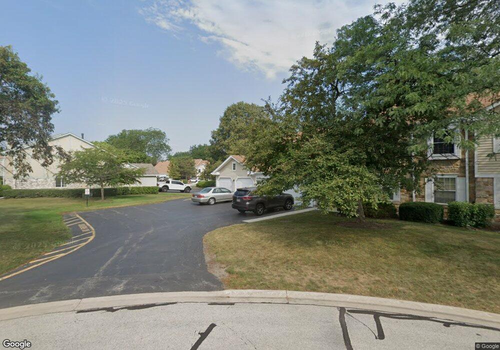
272 Appletree Ct Buffalo Grove, IL 60089
Estimated Value: $235,926 - $248,000
1
Bed
1
Bath
933
Sq Ft
$259/Sq Ft
Est. Value
About This Home
This home is located at 272 Appletree Ct, Buffalo Grove, IL 60089 and is currently estimated at $241,732, approximately $259 per square foot. 272 Appletree Ct is a home located in Lake County with nearby schools including Ivy Hall Elementary School, Twin Groves Middle School, and Adlai E Stevenson High School.
Ownership History
Date
Name
Owned For
Owner Type
Purchase Details
Closed on
Jul 16, 2025
Sold by
Wolf Janis I
Bought by
Wolf Trust and Wolf
Current Estimated Value
Purchase Details
Closed on
Apr 24, 2009
Sold by
Wilson Becky L
Bought by
Wolf Janis I
Purchase Details
Closed on
Jul 15, 1997
Sold by
The Chicago Trust Company
Bought by
Freeman Christine
Home Financials for this Owner
Home Financials are based on the most recent Mortgage that was taken out on this home.
Original Mortgage
$68,500
Interest Rate
7.81%
Mortgage Type
Balloon
Create a Home Valuation Report for This Property
The Home Valuation Report is an in-depth analysis detailing your home's value as well as a comparison with similar homes in the area
Home Values in the Area
Average Home Value in this Area
Purchase History
| Date | Buyer | Sale Price | Title Company |
|---|---|---|---|
| Wolf Trust | -- | None Listed On Document | |
| Wolf Janis I | $131,000 | Attorneys Title Guaranty Fun | |
| Freeman Christine | $69,000 | -- |
Source: Public Records
Mortgage History
| Date | Status | Borrower | Loan Amount |
|---|---|---|---|
| Previous Owner | Freeman Christine | $68,500 |
Source: Public Records
Tax History Compared to Growth
Tax History
| Year | Tax Paid | Tax Assessment Tax Assessment Total Assessment is a certain percentage of the fair market value that is determined by local assessors to be the total taxable value of land and additions on the property. | Land | Improvement |
|---|---|---|---|---|
| 2024 | $3,027 | $57,206 | $24,433 | $32,773 |
| 2023 | $4,190 | $52,920 | $22,602 | $30,318 |
| 2022 | $4,190 | $51,178 | $21,858 | $29,320 |
| 2021 | $4,021 | $50,626 | $21,622 | $29,004 |
| 2020 | $3,407 | $50,799 | $21,696 | $29,103 |
| 2019 | $4,366 | $50,612 | $21,616 | $28,996 |
| 2018 | $3,738 | $45,510 | $23,495 | $22,015 |
| 2017 | $3,690 | $44,448 | $22,947 | $21,501 |
| 2016 | $3,550 | $42,563 | $21,974 | $20,589 |
| 2015 | $3,429 | $39,805 | $20,550 | $19,255 |
| 2014 | $3,709 | $42,030 | $22,070 | $19,960 |
| 2012 | $3,607 | $42,114 | $22,114 | $20,000 |
Source: Public Records
Map
Nearby Homes
- 1112 Auburn Ln
- 746 Old Checker Rd Unit E5
- 728 Old Checker Rd Unit C4
- 620 Twisted Oak Ln
- 610 Maple Dr
- 412 Chateau Dr
- 760 Checker Dr
- 1545 Chickamauga Ln
- 630 Woodhollow Ln
- 810 Silver Rock Ln
- 1514 Sumter Dr
- 232 Manor Dr Unit 12C
- 12 Cloverdale Ct
- 1096 Beechwood Rd
- 1325 Fairfax Ln
- 25 Crestview Terrace
- 1117 Franklin Ln Unit C52
- 36 Crestview Terrace
- 612 White Pine Rd
- 4121 N Mallard Dr Unit 5
- 278 Appletree Ct
- 274 Appletree Ct
- 274 Appletree Ct Unit 274
- 275 Ashland Ct
- 275 Ashland Ct Unit 215
- 273 Ashland Ct
- 273 Ashland Ct Unit 273
- 271 Ashland Ct
- 271 Ashland Ct Unit 271
- 246 Thornapple Ct
- 234 Thornapple Ct
- 208 Thornapple Ct
- 228 Thornapple Ct
- 226 Thornapple Ct
- 224 Thornapple Ct
- 222 Thornapple Ct Unit 2
- 248 Thornapple Ct
- 244 Thornapple Ct
- 242 Thornapple Ct
- 238 Thornapple Ct