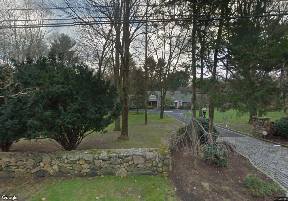
272 Brookdale Rd Stamford, CT 06903
North Stamford NeighborhoodEstimated Value: $1,374,000 - $2,198,000
3
Beds
4
Baths
3,685
Sq Ft
$448/Sq Ft
Est. Value
About This Home
This home is located at 272 Brookdale Rd, Stamford, CT 06903 and is currently estimated at $1,649,937, approximately $447 per square foot. 272 Brookdale Rd is a home located in Fairfield County with nearby schools including Northeast Elementary School, Turn of River School, and Westhill High School.
Ownership History
Date
Name
Owned For
Owner Type
Purchase Details
Closed on
Aug 1, 2016
Sold by
Delcarmine Anthony G and Delcarmine Suzanne M
Bought by
Zapata Maurico and Zapata Kimberly A
Current Estimated Value
Home Financials for this Owner
Home Financials are based on the most recent Mortgage that was taken out on this home.
Original Mortgage
$700,000
Outstanding Balance
$559,598
Interest Rate
3.54%
Mortgage Type
Purchase Money Mortgage
Estimated Equity
$1,090,339
Purchase Details
Closed on
Sep 11, 2002
Sold by
Oconnor Marguerite
Bought by
Delcarmine Anthony G and Melfi Suzanne M
Home Financials for this Owner
Home Financials are based on the most recent Mortgage that was taken out on this home.
Original Mortgage
$650,000
Interest Rate
6.48%
Create a Home Valuation Report for This Property
The Home Valuation Report is an in-depth analysis detailing your home's value as well as a comparison with similar homes in the area
Home Values in the Area
Average Home Value in this Area
Purchase History
| Date | Buyer | Sale Price | Title Company |
|---|---|---|---|
| Zapata Maurico | $940,000 | -- | |
| Delcarmine Anthony G | $950,000 | -- |
Source: Public Records
Mortgage History
| Date | Status | Borrower | Loan Amount |
|---|---|---|---|
| Open | Zapata Maurico | $700,000 | |
| Previous Owner | Delcarmine Anthony G | $617,500 | |
| Previous Owner | Delcarmine Anthony G | $640,000 | |
| Previous Owner | Delcarmine Anthony G | $650,000 |
Source: Public Records
Tax History Compared to Growth
Tax History
| Year | Tax Paid | Tax Assessment Tax Assessment Total Assessment is a certain percentage of the fair market value that is determined by local assessors to be the total taxable value of land and additions on the property. | Land | Improvement |
|---|---|---|---|---|
| 2025 | $18,014 | $774,130 | $282,390 | $491,740 |
| 2024 | $17,619 | $774,130 | $282,390 | $491,740 |
| 2023 | $18,935 | $774,130 | $282,390 | $491,740 |
| 2022 | $16,399 | $622,830 | $217,530 | $405,300 |
| 2021 | $16,175 | $622,830 | $217,530 | $405,300 |
| 2020 | $15,776 | $622,830 | $217,530 | $405,300 |
| 2019 | $15,776 | $622,830 | $217,530 | $405,300 |
| 2018 | $15,640 | $639,670 | $217,530 | $422,140 |
| 2017 | $15,205 | $594,190 | $212,000 | $382,190 |
| 2016 | $12,986 | $523,190 | $212,000 | $311,190 |
| 2015 | $12,630 | $523,190 | $212,000 | $311,190 |
| 2014 | $12,196 | $523,190 | $212,000 | $311,190 |
Source: Public Records
Map
Nearby Homes
- 185 Haviland Rd
- 42 Hannahs Rd
- 164 Janes Ln
- 107 Deepwood Rd
- 295 Haviland Rd
- 105 N Stamford Rd
- 27 Wellington Dr
- 210 Red Fox Rd
- 19 Skymeadow Dr
- 60 Redmont Rd
- 271 Hunting Ridge Rd
- 40 Hoyclo Rd
- 30 Partridge Rd
- 49 Pinner Ln
- 239 E Hunting Ridge Rd
- 185 Interlaken Rd
- 95 Foxwood Rd
- 400 Wire Mill Rd
- 81 Fox Ridge Rd
- 150 Wildwood Rd
- 441 Scofieldtown Rd
- 238 Brookdale Rd
- 252 Brookdale Rd
- 277 Brookdale Rd
- 263 Brookdale Rd
- 236 Brookdale Rd
- 431 Scofieldtown Rd
- 243 Brookdale Rd
- 490 Scofieldtown Rd
- 422 Scofieldtown Rd
- 505 Scofieldtown Rd
- 476 Scofieldtown Rd
- 14 Chestnut Hill Rd
- 510 Scofieldtown Rd
- 227 Brookdale Rd
- 511 Scofieldtown Rd
- 216 Brookdale Rd
- 31 Chestnut Hill Rd
- 215 Brookdale Rd
- 23 Georgian Ct