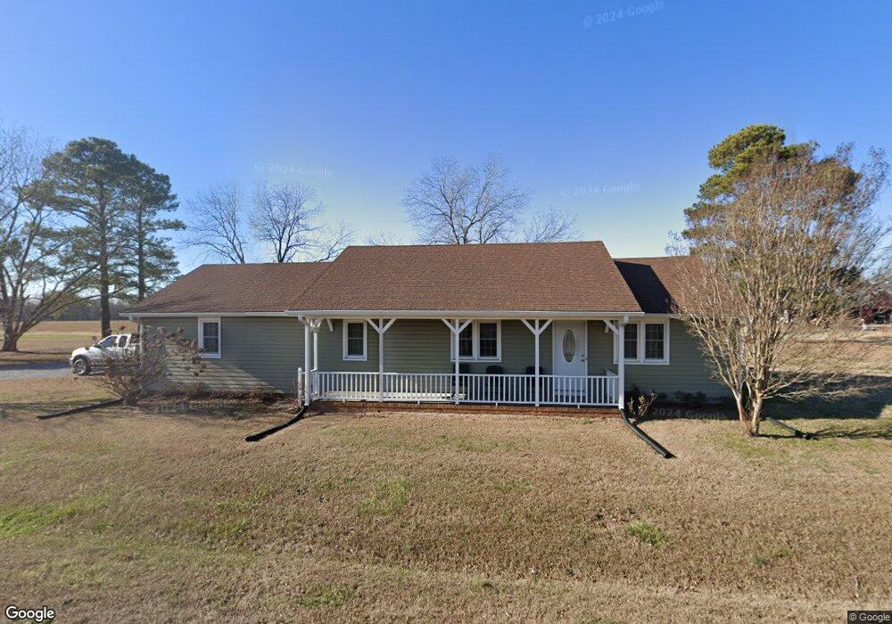
272 Denning Rd Benson, NC 27504
Estimated Value: $268,000 - $357,000
4
Beds
3
Baths
1,940
Sq Ft
$166/Sq Ft
Est. Value
About This Home
This home is located at 272 Denning Rd, Benson, NC 27504 and is currently estimated at $321,493, approximately $165 per square foot. 272 Denning Rd is a home located in Johnston County with nearby schools including Benson Elementary School, Benson Middle School, and South Johnston High School.
Ownership History
Date
Name
Owned For
Owner Type
Purchase Details
Closed on
May 20, 2015
Sold by
Coats Bennett Kirby
Bought by
Coats Lucinda M Life Estate
Current Estimated Value
Purchase Details
Closed on
May 15, 2015
Sold by
Coats Matthew Lynn and Coats Bennett Kirby
Bought by
Coats Bennett Kirby and Coats Terri Johnson
Purchase Details
Closed on
Aug 5, 2013
Sold by
Coats Lucinda M
Bought by
Coats Bennett Kirby and Coats Matthew Lynn
Create a Home Valuation Report for This Property
The Home Valuation Report is an in-depth analysis detailing your home's value as well as a comparison with similar homes in the area
Home Values in the Area
Average Home Value in this Area
Purchase History
| Date | Buyer | Sale Price | Title Company |
|---|---|---|---|
| Coats Lucinda M Life Estate | -- | -- | |
| Coats Bennett Kirby | -- | None Available | |
| Coats Bennett Kirby | -- | None Available |
Source: Public Records
Tax History Compared to Growth
Tax History
| Year | Tax Paid | Tax Assessment Tax Assessment Total Assessment is a certain percentage of the fair market value that is determined by local assessors to be the total taxable value of land and additions on the property. | Land | Improvement |
|---|---|---|---|---|
| 2025 | $1,428 | $224,910 | $60,000 | $164,910 |
| 2024 | $1,116 | $137,770 | $28,500 | $109,270 |
| 2023 | $1,088 | $137,770 | $28,500 | $109,270 |
| 2022 | $1,143 | $137,770 | $28,500 | $109,270 |
| 2021 | $1,143 | $137,770 | $28,500 | $109,270 |
| 2020 | $1,185 | $137,770 | $28,500 | $109,270 |
| 2019 | $1,185 | $137,770 | $28,500 | $109,270 |
| 2018 | $1,025 | $116,430 | $22,500 | $93,930 |
| 2017 | $1,025 | $116,430 | $22,500 | $93,930 |
| 2016 | $1,025 | $116,430 | $22,500 | $93,930 |
| 2015 | $968 | $109,970 | $16,040 | $93,930 |
| 2014 | $968 | $109,970 | $16,040 | $93,930 |
Source: Public Records
Map
Nearby Homes
- 4565 N Carolina 50
- 206 Heatherstone Ct
- 193 Preserve Dr
- 292 Weddington Way
- 85 Kissington Way
- 255 Ravens Row Dr
- 2888 Benson Hardee Rd
- 193 Kissington Way
- 184 Kissington Way
- 243 Kissington Way
- 261 Kissington Way
- 200 Kissington Way
- 74 E American Marigold Dr Unit 61
- 75 E American Marigold Dr Unit 37
- 271 White Azalea Way
- 122 E American Marigold Dr
- 140 E American Marigold Dr
- 32 Boulder River Trail
- The Piedmont Plan at Alder Creek
- The Bradley Plan at Alder Creek