272 Dunham Rd Warren, MA 01083
Estimated Value: $390,000 - $489,000
3
Beds
3
Baths
2,093
Sq Ft
$211/Sq Ft
Est. Value
About This Home
This home is located at 272 Dunham Rd, Warren, MA 01083 and is currently estimated at $441,814, approximately $211 per square foot. 272 Dunham Rd is a home with nearby schools including Quaboag Regional High School.
Ownership History
Date
Name
Owned For
Owner Type
Purchase Details
Closed on
Dec 24, 2024
Sold by
Leger Ft and Leger
Bought by
Gay Lincoln S and Gay Sarah E
Current Estimated Value
Purchase Details
Closed on
Oct 31, 2014
Sold by
Leger Ronald G and Leger Deborah B
Bought by
Gay Lincoln S and Gay Sarah E
Create a Home Valuation Report for This Property
The Home Valuation Report is an in-depth analysis detailing your home's value as well as a comparison with similar homes in the area
Home Values in the Area
Average Home Value in this Area
Purchase History
| Date | Buyer | Sale Price | Title Company |
|---|---|---|---|
| Gay Lincoln S | -- | None Available | |
| Gay Lincoln S | -- | None Available | |
| Gay Lincoln S | -- | -- | |
| Gay Lincoln S | -- | -- | |
| Gay Lincoln S | -- | -- |
Source: Public Records
Mortgage History
| Date | Status | Borrower | Loan Amount |
|---|---|---|---|
| Previous Owner | Gay Lincoln S | $27,000 | |
| Previous Owner | Gay Lincoln S | $200,000 | |
| Previous Owner | Gay Lincoln S | $7,500 |
Source: Public Records
Tax History
| Year | Tax Paid | Tax Assessment Tax Assessment Total Assessment is a certain percentage of the fair market value that is determined by local assessors to be the total taxable value of land and additions on the property. | Land | Improvement |
|---|---|---|---|---|
| 2025 | $6,490 | $438,200 | $74,900 | $363,300 |
| 2024 | $6,604 | $438,200 | $74,900 | $363,300 |
| 2023 | $6,442 | $407,700 | $74,900 | $332,800 |
| 2022 | $5,477 | $352,000 | $58,400 | $293,600 |
| 2021 | $5,374 | $336,700 | $55,200 | $281,500 |
| 2020 | $5,436 | $316,800 | $55,200 | $261,600 |
| 2019 | $5,449 | $300,200 | $55,100 | $245,100 |
| 2018 | $5,199 | $300,200 | $55,100 | $245,100 |
| 2017 | $5,128 | $276,300 | $57,000 | $219,300 |
| 2016 | $5,266 | $265,400 | $54,600 | $210,800 |
| 2015 | $4,693 | $250,300 | $51,500 | $198,800 |
| 2014 | $4,771 | $249,800 | $46,300 | $203,500 |
Source: Public Records
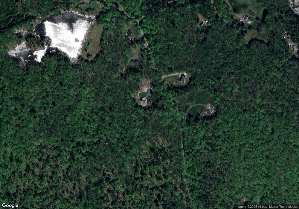
Map
Nearby Homes
- 0 Brimfield Rd Unit 73426061
- 34 Lyman Barnes Rd
- 0 Lyman Barnes Rd
- 12 Presidential Cir
- 3 Heritage Dr
- 368 Keys Rd
- Lot 3C Crouch Rd
- 235 Crouch Rd
- 352 Reed St
- Lot 7 Reed St
- Lot 5 Brimfield Rd
- Lot 3 Brimfield Rd
- 293 Warren Rd
- 299 Warren Rd
- 291 Warren Rd
- 366 Southbridge Rd
- 43 Tower Hill Rd
- 238 Brookfield Rd
- 59 High St
- 83 Comins Pond Rd
- 224 Dunham Rd
- 261 Dunham Rd
- 285 Dunham Rd
- 127 Dunham Rd
- 136 Dunham Rd
- 127 Dunham Rd
- 101 Dunham Rd
- 128 Dunham Rd
- 124 Dunham Rd
- 136 Dunham Rd
- Lot 3G Dunham Rd
- 101 Dunham Rd
- 106 Dunham Rd
- 106 Dunham Rd
- 29 Dunham Rd
- 1210 Brimfield Rd
- 1226 Brimfield Rd
- 1092 Brimfield Rd
- 1274 Brimfield Rd
- 1288 Brimfield Rd
Your Personal Tour Guide
Ask me questions while you tour the home.