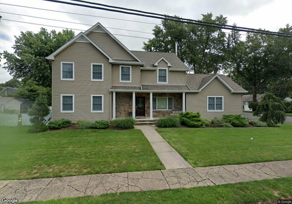
272 Ford Ave Rivervale, NJ 07675
Estimated Value: $892,487 - $1,068,000
Studio
--
Bath
2,360
Sq Ft
$417/Sq Ft
Est. Value
About This Home
This home is located at 272 Ford Ave, Rivervale, NJ 07675 and is currently estimated at $983,122, approximately $416 per square foot. 272 Ford Ave is a home located in Bergen County with nearby schools including Pascack Valley High School, Primoris Academy, and St. John's Academy.
Ownership History
Date
Name
Owned For
Owner Type
Purchase Details
Closed on
Sep 27, 2000
Bought by
Reilly Susette
Current Estimated Value
Home Financials for this Owner
Home Financials are based on the most recent Mortgage that was taken out on this home.
Original Mortgage
$25,000
Outstanding Balance
$9,130
Interest Rate
7.94%
Estimated Equity
$973,992
Purchase Details
Closed on
Apr 22, 1996
Sold by
Hawryliw Daniel and Hawryliw Helen
Bought by
Rielly Susette
Create a Home Valuation Report for This Property
The Home Valuation Report is an in-depth analysis detailing your home's value as well as a comparison with similar homes in the area
Home Values in the Area
Average Home Value in this Area
Purchase History
| Date | Buyer | Sale Price | Title Company |
|---|---|---|---|
| Reilly Susette | -- | -- | |
| Reilly Susette | -- | -- | |
| Rielly Susette | $188,000 | -- |
Source: Public Records
Mortgage History
| Date | Status | Borrower | Loan Amount |
|---|---|---|---|
| Open | Reilly Susette | $25,000 | |
| Closed | Reilly Susette | $25,000 |
Source: Public Records
Tax History
| Year | Tax Paid | Tax Assessment Tax Assessment Total Assessment is a certain percentage of the fair market value that is determined by local assessors to be the total taxable value of land and additions on the property. | Land | Improvement |
|---|---|---|---|---|
| 2025 | $17,593 | $644,200 | $290,000 | $354,200 |
| 2024 | $17,484 | $644,200 | $290,000 | $354,200 |
| 2023 | $17,039 | $644,200 | $290,000 | $354,200 |
| 2022 | $17,039 | $644,200 | $290,000 | $354,200 |
| 2021 | $16,639 | $644,200 | $290,000 | $354,200 |
| 2020 | $16,833 | $644,200 | $290,000 | $354,200 |
| 2019 | $16,446 | $644,200 | $290,000 | $354,200 |
| 2018 | $16,266 | $644,200 | $290,000 | $354,200 |
| 2017 | $16,028 | $644,200 | $290,000 | $354,200 |
| 2016 | $15,570 | $644,200 | $290,000 | $354,200 |
| 2015 | $15,126 | $644,200 | $290,000 | $354,200 |
| 2014 | $14,636 | $644,200 | $290,000 | $354,200 |
Source: Public Records
Map
Nearby Homes
- 236 Oak Ave
- 229 Rockland Ave
- 609 Echo Glen Ave
- 502 Westwood Ave
- 521 Piermont Ave S Unit 403A
- 521 Piermont Ave S Unit 417A
- 84 Maplewood Ave
- 521 Piermont Ave Unit 403A
- 458 Cedar Ln
- 259 Collignon Way Unit 3A
- 410 Mark Ln
- 280 River Dr
- 61 Woodmont Cir
- 8 Augusta Way
- 276 River Dr
- 2 Overbrook Place
- 15 Drake Dr Unit G2
- 23 Muirfield Ln
- 11 Woodmont Cir
- 72 Woodmont Cir
- 276 Ford Ave
- 550 Roosevelt Ave
- 545 Roosevelt Ave
- 549 Hermann Ave
- 273 Ford Ave
- 266 Ford Ave
- 549 Roosevelt Ave
- 277 Ford Ave
- 553 Hermann Ave
- 552 Roosevelt Ave
- 544 Hermann Ave
- 531 Hermann Ave
- 532 Roosevelt Ave
- 548 Elizabeth Ave
- 538 Elizabeth Ave
- 281 Ford Ave
- 551 Roosevelt Ave
- 262 Ford Ave
- 550 Hermann Ave
- 529 Hermann Ave
Your Personal Tour Guide
Ask me questions while you tour the home.