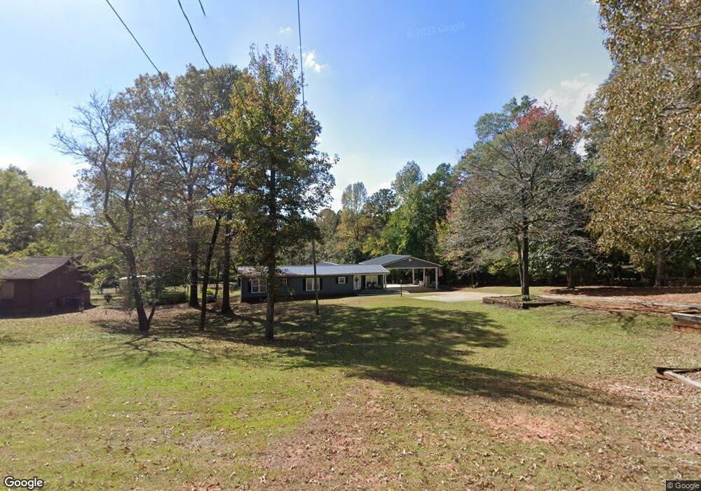
272 Hanson Dr Lagrange, GA 30240
Estimated Value: $249,000 - $322,000
4
Beds
3
Baths
2,152
Sq Ft
$128/Sq Ft
Est. Value
About This Home
This home is located at 272 Hanson Dr, Lagrange, GA 30240 and is currently estimated at $275,330, approximately $127 per square foot. 272 Hanson Dr is a home located in Troup County with nearby schools including Long Cane Elementary School, Berta Weathersbee Elementary School, and Whitesville Road Elementary School.
Ownership History
Date
Name
Owned For
Owner Type
Purchase Details
Closed on
Apr 21, 1997
Sold by
Roger Roger H and Roger
Bought by
Beckom Diane
Current Estimated Value
Purchase Details
Closed on
Nov 6, 1992
Sold by
Beckom Lamar
Bought by
Roger Roger H and Roger
Purchase Details
Closed on
Jun 24, 1988
Sold by
Benefield Dorothy
Bought by
Beckom Lamar
Purchase Details
Closed on
Apr 29, 1975
Sold by
Gaston Larry B and Gaston Patricia B
Bought by
Benefield Dorothy
Purchase Details
Closed on
Apr 22, 1970
Bought by
Gaston Larry B and Gaston Patricia B
Purchase Details
Closed on
Apr 21, 1970
Sold by
Benefield John
Create a Home Valuation Report for This Property
The Home Valuation Report is an in-depth analysis detailing your home's value as well as a comparison with similar homes in the area
Purchase History
| Date | Buyer | Sale Price | Title Company |
|---|---|---|---|
| Beckom Diane | -- | -- | |
| Roger Roger H | -- | -- | |
| Beckom Lamar | -- | -- | |
| Benefield Dorothy | $3,000 | -- | |
| Gaston Larry B | -- | -- | |
| -- | -- | -- |
Source: Public Records
Tax History
| Year | Tax Paid | Tax Assessment Tax Assessment Total Assessment is a certain percentage of the fair market value that is determined by local assessors to be the total taxable value of land and additions on the property. | Land | Improvement |
|---|---|---|---|---|
| 2025 | $2,660 | $104,640 | $5,000 | $99,640 |
| 2024 | $2,408 | $90,280 | $5,000 | $85,280 |
| 2023 | $1,763 | $84,520 | $5,000 | $79,520 |
| 2022 | $2,178 | $80,040 | $5,000 | $75,040 |
| 2021 | $1,953 | $66,760 | $4,240 | $62,520 |
| 2020 | $1,953 | $66,760 | $4,240 | $62,520 |
| 2019 | $1,549 | $53,360 | $4,000 | $49,360 |
| 2018 | $1,414 | $48,880 | $4,000 | $44,880 |
| 2017 | $1,414 | $48,880 | $4,000 | $44,880 |
| 2016 | $1,422 | $49,141 | $4,000 | $45,141 |
| 2015 | $1,425 | $49,141 | $4,000 | $45,141 |
| 2014 | $1,355 | $46,765 | $4,000 | $42,765 |
| 2013 | -- | $45,907 | $4,000 | $41,907 |
Source: Public Records
Map
Nearby Homes
- 275 Hanson Dr
- 0 Hanson Dr Unit 10641272
- 0 Glass Bridge Rd Unit 10679358
- 105 Redwood Dr
- 22 Freeman Rd
- 808 S Fling Rd
- 266 Glass Bridge Rd
- 640 Hudson Rd
- 0 Bradfield Dr Unit 10568803
- 8 Horace Carter Rd
- 509 Connie Dr
- 427 Fling Rd
- 124 Foxdale Dr
- 104 Bridlewood Dr
- 119 Plymouth Dr
- 135 Planters Ridge Dr
- 113 Colonial Ct Unit 100
- 311 Cumberland Dr
- 101 Ivy Springs Dr
- 3 Reed Dr
- 286 Hanson Dr
- 296 Hanson Dr
- 230 Hanson Dr
- 287 Hanson Dr
- 303 Hanson Dr Unit 91
- 0 Hanson Dr Unit 20473508
- 0 Hanson Dr Unit 7559914
- 273 Hanson Dr
- 216 Hanson Dr
- 255 Hanson Dr
- 231 Hanson Dr
- 186 Hanson Dr
- 191 Hanson Dr
- 166 Hanson Dr
- 135 AC Hanson Dr
- 171 Hanson Dr
- 277 Hanson Dr
- 281 Hanson Dr
- 269 Hanson Dr
- 151 Hanson Dr
Your Personal Tour Guide
Ask me questions while you tour the home.