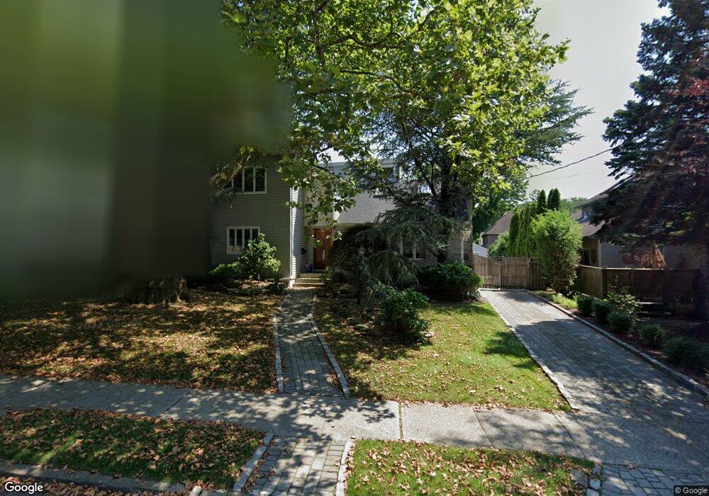
272 Henderson Ave Staten Island, NY 10301
Randall Manor NeighborhoodEstimated Value: $969,000 - $1,206,000
4
Beds
3
Baths
2,500
Sq Ft
$414/Sq Ft
Est. Value
About This Home
This home is located at 272 Henderson Ave, Staten Island, NY 10301 and is currently estimated at $1,034,833, approximately $413 per square foot. 272 Henderson Ave is a home located in Richmond County with nearby schools including P.S. 45 John Tyler, Is 61 William A Morris, and Curtis High School.
Ownership History
Date
Name
Owned For
Owner Type
Purchase Details
Closed on
Mar 27, 1998
Sold by
Sorkvist Elizabeth
Bought by
Dorman John P and Dorman Andrea M
Current Estimated Value
Home Financials for this Owner
Home Financials are based on the most recent Mortgage that was taken out on this home.
Original Mortgage
$21,000
Interest Rate
6.92%
Purchase Details
Closed on
Sep 14, 1995
Sold by
Berk Harvey J and Berk Carolyn M
Bought by
Sorkvist Elizabeth
Create a Home Valuation Report for This Property
The Home Valuation Report is an in-depth analysis detailing your home's value as well as a comparison with similar homes in the area
Home Values in the Area
Average Home Value in this Area
Purchase History
| Date | Buyer | Sale Price | Title Company |
|---|---|---|---|
| Dorman John P | $310,000 | Nations Title Insurance | |
| Sorkvist Elizabeth | $310,000 | Metropolitan Title Guaranty |
Source: Public Records
Mortgage History
| Date | Status | Borrower | Loan Amount |
|---|---|---|---|
| Previous Owner | Dorman John P | $21,000 | |
| Closed | Dorman John P | $227,000 |
Source: Public Records
Tax History Compared to Growth
Tax History
| Year | Tax Paid | Tax Assessment Tax Assessment Total Assessment is a certain percentage of the fair market value that is determined by local assessors to be the total taxable value of land and additions on the property. | Land | Improvement |
|---|---|---|---|---|
| 2025 | $7,543 | $61,020 | $13,191 | $47,829 |
| 2024 | $7,543 | $60,900 | $12,469 | $48,431 |
| 2023 | $7,117 | $35,432 | $11,066 | $24,366 |
| 2022 | $6,695 | $55,440 | $20,220 | $35,220 |
| 2021 | $7,400 | $47,820 | $20,220 | $27,600 |
| 2020 | $6,574 | $52,860 | $20,220 | $32,640 |
| 2019 | $6,099 | $56,940 | $20,220 | $36,720 |
| 2018 | $6,019 | $29,527 | $14,742 | $14,785 |
| 2017 | $6,019 | $29,527 | $14,484 | $15,043 |
| 2016 | $5,858 | $29,301 | $15,624 | $13,677 |
| 2015 | $5,005 | $27,644 | $14,426 | $13,218 |
| 2014 | $5,005 | $26,080 | $11,569 | $14,511 |
Source: Public Records
Map
Nearby Homes
- 4 Brentwood Ave
- 44 Westbury Ave
- 152 Clinton Ave
- 148 Clinton Ave
- 125 Tysen St
- 126 Cassidy Place Unit H2
- 585 Castleton Ave Unit 1c
- 26 Valencia Ave
- 162 Bard Ave Unit 2B
- 521 Castleton Ave Unit 2E
- 525 Castleton Ave Unit 1C
- 160 Bard Ave Unit 6A
- 11 Curtis Ct
- 245 Fillmore St
- 144 Bard Ave Unit 25b
- 230 Fillmore St
- 141 Lafayette Ave
- 154 Bard Ave Unit 14A
- 310 Brighton Ave
- 165 Davis Ave
- 5 Lois Place
- 8 Devon Place
- 14 Devon Place
- 7 Lois Place
- 18 Devon Place
- 17 Lois Place
- 5 Devon Place
- 6 Lois Place
- 11 Devon Place
- 19 Lois Place
- 17 Devon Place
- 21 Devon Place
- 16 Lois Place
- 250 Henderson Ave
- 300 Henderson Ave
- 300 Henderson Ave Unit Building
- 32 Devon Place
- 415 Prospect Ave
- 25 Devon Place
- 22 Lois Place