272 Ingram Dr Dawsonville, GA 30534
Dawson County NeighborhoodEstimated Value: $367,000 - $464,000
3
Beds
3
Baths
1,480
Sq Ft
$276/Sq Ft
Est. Value
About This Home
This home is located at 272 Ingram Dr, Dawsonville, GA 30534 and is currently estimated at $409,147, approximately $276 per square foot. 272 Ingram Dr is a home located in Dawson County with nearby schools including Robinson Elementary School, Dawson County Junior High School, and Dawson County Middle School.
Ownership History
Date
Name
Owned For
Owner Type
Purchase Details
Closed on
Apr 26, 2024
Sold by
Pruitt Deborah Darling
Bought by
Pruitt Terry Lane
Current Estimated Value
Purchase Details
Closed on
May 3, 1988
Sold by
Deborah Darling
Bought by
Pruitt Terry Lane
Purchase Details
Closed on
May 4, 1976
Bought by
Powell Dwight
Create a Home Valuation Report for This Property
The Home Valuation Report is an in-depth analysis detailing your home's value as well as a comparison with similar homes in the area
Home Values in the Area
Average Home Value in this Area
Purchase History
| Date | Buyer | Sale Price | Title Company |
|---|---|---|---|
| Pruitt Terry Lane | -- | None Listed On Document | |
| Pruitt Terry Lane | $90,500 | -- | |
| Powell Dwight | $3,000 | -- |
Source: Public Records
Tax History Compared to Growth
Tax History
| Year | Tax Paid | Tax Assessment Tax Assessment Total Assessment is a certain percentage of the fair market value that is determined by local assessors to be the total taxable value of land and additions on the property. | Land | Improvement |
|---|---|---|---|---|
| 2024 | $1,472 | $156,448 | $35,040 | $121,408 |
| 2023 | $2,512 | $149,968 | $26,720 | $123,248 |
| 2022 | $2,323 | $110,452 | $18,560 | $91,892 |
| 2021 | $2,135 | $96,372 | $18,560 | $77,812 |
| 2020 | $2,182 | $94,212 | $18,360 | $75,852 |
| 2019 | $1,927 | $82,732 | $18,360 | $64,372 |
| 2018 | $1,931 | $82,732 | $18,360 | $64,372 |
| 2017 | $1,565 | $67,432 | $17,961 | $49,471 |
| 2016 | $1,492 | $64,389 | $17,961 | $46,428 |
| 2015 | $1,413 | $59,256 | $16,344 | $42,912 |
| 2014 | $1,336 | $54,413 | $16,344 | $38,069 |
| 2013 | -- | $48,132 | $16,344 | $31,788 |
Source: Public Records
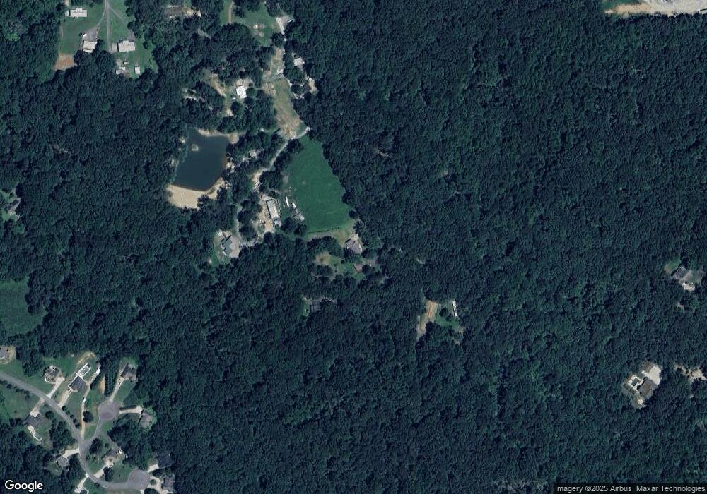
Map
Nearby Homes
- 180 Ingram Dr
- 103 Ingram Dr
- 352 Ingram Dr
- 73 Ingram Dr
- 212 Nestlebrooke Dr
- 53 Nestlebrook Ct
- 259 Nestlebrooke Dr
- 0 Nestlebrook Ct Unit 5727360
- 0 Nestlebrook Ct Unit 3087250
- 0 Nestlebrook Ct Unit 7227251
- 0 Nestlebrook Ct Unit 8039054
- 2201 Perimeter Rd
- 2337 Perimeter Rd
- 268 Nestlebrooke Dr
- 2363 Perimeter Rd
- 171 Nestlebrooke Dr
- 227 Nestlebrooke Dr
- 46 Nestlebrooke Ct
- 271 Hunters Dr
- 117 Nestlebrooke Dr