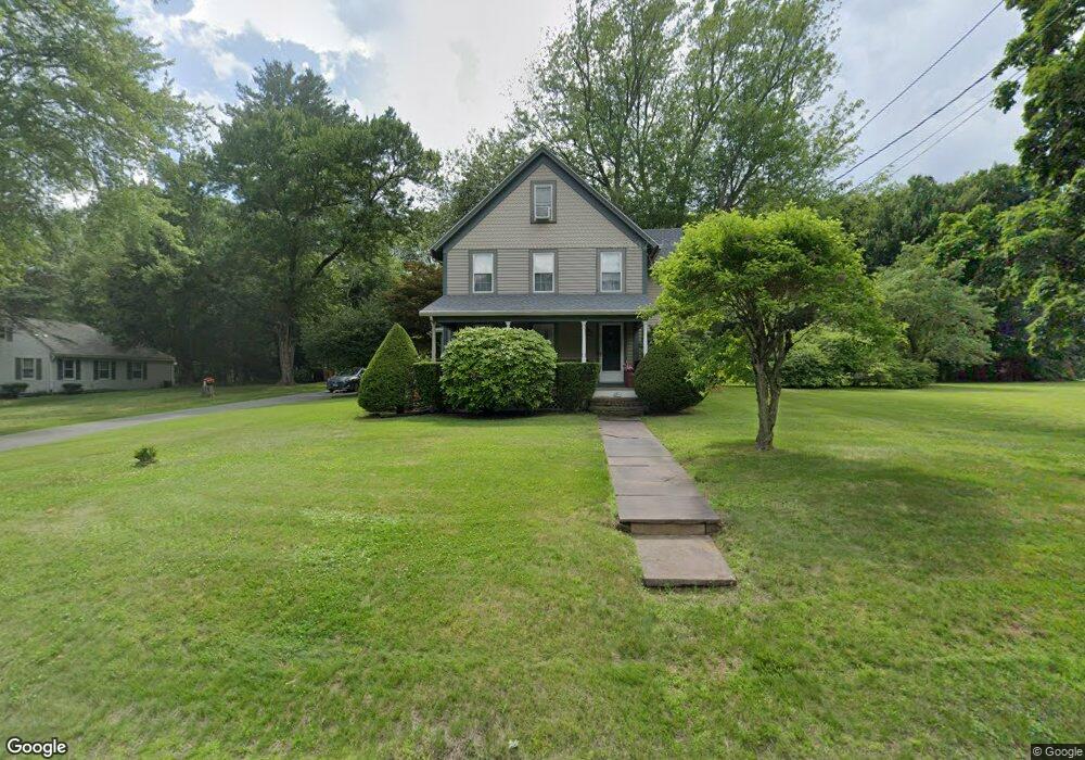
272 Kibbe Rd East Longmeadow, MA 01028
Estimated Value: $369,000 - $409,000
3
Beds
2
Baths
1,656
Sq Ft
$237/Sq Ft
Est. Value
About This Home
This home is located at 272 Kibbe Rd, East Longmeadow, MA 01028 and is currently estimated at $391,761, approximately $236 per square foot. 272 Kibbe Rd is a home located in Hampden County with nearby schools including Meadowbrook Elementary School, Birchland Park Middle School, and East Longmeadow High School.
Ownership History
Date
Name
Owned For
Owner Type
Purchase Details
Closed on
Oct 30, 2001
Sold by
Barry Brian D and Barry Sandra H
Bought by
Hall Kenneth E and Hall Lori J
Current Estimated Value
Home Financials for this Owner
Home Financials are based on the most recent Mortgage that was taken out on this home.
Original Mortgage
$172,197
Outstanding Balance
$67,997
Interest Rate
6.86%
Mortgage Type
Purchase Money Mortgage
Estimated Equity
$323,764
Purchase Details
Closed on
Dec 15, 1999
Sold by
Huntley Alan R and Huntley Heather E
Bought by
Barry Brian P and Barry Sandra H
Home Financials for this Owner
Home Financials are based on the most recent Mortgage that was taken out on this home.
Original Mortgage
$136,197
Interest Rate
7.81%
Mortgage Type
Purchase Money Mortgage
Create a Home Valuation Report for This Property
The Home Valuation Report is an in-depth analysis detailing your home's value as well as a comparison with similar homes in the area
Home Values in the Area
Average Home Value in this Area
Purchase History
| Date | Buyer | Sale Price | Title Company |
|---|---|---|---|
| Hall Kenneth E | $174,900 | -- | |
| Barry Brian P | $148,000 | -- |
Source: Public Records
Mortgage History
| Date | Status | Borrower | Loan Amount |
|---|---|---|---|
| Open | Barry Brian P | $172,197 | |
| Previous Owner | Barry Brian P | $10,000 | |
| Previous Owner | Barry Brian P | $136,197 |
Source: Public Records
Tax History Compared to Growth
Tax History
| Year | Tax Paid | Tax Assessment Tax Assessment Total Assessment is a certain percentage of the fair market value that is determined by local assessors to be the total taxable value of land and additions on the property. | Land | Improvement |
|---|---|---|---|---|
| 2025 | $5,842 | $316,100 | $142,600 | $173,500 |
| 2024 | $5,616 | $302,900 | $142,600 | $160,300 |
| 2023 | $5,322 | $277,200 | $130,600 | $146,600 |
| 2022 | $5,024 | $247,600 | $118,200 | $129,400 |
| 2021 | $4,934 | $234,300 | $110,200 | $124,100 |
| 2020 | $4,747 | $227,800 | $110,200 | $117,600 |
| 2019 | $4,570 | $222,400 | $107,400 | $115,000 |
| 2018 | $4,467 | $213,300 | $107,400 | $105,900 |
| 2017 | $4,341 | $209,000 | $105,400 | $103,600 |
| 2016 | $4,317 | $204,400 | $102,200 | $102,200 |
| 2015 | $4,235 | $204,400 | $102,200 | $102,200 |
Source: Public Records
Map
Nearby Homes
- 14 Porter Rd
- 503 Parker St
- 1 Jeffrey Ln
- LOT 18 Farmer Cir
- Lot 24 Happy Acres Ln
- 404 Parker St
- 11 Park Place
- 57 Marci Ave
- 109 Somers Rd
- 158 Elm St
- 75 Marci Ave
- 350 Parker St
- 26 High St
- Lot 13 Farmer Cir
- Lot 21 Farmer Cir
- 2 Melody Ln
- 15 Fernwood Dr
- 20 Maynard St
- 0 Apple Blossom Ln
- 46 Chestnut Street Place