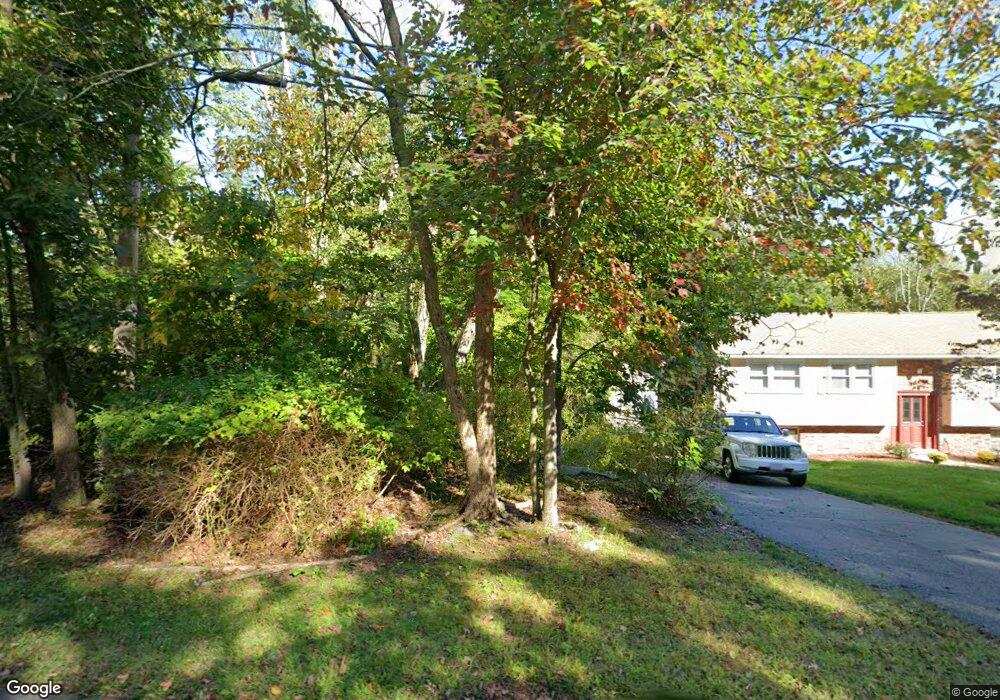
272 Newport Ave Attleboro, MA 02703
Estimated Value: $502,000 - $584,000
3
Beds
2
Baths
1,500
Sq Ft
$356/Sq Ft
Est. Value
About This Home
This home is located at 272 Newport Ave, Attleboro, MA 02703 and is currently estimated at $534,731, approximately $356 per square foot. 272 Newport Ave is a home located in Bristol County with nearby schools including A. Irvin Studley Elementary School, Robert J. Coelho Middle School, and Attleboro High School.
Ownership History
Date
Name
Owned For
Owner Type
Purchase Details
Closed on
Dec 13, 2002
Sold by
Tanzi Roland J and Tanzi Cheryl L
Bought by
Whiting Scott and Whiting Laura
Current Estimated Value
Home Financials for this Owner
Home Financials are based on the most recent Mortgage that was taken out on this home.
Original Mortgage
$220,000
Outstanding Balance
$94,024
Interest Rate
6.17%
Mortgage Type
Purchase Money Mortgage
Estimated Equity
$440,707
Purchase Details
Closed on
Sep 1, 1995
Sold by
Dwyer Helene F and Dwyer Daniel P
Bought by
Tanzi Cheryl L and Tanzi Roland J
Home Financials for this Owner
Home Financials are based on the most recent Mortgage that was taken out on this home.
Original Mortgage
$139,900
Interest Rate
7.61%
Mortgage Type
Purchase Money Mortgage
Purchase Details
Closed on
Nov 30, 1994
Sold by
Lescault Alfred R
Bought by
Dwyer Helene F and Dwyer Daniel P
Create a Home Valuation Report for This Property
The Home Valuation Report is an in-depth analysis detailing your home's value as well as a comparison with similar homes in the area
Home Values in the Area
Average Home Value in this Area
Purchase History
| Date | Buyer | Sale Price | Title Company |
|---|---|---|---|
| Whiting Scott | $275,000 | -- | |
| Tanzi Cheryl L | $139,900 | -- | |
| Dwyer Helene F | $20,000 | -- |
Source: Public Records
Mortgage History
| Date | Status | Borrower | Loan Amount |
|---|---|---|---|
| Open | Whiting Scott | $220,000 | |
| Previous Owner | Dwyer Helene F | $137,700 | |
| Previous Owner | Dwyer Helene F | $139,900 |
Source: Public Records
Tax History Compared to Growth
Tax History
| Year | Tax Paid | Tax Assessment Tax Assessment Total Assessment is a certain percentage of the fair market value that is determined by local assessors to be the total taxable value of land and additions on the property. | Land | Improvement |
|---|---|---|---|---|
| 2025 | $4,696 | $374,200 | $139,100 | $235,100 |
| 2024 | $4,602 | $361,500 | $139,100 | $222,400 |
| 2023 | $4,240 | $309,700 | $127,300 | $182,400 |
| 2022 | $4,095 | $283,400 | $121,700 | $161,700 |
| 2021 | $4,082 | $275,800 | $117,500 | $158,300 |
| 2020 | $3,914 | $268,800 | $114,100 | $154,700 |
| 2019 | $3,806 | $268,800 | $112,100 | $156,700 |
| 2018 | $3,714 | $250,600 | $109,100 | $141,500 |
| 2017 | $3,388 | $250,900 | $109,100 | $141,800 |
| 2016 | $3,610 | $243,600 | $107,500 | $136,100 |
| 2015 | $3,520 | $239,300 | $107,500 | $131,800 |
| 2014 | $3,459 | $232,900 | $102,500 | $130,400 |
Source: Public Records
Map
Nearby Homes
- 338 Newport Ave
- 135 Cumberland Ave
- 23 Cumberland Ave
- 176 Read St
- 0 Middle St
- 543 Newport Ave
- 15 Arline Dr
- 59 Samuel Way
- 11 Howarth Ave
- 155 May St
- 27 Killarney Way
- 64 Highland Ave Unit A
- 64 Highland Ave Unit B
- 130 Zoar Ave
- 0 Mendon Rd
- 39 Slade Ave
- 20 Georgia Rae Way
- 31 Paine Rd
- 1 Frederick a Nittel Dr
- 181 Paine Rd
- 270 Newport Ave
- 276 Newport Ave
- 262 Newport Ave
- 282 Newport Ave
- 254 Newport Ave
- 290 Newport Ave
- 246 Newport Ave
- 275 Newport Ave
- 283 Newport Ave
- 298 Newport Ave
- 242 Newport Ave
- 236 Newport Ave
- 306 Newport Ave
- 230 Newport Ave
- 295 Newport Ave
- 1 Walnut Hill Dr
- 312 Newport Ave
- 224 Newport Ave
- 309 Newport Ave
- 291 Newport Ave