272 Robbers Nest Dr Breckenridge, CO 80424
Estimated Value: $1,384,387 - $2,208,000
4
Beds
2
Baths
1,680
Sq Ft
$1,071/Sq Ft
Est. Value
About This Home
This home is located at 272 Robbers Nest Dr, Breckenridge, CO 80424 and is currently estimated at $1,799,097, approximately $1,070 per square foot. 272 Robbers Nest Dr is a home with nearby schools including Breckenridge Elementary School, Summit Middle School, and Summit High School.
Ownership History
Date
Name
Owned For
Owner Type
Purchase Details
Closed on
Apr 17, 2024
Sold by
Soles Gary J and Martin Nancy A
Bought by
Gary J Soles & Nancy A Martin Trust and Soles
Current Estimated Value
Purchase Details
Closed on
May 20, 2009
Sold by
Martin Nancy A and Soles Gay J
Bought by
Martin Nancy A and Soles Gary J
Purchase Details
Closed on
Oct 26, 2007
Sold by
Gay Blair and Gay Paula S
Bought by
Martin Nancy A and Soles Gary J
Home Financials for this Owner
Home Financials are based on the most recent Mortgage that was taken out on this home.
Original Mortgage
$417,000
Interest Rate
6.32%
Mortgage Type
New Conventional
Create a Home Valuation Report for This Property
The Home Valuation Report is an in-depth analysis detailing your home's value as well as a comparison with similar homes in the area
Home Values in the Area
Average Home Value in this Area
Purchase History
| Date | Buyer | Sale Price | Title Company |
|---|---|---|---|
| Gary J Soles & Nancy A Martin Trust | -- | None Listed On Document | |
| Martin Nancy A | -- | None Available | |
| Martin Nancy A | $749,000 | Land Title Guarantee Company |
Source: Public Records
Mortgage History
| Date | Status | Borrower | Loan Amount |
|---|---|---|---|
| Previous Owner | Martin Nancy A | $417,000 |
Source: Public Records
Tax History Compared to Growth
Tax History
| Year | Tax Paid | Tax Assessment Tax Assessment Total Assessment is a certain percentage of the fair market value that is determined by local assessors to be the total taxable value of land and additions on the property. | Land | Improvement |
|---|---|---|---|---|
| 2024 | $3,974 | $84,460 | -- | -- |
| 2023 | $3,974 | $80,775 | $0 | $0 |
| 2022 | $3,038 | $57,803 | $0 | $0 |
| 2021 | $3,094 | $59,467 | $0 | $0 |
| 2020 | $2,422 | $46,164 | $0 | $0 |
| 2019 | $2,388 | $46,164 | $0 | $0 |
| 2018 | $2,382 | $44,625 | $0 | $0 |
| 2017 | $2,179 | $44,625 | $0 | $0 |
| 2016 | $2,060 | $41,544 | $0 | $0 |
| 2015 | $1,994 | $41,544 | $0 | $0 |
| 2014 | $1,932 | $39,729 | $0 | $0 |
| 2013 | -- | $39,729 | $0 | $0 |
Source: Public Records
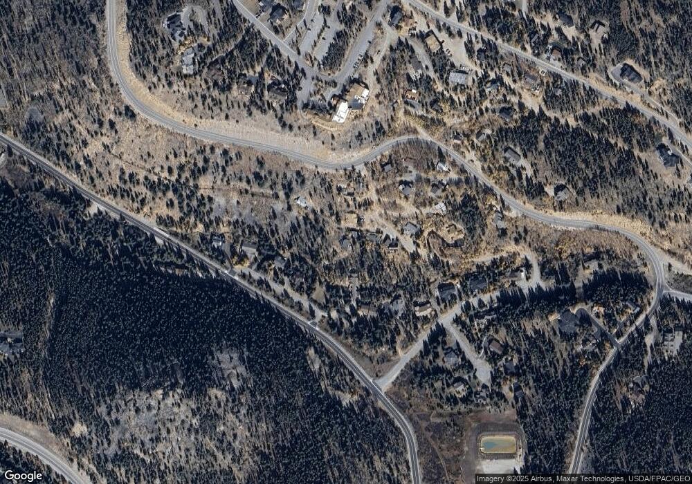
Map
Nearby Homes
- 1139 Boreas Pass Rd
- 1031 Boreas Pass Rd
- 3362 Boreas Pass Rd
- 86 Grey Jay Ln
- 94 Sun Beam Dr
- 112 Klack Rd
- 285 Green Jay Ln
- 165 River Park Dr
- 366 Moonstone Rd
- 387 Moonstone Rd
- 2520 Boreas Pass Rd
- 378 Juniata Cir
- 57 Apex Cir
- 33 Broken Lance Dr Unit 206S
- 33 Broken Lance Dr Unit 100S
- 550 S French St Unit B205
- 306 Illinois Gulch Rd Unit 113
- 9339 Colorado 9 Unit 101
- 304 Illinois Gulch Rd Unit 204
- 290 Broken Lance Dr Unit A-303
- 243 Robbers Nest Dr
- 262 Robbers Nest Dr
- 1014 Brookside Ln
- 252 Robbers Nest Dr
- 276 Robbers Nest Dr
- 1010 Brookside Ln
- 182 Robbers Nest Dr
- 1008 Brookside Ln
- 1016 Brookside Ln
- 82 Robbers Nest Dr
- 1100 Bright Hope St
- 81 Robbers Nest Dr
- 162 Robbers Nest Dr
- 42 Robbers Nest Dr
- 1006 Brookside Ln
- 61 Robbers Nest Dr
- 1102 Bright Hope Cir
- 256 Robbers Nest Dr
- 1104 Bright Hope Cir
- 31 Robbers Nest Dr