272 Swan Rd New Sharon, ME 04955
Estimated Value: $184,000 - $324,961
--
Bed
--
Bath
960
Sq Ft
$271/Sq Ft
Est. Value
About This Home
This home is located at 272 Swan Rd, New Sharon, ME 04955 and is currently estimated at $259,740, approximately $270 per square foot. 272 Swan Rd is a home with nearby schools including Mt. Blue High School.
Ownership History
Date
Name
Owned For
Owner Type
Purchase Details
Closed on
Jan 5, 2024
Sold by
Cushing Douglas R and Sinskie Dalene E
Bought by
Cushing Douglas R
Current Estimated Value
Purchase Details
Closed on
Nov 6, 2018
Sold by
Cushing Douglas R and Sinskie Dalene E
Bought by
Cushing Douglas R and Sinskie Dalene E
Purchase Details
Closed on
Sep 4, 2009
Sold by
Sinskie Dalene E
Bought by
Cushing Douglas R and Sinskie Dalene E
Create a Home Valuation Report for This Property
The Home Valuation Report is an in-depth analysis detailing your home's value as well as a comparison with similar homes in the area
Home Values in the Area
Average Home Value in this Area
Purchase History
| Date | Buyer | Sale Price | Title Company |
|---|---|---|---|
| Cushing Douglas R | -- | None Available | |
| Cushing Douglas R | -- | -- | |
| Cushing Douglas R | -- | -- |
Source: Public Records
Mortgage History
| Date | Status | Borrower | Loan Amount |
|---|---|---|---|
| Previous Owner | Cushing Douglas R | $10,000 |
Source: Public Records
Tax History Compared to Growth
Tax History
| Year | Tax Paid | Tax Assessment Tax Assessment Total Assessment is a certain percentage of the fair market value that is determined by local assessors to be the total taxable value of land and additions on the property. | Land | Improvement |
|---|---|---|---|---|
| 2024 | $3,606 | $330,800 | $46,400 | $284,400 |
| 2023 | $2,638 | $150,750 | $31,840 | $118,910 |
| 2022 | $2,409 | $150,750 | $31,840 | $118,910 |
| 2021 | $2,591 | $150,750 | $31,840 | $118,910 |
| 2020 | $10,614 | $150,750 | $31,840 | $118,910 |
| 2019 | $10,698 | $150,750 | $31,840 | $118,910 |
| 2018 | $10,353 | $150,750 | $31,840 | $118,910 |
| 2017 | $688 | $150,750 | $31,840 | $118,910 |
| 2016 | $0 | $150,750 | $31,840 | $118,910 |
| 2014 | $2,291 | $150,750 | $31,840 | $118,910 |
Source: Public Records
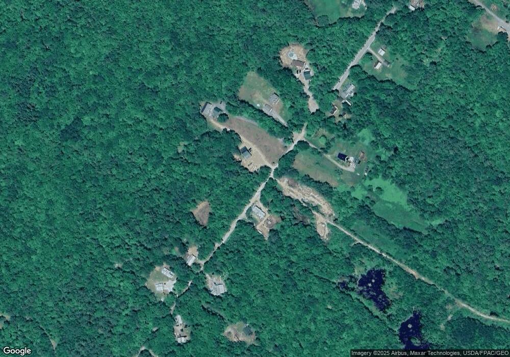
Map
Nearby Homes
- Lot 59&60 Starks Rd
- 681 Mile Hill Rd
- 33 Kimball Pond
- 35 Industry Rd
- 55 Cape Cod Hill Rd
- Lot 9 & 12 Smith Rd
- 331 Beans Corner Rd
- M1 L19 Homestead Hill Rd
- M-3 L-33-5 Cape Cod Hill Rd
- M-3 L-33-4 Cape Cod Hill Rd
- 645 Kimball Pond
- 510 Branns Mill Rd
- 10 Trista Ln
- 137 Butterfield Rd
- 0 Poor Farm Rd Unit 1637355
- Lot 70 Vienna Rd
- M18L13 Mercer Rd
- R-01-031 Mason Rd
- TBD Watson Pond Rd
- Lot 70 Fire Ln 2